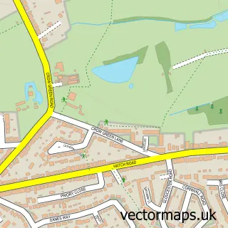
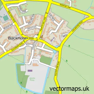
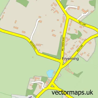
This Doddinghurst street map is a detailed vector street map covering a 750m x 750m area. Select a larger area to create and download your own vector street map of Doddinghurst.
The 750-metre map sample for Doddinghurst covers 309 mapped buildings and approximately 12.4 km of road detail, of which 17 named roads are named. The immediate area includes 2 schools, 1 GP surgery within 2 miles and 2 MOT stations within 2 miles. The wider area around Doddinghurst features 1 tourism point of interest and 1 campsite within 2 miles. To create a larger or custom map of Doddinghurst, the map builder lets you define your own coverage area and download editable SVG, PDF and PNG files.
Create a larger editable map of Doddinghurst
Choose any area you need and generate a high-quality vector map instantly. Perfect for print, planning, design, business and personal use.

This Doddinghurst street map in Essex is available as downloadable SVG, PDF and PNG map files, or as a printed map for planning, business, display, education, local information and design work. You can also create a larger custom map area using the map selector.
What this Doddinghurst map sample shows
Doddinghurst lies within Doddinghurst Cp parish, part of Brizes And Doddinghurst ward in the Brentwood District (B) local authority area. The postcode geography for this area includes the CM postcode area, the CM15 postcode district and the CM15 0 postcode sector. Residents fall under the Nhs Mid And South Essex Integrated Care Board for NHS services.
Local features near Doddinghurst
Within 2 milesAmenities and services in and around Doddinghurst.
Administrative and postcode information for Doddinghurst
The local authority covering Doddinghurst is Brentwood District (B), within the county of Essex. The settlement lies within Brizes And Doddinghurst ward and Doddinghurst Cp civil parish. The CM15 postcode district and CM15 0 postcode sector serve the immediate area. NHS provision in the area is delivered through Mid And South Essex Nhs Foundation Trust.
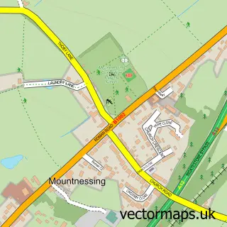
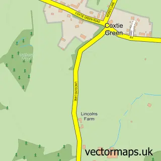
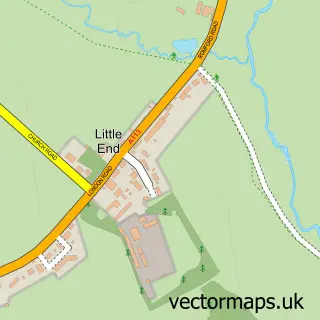
Nearby street map samples around Doddinghurst
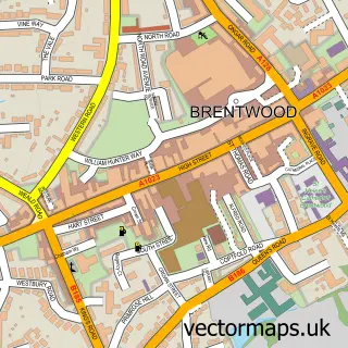

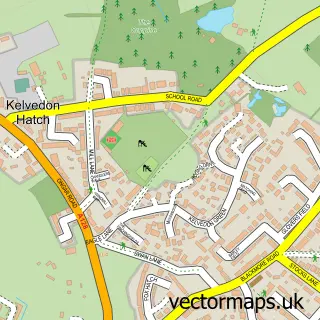
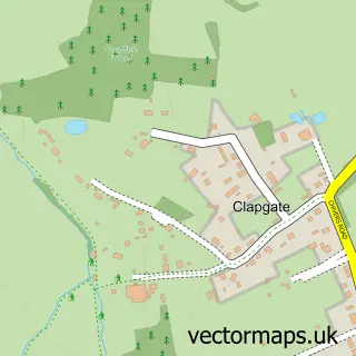
More street maps in Essex
750 metre map area coverage
Boundary, postcode and point of interest information for the 750m x 750m rectangle centred on this sample map.
Boundaries containing map centre
Constituency: Brentwood and Ongar Co Const
County: Essex County
District: Brentwood District (B)
Icb: NHS Essex ICB
Parish: Doddinghurst CP
Police Force: essex
Postcode District: CM15
Postcode Sector: CM15 0
Ward: Blackmore & Doddinghurst Ward
Nearby boundaries intersecting sample
Parish: Blackmore, Hook End and Wyatts Green CP
Postcode coverage
POI category counts
Elementary School: 3
Hair Salon: 3
Assisted Living Facility: 2
Shipping Center: 2
Anglican Church: 1
Barber: 1
Beauty Salon: 1
Campground: 1
Car Dealer: 1
Carpenter: 1
Sample points of interest
- Doddinghurst: All Saints
- Consensus Support Services
- Rowan House
- The Barbers at The Parish of Doddinghurst
- Ki Beauty & Wellness
- Serenity Meadow campsite
- JRC Mini
- Danecrest
- St Margaret Of Scotland
- Lion Rock Chinese Takeaway
- All Saints Church
- Doddinghurst Village Hall
Create a larger editable map of Doddinghurst
This sample shows only a 750 metre area. To create a larger map of Doddinghurst, use our map builder to choose your own coverage area, add titles and download editable SVG, PDF and PNG files.
Create a custom map of Doddinghurst