This Kelvedon Hatch street map is a detailed vector street map covering a 750m x 750m area. Select a larger area to create and download your own vector street map of Kelvedon Hatch.
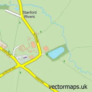
The 750-metre map sample for Kelvedon Hatch covers 403 mapped buildings and approximately 11.6 km of road detail, of which 23 named roads are named. The immediate area includes 1 school, 1 GP surgery within 2 miles, 3 pubs and 2 MOT stations within 2 miles. The wider area around Kelvedon Hatch features 4 food and drink venues and 1 campsite within 2 miles. To create a larger or custom map of Kelvedon Hatch, the map builder lets you define your own coverage area and download editable SVG, PDF and PNG files.
Create a larger editable map of Kelvedon Hatch
Choose any area you need and generate a high-quality vector map instantly. Perfect for print, planning, design, business and personal use.

This Kelvedon Hatch street map in Essex is available as downloadable SVG, PDF and PNG map files, or as a printed map for planning, business, display, education, local information and design work. You can also create a larger custom map area using the map selector.
What this Kelvedon Hatch map sample shows
Kelvedon Hatch lies within Kelvedon Hatch Cp parish, part of Brizes And Doddinghurst ward in the Brentwood District (B) local authority area. The postcode geography for this area includes the CM postcode area, the CM14 postcode district and the CM14 5 postcode sector. Residents fall under the Nhs Mid And South Essex Integrated Care Board for NHS services.
Local features near Kelvedon Hatch
Within 2 milesAmenities and services in and around Kelvedon Hatch.
Administrative and postcode information for Kelvedon Hatch
The local authority covering Kelvedon Hatch is Brentwood District (B), within the county of Essex. The settlement lies within Brizes And Doddinghurst ward and Kelvedon Hatch Cp civil parish. The CM14 postcode district and CM14 5 postcode sector serve the immediate area. NHS provision in the area is delivered through Mid And South Essex Nhs Foundation Trust.
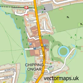
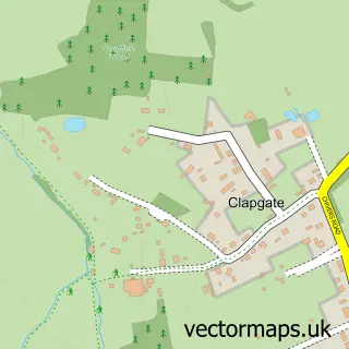
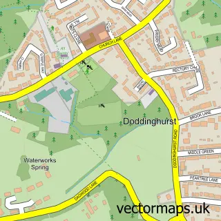
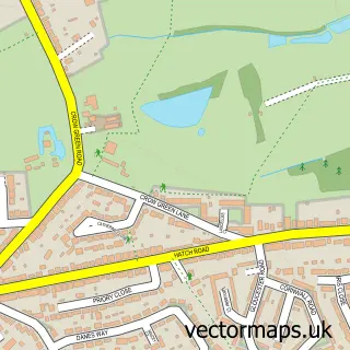
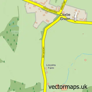
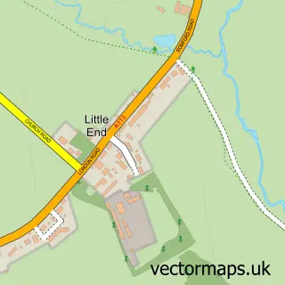
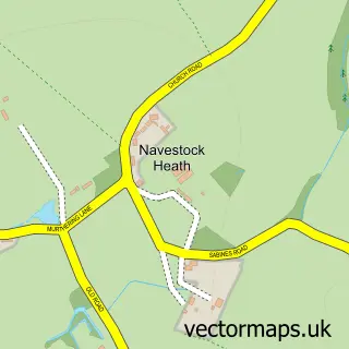
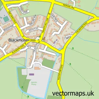
Nearby street map samples around Kelvedon Hatch

More street maps in Essex
750 metre map area coverage
Boundary, postcode and point of interest information for the 750m x 750m rectangle centred on this sample map.
Boundaries containing map centre
Constituency: Brentwood and Ongar Co Const
County: Essex County
District: Brentwood District (B)
Icb: NHS Essex ICB
Parish: Kelvedon Hatch CP
Police Force: essex
Postcode District: CM15
Postcode Sector: CM15 0
Ward: Brizes, Stondon Massey & South Weald Ward
Nearby boundaries intersecting sample
Parish: Stondon Massey CP
Postcode coverage
POI category counts
Building Supply Store: 4
Pub: 3
Beauty Product Supplier: 2
Fire Protection Service: 2
Indian Restaurant: 2
Massage Therapy: 2
Preschool: 2
Used Car Dealer: 2
Active Life: 1
Automotive Repair: 1
Sample points of interest
- Rope Runners
- Chips Away
- Beaufemme
- Entirely Aloe
- HPS High Pressure Services
- Ideal Plumbing & Heating
- New Leaf Landscapes & Brickwork
- R.P McWilliams & Co.Ltd
- Burgoyne Motors
- Chim Chimney Sweeps
- Costa Express
- Kelvedon Hatch Village Hall
Create a larger editable map of Kelvedon Hatch
This sample shows only a 750 metre area. To create a larger map of Kelvedon Hatch, use our map builder to choose your own coverage area, add titles and download editable SVG, PDF and PNG files.
Create a custom map of Kelvedon Hatch