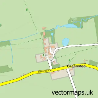
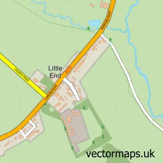
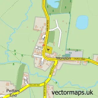
This Chipping Ongar street map is a detailed vector street map covering a 750m x 750m area. Select a larger area to create and download your own vector street map of Chipping Ongar.
The 750-metre map sample for Chipping Ongar covers 240 mapped buildings and approximately 7.7 km of road detail, of which 22 named roads are named. The immediate area includes 1 railway station, 1 GP surgery within 2 miles, 2 pubs and 1 MOT station, with 4 within 2 miles. The wider area around Chipping Ongar features 1 tourism point of interest and 8 food and drink venues. To create a larger or custom map of Chipping Ongar, the map builder lets you define your own coverage area and download editable SVG, PDF and PNG files.
Create a larger editable map of Chipping Ongar
Choose any area you need and generate a high-quality vector map instantly. Perfect for print, planning, design, business and personal use.

This Chipping Ongar street map in Essex is available as downloadable SVG, PDF and PNG map files, or as a printed map for planning, business, display, education, local information and design work. You can also create a larger custom map area using the map selector.
What this Chipping Ongar map sample shows
Chipping Ongar lies within Ongar Cp parish, part of Chipping Ongar, Greensted And Marden Ash ward in the Epping Forest District local authority area. The postcode geography for this area includes the CM postcode area, the CM5 postcode district and the CM5 0 postcode sector. Residents fall under the Nhs Hertfordshire And West Essex Integrated Care Board for NHS services.
Local features near Chipping Ongar
Within 2 milesAmenities and services in and around Chipping Ongar.
Administrative and postcode information for Chipping Ongar
The local authority covering Chipping Ongar is Epping Forest District, within the county of Essex. The settlement lies within Chipping Ongar, Greensted And Marden Ash ward and Ongar Cp civil parish. The CM5 postcode district and CM5 0 postcode sector serve the immediate area. NHS provision in the area is delivered through The Princess Alexandra Hospital Nhs Trust.
Nearby street map samples around Chipping Ongar

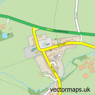
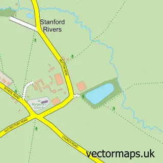
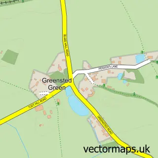
More street maps in Essex
750 metre map area coverage
Boundary, postcode and point of interest information for the 750m x 750m rectangle centred on this sample map.
Boundaries containing map centre
Constituency: Brentwood and Ongar Co Const
County: Essex County
District: Epping Forest District
Icb: NHS Central East ICB
Parish: Ongar CP
Police Force: essex
Postcode District: CM5
Postcode Sector: CM5 9
Ward: Ongar Ward
Nearby boundaries intersecting sample
No additional intersecting boundaries found.
Postcode coverage
POI category counts
Beauty Salon: 11
Gift Shop: 4
Hair Salon: 4
Real Estate Agent: 4
Barber: 3
Beauty And Spa: 3
Coffee Shop: 3
Gas Station: 3
Home Goods Store: 3
Indian Restaurant: 3
Sample points of interest
- Aces Accounts & Taxation Ltd
- Transform Accounting
- Ongar Rugby Club
- Gustav Kaser Training International
- St Martin's Chipping Ongar
- MP Chartered Architects
- Sewing Box
- Budworth Hall
- Ongar Arts Academy
- Mogul Restaurant
- Sanis Motors
- InstaVolt Charging Station
Create a larger editable map of Chipping Ongar
This sample shows only a 750 metre area. To create a larger map of Chipping Ongar, use our map builder to choose your own coverage area, add titles and download editable SVG, PDF and PNG files.
Create a custom map of Chipping Ongar