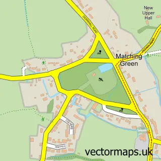
This Fyfield street map is a detailed vector street map covering a 750m x 750m area. Select a larger area to create and download your own vector street map of Fyfield.
The 750-metre map sample for Fyfield covers 145 mapped buildings and approximately 9.4 km of road detail, of which 10 named roads are named. The immediate area includes 1 school, 1 GP surgery within 2 miles and 1 pub. The wider area around Fyfield features 1 food and drink venue. To create a larger or custom map of Fyfield, the map builder lets you define your own coverage area and download editable SVG, PDF and PNG files.
Create a larger editable map of Fyfield
Choose any area you need and generate a high-quality vector map instantly. Perfect for print, planning, design, business and personal use.

This Fyfield street map in Essex is available as downloadable SVG, PDF and PNG map files, or as a printed map for planning, business, display, education, local information and design work. You can also create a larger custom map area using the map selector.
What this Fyfield map sample shows
Fyfield lies within Fyfield Cp parish, part of Moreton And Fyfield ward in the Epping Forest District local authority area. The postcode geography for this area includes the CM postcode area, the CM5 postcode district and the CM5 0 postcode sector. Residents fall under the Nhs Hertfordshire And West Essex Integrated Care Board for NHS services.
Local features near Fyfield
Within 2 milesAmenities and services in and around Fyfield.
Administrative and postcode information for Fyfield
Fyfield lies within Fyfield Cp parish, part of Moreton And Fyfield ward in the Epping Forest District local authority area. The postcode geography for this area includes the CM postcode area, the CM5 postcode district and the CM5 0 postcode sector. Residents fall under the Nhs Hertfordshire And West Essex Integrated Care Board for NHS services.
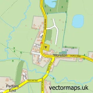
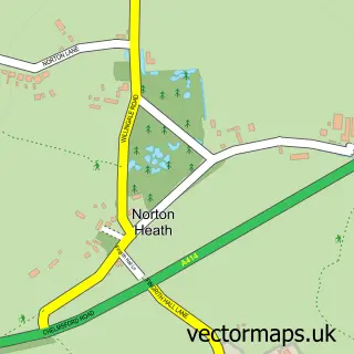
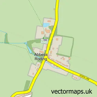
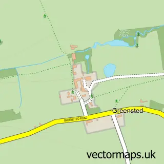
Nearby street map samples around Fyfield

More street maps in Essex
750 metre map area coverage
Boundary, postcode and point of interest information for the 750m x 750m rectangle centred on this sample map.
Boundaries containing map centre
Constituency: Brentwood and Ongar Co Const
County: Essex County
District: Epping Forest District
Icb: NHS Central East ICB
Parish: Fyfield CP
Police Force: essex
Postcode District: CM5
Postcode Sector: CM5 0
Ward: Rural East Ward
Nearby boundaries intersecting sample
No additional intersecting boundaries found.
Postcode coverage
POI category counts
Post Office: 2
Preschool: 2
Scout Hall: 2
Anglican Church: 1
Bar: 1
Community Center: 1
Educational Services: 1
Elementary School: 1
Gardener: 1
Janitorial Services: 1
Sample points of interest
- Fyfield: St Nicholas
- Black Bull
- Fyfield Village Hall
- Dyslexia Essex
- Dr Walker's Church of England Primary School
- Gardencare Tree Services
- Abaddon Pest & Vermin Control
- Fyfield Post Office
- Post Office
- Fyfield Pre-School
- Fyfield Pre-School Within Fyfield Scout Hut
- Fyfield Village Hall
Create a larger editable map of Fyfield
This sample shows only a 750 metre area. To create a larger map of Fyfield, use our map builder to choose your own coverage area, add titles and download editable SVG, PDF and PNG files.
Create a custom map of Fyfield