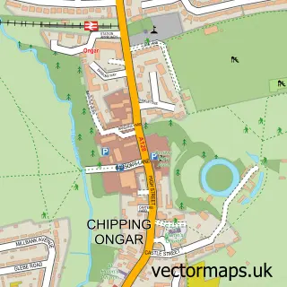
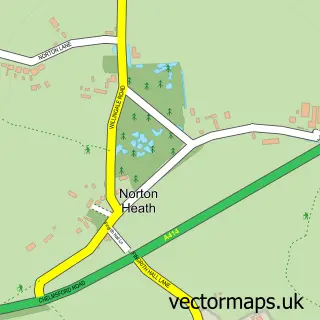
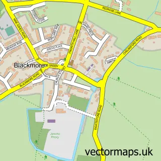
This High Ongar street map is a detailed vector street map covering a 750m x 750m area. Select a larger area to create and download your own vector street map of High Ongar.
The 750-metre map sample for High Ongar covers 100 mapped buildings and approximately 8.4 km of road detail, of which 6 named roads are named. The immediate area includes 1 school, 1 GP surgery within 2 miles, 1 pub and 4 MOT stations within 2 miles. The wider area around High Ongar features 1 tourism point of interest and 2 food and drink venues. To create a larger or custom map of High Ongar, the map builder lets you define your own coverage area and download editable SVG, PDF and PNG files.
Create a larger editable map of High Ongar
Choose any area you need and generate a high-quality vector map instantly. Perfect for print, planning, design, business and personal use.

This High Ongar street map in Essex is available as downloadable SVG, PDF and PNG map files, or as a printed map for planning, business, display, education, local information and design work. You can also create a larger custom map area using the map selector.
What this High Ongar map sample shows
High Ongar lies within High Ongar Cp parish, part of High Ongar, Willingale And The Rodings ward in the Epping Forest District local authority area. The postcode geography for this area includes the CM postcode area, the CM5 postcode district and the CM5 9 postcode sector. Residents fall under the Nhs Hertfordshire And West Essex Integrated Care Board for NHS services.
Local features near High Ongar
Within 2 milesAmenities and services in and around High Ongar.
Administrative and postcode information for High Ongar
High Ongar lies within High Ongar Cp parish, part of High Ongar, Willingale And The Rodings ward in the Epping Forest District local authority area. The postcode geography for this area includes the CM postcode area, the CM5 postcode district and the CM5 9 postcode sector. Residents fall under the Nhs Hertfordshire And West Essex Integrated Care Board for NHS services.
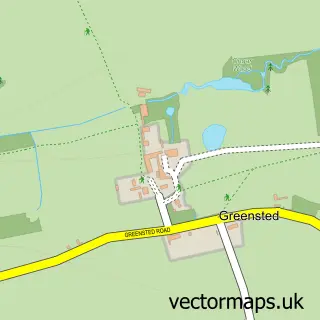
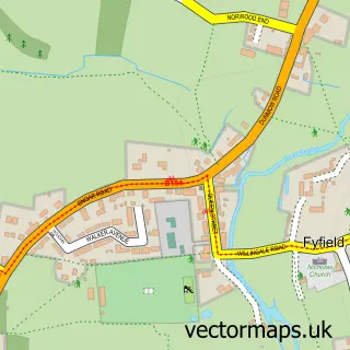
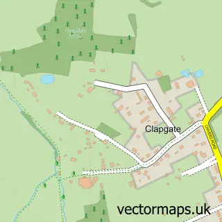
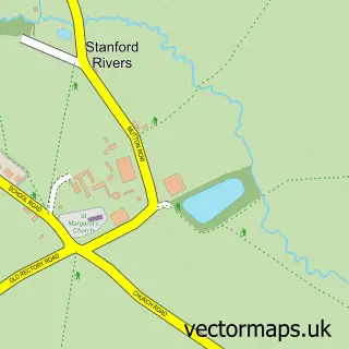
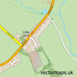
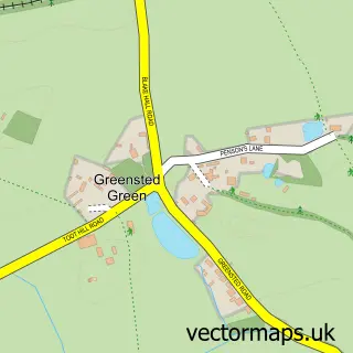
Nearby street map samples around High Ongar

More street maps in Essex
750 metre map area coverage
Boundary, postcode and point of interest information for the 750m x 750m rectangle centred on this sample map.
Boundaries containing map centre
Constituency: Brentwood and Ongar Co Const
County: Essex County
District: Epping Forest District
Icb: NHS Central East ICB
Parish: High Ongar CP
Police Force: essex
Postcode District: CM5
Postcode Sector: CM5 9
Ward: Ongar Ward
Nearby boundaries intersecting sample
No additional intersecting boundaries found.
Postcode coverage
POI category counts
Building Supply Store: 2
Event Planning: 2
Packing Supply: 2
Anglican Church: 1
Arts And Entertainment: 1
Carpenter: 1
Church Cathedral: 1
Coffee Shop: 1
Convenience Store: 1
Currency Exchange: 1
Sample points of interest
- High Ongar: St Mary the Virgin
- The Potty Painting Studio
- Crown Tree Service
- R Benjamin Plumbing and heating
- Ashley Craft
- St. Mary's Church
- The Coffee Post
- Post Office-High Ongar
- Post Office Travel Money
- National Safety Management
- High Ongar Primary School
- High Ongar Village Hall
Create a larger editable map of High Ongar
This sample shows only a 750 metre area. To create a larger map of High Ongar, use our map builder to choose your own coverage area, add titles and download editable SVG, PDF and PNG files.
Create a custom map of High Ongar