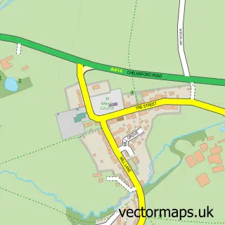
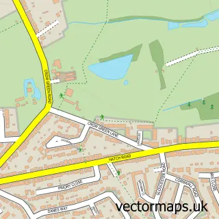
This Clapgate street map is a detailed vector street map covering a 750m x 750m area. Select a larger area to create and download your own vector street map of Clapgate.
The 750-metre map sample for Clapgate covers 135 mapped buildings and approximately 3.8 km of road detail, of which 1 named road are named. The immediate area includes 1 GP surgery within 2 miles and 3 MOT stations within 2 miles. The wider area around Clapgate features 1 campsite within 2 miles. To create a larger or custom map of Clapgate, the map builder lets you define your own coverage area and download editable SVG, PDF and PNG files.
Create a larger editable map of Clapgate
Choose any area you need and generate a high-quality vector map instantly. Perfect for print, planning, design, business and personal use.

This Clapgate street map in Essex is available as downloadable SVG, PDF and PNG map files, or as a printed map for planning, business, display, education, local information and design work. You can also create a larger custom map area using the map selector.
What this Clapgate map sample shows
Clapgate lies within Stondon Massey Cp parish, part of Tipps Cross ward in the Brentwood District (B) local authority area. The postcode geography for this area includes the CM postcode area, the CM15 postcode district and the CM15 0 postcode sector. Residents fall under the Nhs Mid And South Essex Integrated Care Board for NHS services.
Local features near Clapgate
Within 2 milesAmenities and services in and around Clapgate.
Administrative and postcode information for Clapgate
Clapgate lies within Stondon Massey Cp parish, part of Tipps Cross ward in the Brentwood District (B) local authority area. The postcode geography for this area includes the CM postcode area, the CM15 postcode district and the CM15 0 postcode sector. Residents fall under the Nhs Mid And South Essex Integrated Care Board for NHS services.
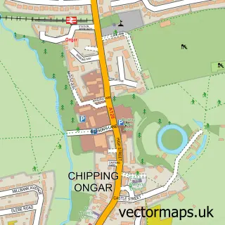
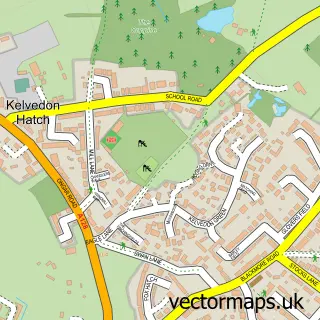
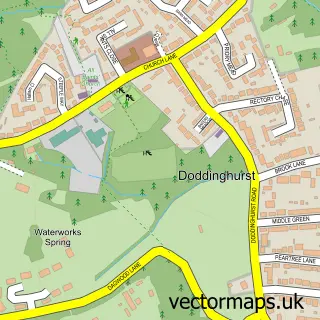
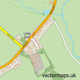
Nearby street map samples around Clapgate

More street maps in Essex
750 metre map area coverage
Boundary, postcode and point of interest information for the 750m x 750m rectangle centred on this sample map.
Boundaries containing map centre
Constituency: Brentwood and Ongar Co Const
County: Essex County
District: Brentwood District (B)
Icb: NHS Essex ICB
Parish: Stondon Massey CP
Police Force: essex
Postcode District: CM15
Postcode Sector: CM15 0
Ward: Brizes, Stondon Massey & South Weald Ward
Nearby boundaries intersecting sample
Parish: Kelvedon Hatch CP
Postcode coverage
POI category counts
Animal Shelter: 2
Automotive Parts And Accessories: 1
Automotive Repair: 1
Ceiling Service: 1
Freight And Cargo Service: 1
Home Service: 1
Key And Locksmith: 1
Land Surveying: 1
Pet Groomer: 1
Professional Services: 1
Sample points of interest
- Wallace Kennels
- Wallace Kennels
- R&K Auto Spares LTD
- Clapgate Autos Ltd
- Gutters4u Ltd.
- Simply Exports
- MTS Security
- AKAR Keys
- Cable Tracing Services
- Sally's K9 Cuts
- 247 Diggers
- German Spare Parts
Create a larger editable map of Clapgate
This sample shows only a 750 metre area. To create a larger map of Clapgate, use our map builder to choose your own coverage area, add titles and download editable SVG, PDF and PNG files.
Create a custom map of Clapgate