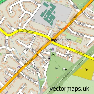
This Highwood street map is a detailed vector street map covering a 750m x 750m area. Select a larger area to create and download your own vector street map of Highwood.
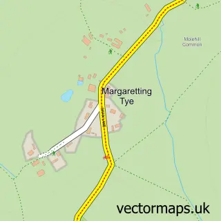
The 750-metre map sample for Highwood covers 87 mapped buildings and approximately 3.7 km of road detail, of which 3 named roads are named. The immediate area includes 1 school and 1 MOT station. The wider area around Highwood features 1 tourism point of interest and 1 food and drink venue. To create a larger or custom map of Highwood, the map builder lets you define your own coverage area and download editable SVG, PDF and PNG files.
Create a larger editable map of Highwood
Choose any area you need and generate a high-quality vector map instantly. Perfect for print, planning, design, business and personal use.

This Highwood street map in Essex is available as downloadable SVG, PDF and PNG map files, or as a printed map for planning, business, display, education, local information and design work. You can also create a larger custom map area using the map selector.
What this Highwood map sample shows
Highwood lies within Highwood Cp parish, part of Chelmsford Rural West ward in the Chelmsford District (B) local authority area. The postcode geography for this area includes the CM postcode area, the CM1 postcode district and the CM1 3 postcode sector. Residents fall under the Nhs Mid And South Essex Integrated Care Board for NHS services.
Local features near Highwood
Within 2 milesAmenities and services in and around Highwood.
Administrative and postcode information for Highwood
The local authority covering Highwood is Chelmsford District (B), within the county of Essex. The settlement lies within Chelmsford Rural West ward and Highwood Cp civil parish. The CM1 postcode district and CM1 3 postcode sector serve the immediate area. NHS provision in the area is delivered through Mid And South Essex Nhs Foundation Trust.
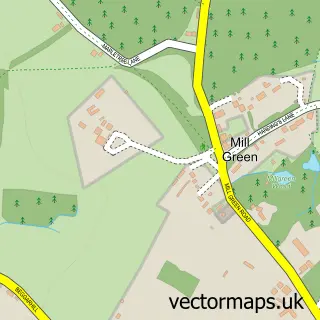
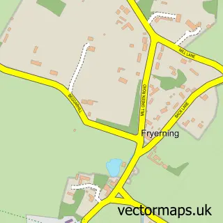
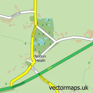
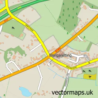
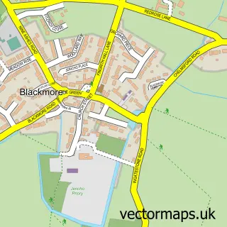
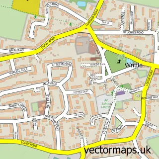
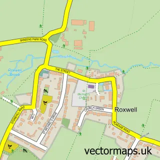
Nearby street map samples around Highwood

More street maps in Essex
750 metre map area coverage
Boundary, postcode and point of interest information for the 750m x 750m rectangle centred on this sample map.
Boundaries containing map centre
Constituency: North West Essex Co Const
County: Essex County
District: Chelmsford District (B)
Icb: NHS Essex ICB
Parish: Highwood CP
Police Force: essex
Postcode District: CM1
Postcode Sector: CM1 3
Ward: Chelmsford Rural West Ward
Nearby boundaries intersecting sample
No additional intersecting boundaries found.
Postcode coverage
POI category counts
Automotive Repair: 6
Auto Detailing: 2
Active Life: 1
Automotive: 1
Automotive Parts And Accessories: 1
Beauty Salon: 1
Beverage Store: 1
Car Dealer: 1
Coffee Shop: 1
Community Center: 1
Sample points of interest
- Belsmard
- Autoart Detailing & Restoration
- Xotix
- Leisure Shop Ltd.
- Protech Electrics
- Brentwood Auto Spares
- Colbalt Mechanics
- D & a Autos
- M S Motortech
- Repair Refurb Your Ride
- Toptech Engines
- Louise Frost Skincare & Wellbeing
Create a larger editable map of Highwood
This sample shows only a 750 metre area. To create a larger map of Highwood, use our map builder to choose your own coverage area, add titles and download editable SVG, PDF and PNG files.
Create a custom map of Highwood