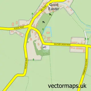
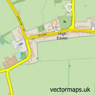
This Roxwell street map is a detailed vector street map covering a 750m x 750m area. Select a larger area to create and download your own vector street map of Roxwell.
The 750-metre map sample for Roxwell covers 166 mapped buildings and approximately 11.0 km of road detail, of which 9 named roads are named. The immediate area includes 1 school, 1 pub and 2 MOT stations within 2 miles. The wider area around Roxwell features 1 food and drink venue. To create a larger or custom map of Roxwell, the map builder lets you define your own coverage area and download editable SVG, PDF and PNG files.
Create a larger editable map of Roxwell
Choose any area you need and generate a high-quality vector map instantly. Perfect for print, planning, design, business and personal use.

This Roxwell street map in Essex is available as downloadable SVG, PDF and PNG map files, or as a printed map for planning, business, display, education, local information and design work. You can also create a larger custom map area using the map selector.
What this Roxwell map sample shows
Roxwell lies within Roxwell Cp parish, part of Chelmsford Rural West ward in the Chelmsford District (B) local authority area. The postcode geography for this area includes the CM postcode area, the CM1 postcode district and the CM1 4 postcode sector. Residents fall under the Nhs Mid And South Essex Integrated Care Board for NHS services.
Local features near Roxwell
Within 2 milesAmenities and services in and around Roxwell.
Administrative and postcode information for Roxwell
Roxwell lies within Roxwell Cp parish, part of Chelmsford Rural West ward in the Chelmsford District (B) local authority area. The postcode geography for this area includes the CM postcode area, the CM1 postcode district and the CM1 4 postcode sector. Residents fall under the Nhs Mid And South Essex Integrated Care Board for NHS services.
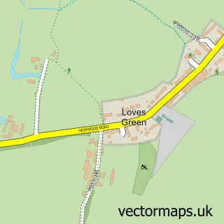
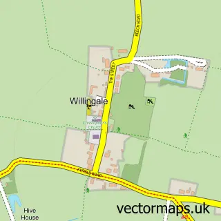
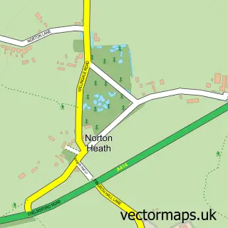
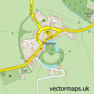
Nearby street map samples around Roxwell

More street maps in Essex
750 metre map area coverage
Boundary, postcode and point of interest information for the 750m x 750m rectangle centred on this sample map.
Boundaries containing map centre
Constituency: North West Essex Co Const
County: Essex County
District: Chelmsford District (B)
Icb: NHS Essex ICB
Parish: Roxwell CP
Police Force: essex
Postcode District: CM1
Postcode Sector: CM1 4
Ward: Chelmsford Rural West Ward
Nearby boundaries intersecting sample
No additional intersecting boundaries found.
Postcode coverage
POI category counts
Beauty Salon: 2
Photographer: 2
Anglican Church: 1
Auto Upholstery: 1
Automotive Repair: 1
Beauty And Spa: 1
Church Cathedral: 1
Elementary School: 1
Leather Goods: 1
Preschool: 1
Sample points of interest
- Roxwell: St Michael & All Angels
- T & M Upholstery
- Essex Motor Service Ltd.
- Sarah's Hair
- Flawlessly enhanced
- Honey by the Spray Tan Co
- St Michael and All Angels Church
- Roxwell Church of England Primary School
- Amanda Macleod - Cake Designer
- Blade Filming
- David Carter Photography
- Roxwell Pre-School
Create a larger editable map of Roxwell
This sample shows only a 750 metre area. To create a larger map of Roxwell, use our map builder to choose your own coverage area, add titles and download editable SVG, PDF and PNG files.
Create a custom map of Roxwell