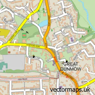
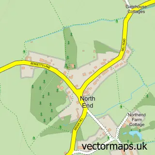
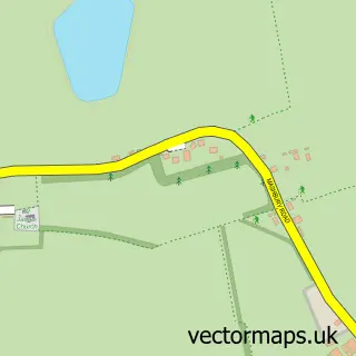
This Pleshey street map is a detailed vector street map covering a 750m x 750m area. Select a larger area to create and download your own vector street map of Pleshey.
The 750-metre map sample for Pleshey covers 98 mapped buildings and approximately 9.1 km of road detail, of which 6 named roads are named. The immediate area includes 1 pub and 1 MOT station within 2 miles. The wider area around Pleshey features 1 tourism point of interest and 1 food and drink venue. To create a larger or custom map of Pleshey, the map builder lets you define your own coverage area and download editable SVG, PDF and PNG files.
Create a larger editable map of Pleshey
Choose any area you need and generate a high-quality vector map instantly. Perfect for print, planning, design, business and personal use.

This Pleshey street map in Essex is available as downloadable SVG, PDF and PNG map files, or as a printed map for planning, business, display, education, local information and design work. You can also create a larger custom map area using the map selector.
What this Pleshey map sample shows
Pleshey lies within Pleshey Cp parish, part of Chelmsford Rural West ward in the Chelmsford District (B) local authority area. The postcode geography for this area includes the CM postcode area, the CM3 postcode district and the CM3 1 postcode sector. Residents fall under the Nhs Mid And South Essex Integrated Care Board for NHS services.
Local features near Pleshey
Within 2 milesAmenities and services in and around Pleshey.
Administrative and postcode information for Pleshey
The local authority covering Pleshey is Chelmsford District (B), within the county of Essex. The settlement lies within Chelmsford Rural West ward and Pleshey Cp civil parish. The CM3 postcode district and CM3 1 postcode sector serve the immediate area. NHS provision in the area is delivered through Mid And South Essex Nhs Foundation Trust.
Nearby street map samples around Pleshey

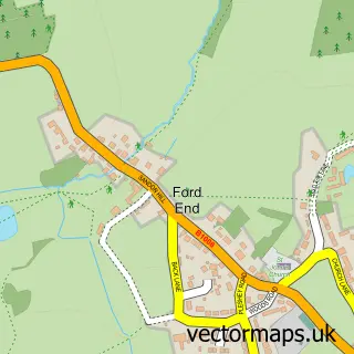
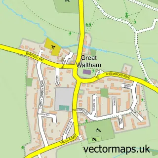
More street maps in Essex
750 metre map area coverage
Boundary, postcode and point of interest information for the 750m x 750m rectangle centred on this sample map.
Boundaries containing map centre
Constituency: North West Essex Co Const
County: Essex County
District: Chelmsford District (B)
Icb: NHS Essex ICB
Parish: Pleshey CP
Police Force: essex
Postcode District: CM3
Postcode Sector: CM3 1
Ward: Chelmsford Rural West Ward
Nearby boundaries intersecting sample
No additional intersecting boundaries found.
Postcode coverage
POI category counts
Bed And Breakfast: 1
Castle: 1
Church Cathedral: 1
Community Center: 1
Driving School: 1
Fitness Trainer: 1
Flowers And Gifts Shop: 1
Gardener: 1
Professional Services: 1
Pub: 1
Sample points of interest
- Acreland Green B & B
- Pleshey Castle
- Holy Trinity Church, Pleshey
- Pleshey Village Hall
- Innov8 Driving School - Rupert
- Russell Personal Trainer & Exercise Science
- Clouds and Currents
- Wynne-Williams Associates
- Stockcheck
- The Leather Bottle
- The Retreat House, Pleshey
- Pleshey Tennis Club
Create a larger editable map of Pleshey
This sample shows only a 750 metre area. To create a larger map of Pleshey, use our map builder to choose your own coverage area, add titles and download editable SVG, PDF and PNG files.
Create a custom map of Pleshey