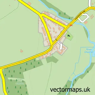
This Ford End street map is a detailed vector street map covering a 750m x 750m area. Select a larger area to create and download your own vector street map of Ford End.
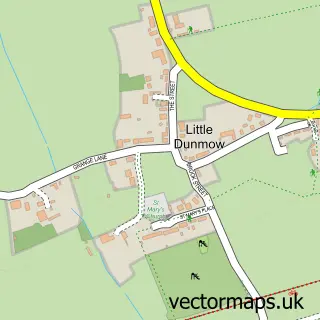
The 750-metre map sample for Ford End covers 147 mapped buildings and approximately 6.9 km of road detail, of which 7 named roads are named. The immediate area includes 1 MOT station within 2 miles. To create a larger or custom map of Ford End, the map builder lets you define your own coverage area and download editable SVG, PDF and PNG files.
Create a larger editable map of Ford End
Choose any area you need and generate a high-quality vector map instantly. Perfect for print, planning, design, business and personal use.

This Ford End street map in Essex is available as downloadable SVG, PDF and PNG map files, or as a printed map for planning, business, display, education, local information and design work. You can also create a larger custom map area using the map selector.
What this Ford End map sample shows
Ford End lies within Great Waltham Cp parish, part of Broomfield And The Walthams ward in the Chelmsford District (B) local authority area. The postcode geography for this area includes the CM postcode area, the CM3 postcode district and the CM3 1 postcode sector. Residents fall under the Nhs Mid And South Essex Integrated Care Board for NHS services.
Local features near Ford End
Within 2 milesAmenities and services in and around Ford End.
Administrative and postcode information for Ford End
Ford End lies within Great Waltham Cp parish, part of Broomfield And The Walthams ward in the Chelmsford District (B) local authority area. The postcode geography for this area includes the CM postcode area, the CM3 postcode district and the CM3 1 postcode sector. Residents fall under the Nhs Mid And South Essex Integrated Care Board for NHS services.
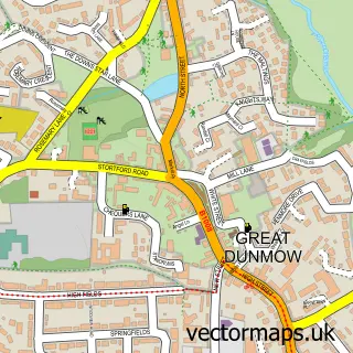
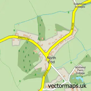
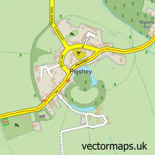
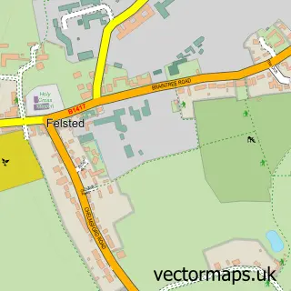
Nearby street map samples around Ford End

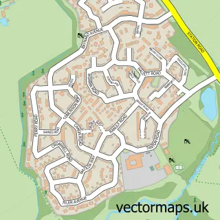
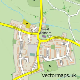
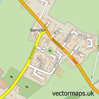
More street maps in Essex
750 metre map area coverage
Boundary, postcode and point of interest information for the 750m x 750m rectangle centred on this sample map.
Boundaries containing map centre
Constituency: North West Essex Co Const
County: Essex County
District: Chelmsford District (B)
Icb: NHS Essex ICB
Parish: Great Waltham CP
Police Force: essex
Postcode District: CM3
Postcode Sector: CM3 1
Ward: Broomfield and The Walthams Ward
Nearby boundaries intersecting sample
No additional intersecting boundaries found.
Postcode coverage
POI category counts
Contractor: 2
Education: 2
Advertising Agency: 1
Anglican Church: 1
Business To Business: 1
Church Cathedral: 1
Community Services Non Profits: 1
Dog Park: 1
Elementary School: 1
Engineering Services: 1
Sample points of interest
- SEO Agency Essex
- Ford End: St John the Evangelist
- Forwell Glazing
- Church of St John the Evangelist, Ford End
- InterAct
- Connaught Access Flooring
- Soil Investigation Eastern
- Lawn Pasture Dog Field
- Advanced Rework Technology
- Lilac Sky Schools
- Ford End C of E Primary School
- G.D. Culpin Vintage & Motor Engineering Co.
Create a larger editable map of Ford End
This sample shows only a 750 metre area. To create a larger map of Ford End, use our map builder to choose your own coverage area, add titles and download editable SVG, PDF and PNG files.
Create a custom map of Ford End