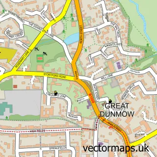
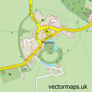
This Flitch Green street map is a detailed vector street map covering a 750m x 750m area. Select a larger area to create and download your own vector street map of Flitch Green.
The 750-metre map sample for Flitch Green covers 483 mapped buildings and approximately 12.8 km of road detail, of which 26 named roads are named. The immediate area includes 1 school and 3 MOT stations within 2 miles. To create a larger or custom map of Flitch Green, the map builder lets you define your own coverage area and download editable SVG, PDF and PNG files.
Create a larger editable map of Flitch Green
Choose any area you need and generate a high-quality vector map instantly. Perfect for print, planning, design, business and personal use.

This Flitch Green street map in Essex is available as downloadable SVG, PDF and PNG map files, or as a printed map for planning, business, display, education, local information and design work. You can also create a larger custom map area using the map selector.
What this Flitch Green map sample shows
Flitch Green lies within Little Dunmow Cp parish, part of Flitch Green & Little Dunmow ward in the Uttlesford District local authority area. The postcode geography for this area includes the CM postcode area, the CM6 postcode district and the CM6 3 postcode sector. Residents fall under the Nhs Hertfordshire And West Essex Integrated Care Board for NHS services.
Local features near Flitch Green
Within 2 milesAmenities and services in and around Flitch Green.
Administrative and postcode information for Flitch Green
The local authority covering Flitch Green is Uttlesford District, within the county of Essex. The settlement lies within Flitch Green & Little Dunmow ward and Little Dunmow Cp civil parish. The CM6 postcode district and CM6 3 postcode sector serve the immediate area. NHS provision in the area is delivered through Mid And South Essex Nhs Foundation Trust.
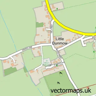
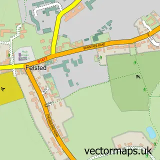
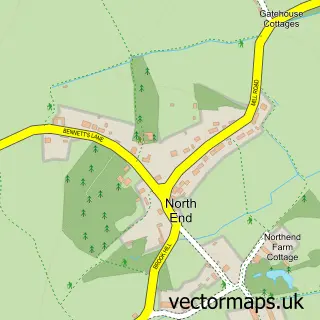
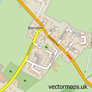
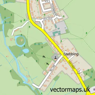
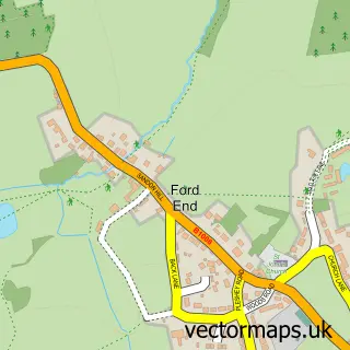
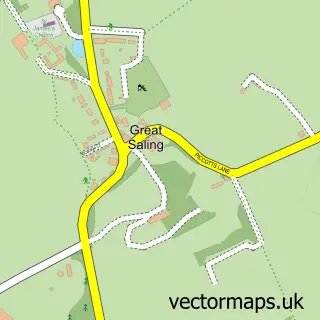
Nearby street map samples around Flitch Green

More street maps in Essex
750 metre map area coverage
Boundary, postcode and point of interest information for the 750m x 750m rectangle centred on this sample map.
Boundaries containing map centre
Constituency: North West Essex Co Const
County: Essex County
District: Uttlesford District
Icb: NHS Central East ICB
Parish: Flitch Green CP
Police Force: essex
Postcode District: CM6
Postcode Sector: CM6 3
Ward: Flitch Green & Little Dunmow Ward
Nearby boundaries intersecting sample
Constituency: Braintree Co Const
District: Chelmsford District (B)
Icb: NHS Essex ICB
Parish: Felsted CP, Great Waltham CP, Little Dunmow CP
Ward: Broomfield and The Walthams Ward, Felsted & Stebbing Ward
Postcode coverage
POI category counts
Building Supply Store: 3
Web Designer: 3
Real Estate Agent: 2
Advertising Agency: 1
American Restaurant: 1
Bagel Shop: 1
Bathroom Remodeling: 1
Caterer: 1
Cinema: 1
Clothing Store: 1
Sample points of interest
- Create Marketing Communications
- Angel and Harp Pub
- The Little Bagel Box
- Chigwell Bathroom Services
- C S P
- Essex Maintenance
- UK Decking and Fencing
- Trott & Whinny Ltd
- Braintree Cineworld Cinema
- Pleasure Express
- Flitch Green Community Hall
- Co-op
Create a larger editable map of Flitch Green
This sample shows only a 750 metre area. To create a larger map of Flitch Green, use our map builder to choose your own coverage area, add titles and download editable SVG, PDF and PNG files.
Create a custom map of Flitch Green