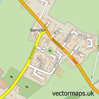
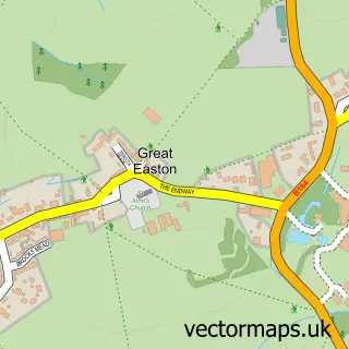
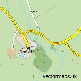
This Great Dunmow street map is a detailed vector street map covering a 750m x 750m area. Select a larger area to create and download your own vector street map of Great Dunmow.
The 750-metre map sample for Great Dunmow covers 565 mapped buildings and approximately 16.5 km of road detail, of which 41 named roads are named. The immediate area includes 2 GP surgeries, 3 pubs and 4 MOT stations within 2 miles. The wider area around Great Dunmow features 2 tourism points of interest, 16 food and drink venues and 3 hotels. To create a larger or custom map of Great Dunmow, the map builder lets you define your own coverage area and download editable SVG, PDF and PNG files.
Create a larger editable map of Great Dunmow
Choose any area you need and generate a high-quality vector map instantly. Perfect for print, planning, design, business and personal use.

This Great Dunmow street map in Essex is available as downloadable SVG, PDF and PNG map files, or as a printed map for planning, business, display, education, local information and design work. You can also create a larger custom map area using the map selector.
What this Great Dunmow map sample shows
Great Dunmow lies within Great Dunmow Cp parish, part of Great Dunmow South & Barnston ward in the Uttlesford District local authority area. The postcode geography for this area includes the CM postcode area, the CM6 postcode district and the CM6 1 postcode sector. Residents fall under the Nhs Hertfordshire And West Essex Integrated Care Board for NHS services.
Local features near Great Dunmow
Within 2 milesAmenities and services in and around Great Dunmow.
Administrative and postcode information for Great Dunmow
The local authority covering Great Dunmow is Uttlesford District, within the county of Essex. The settlement lies within Great Dunmow South & Barnston ward and Great Dunmow Cp civil parish. The CM6 postcode district and CM6 1 postcode sector serve the immediate area. NHS provision in the area is delivered through Mid And South Essex Nhs Foundation Trust.
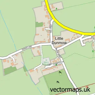
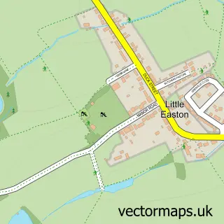
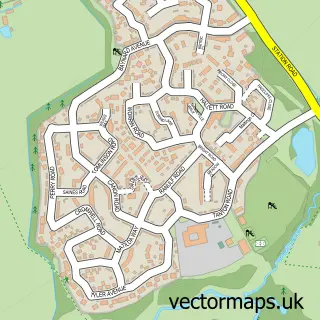
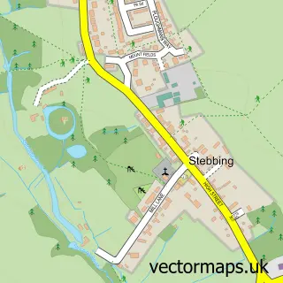
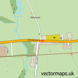
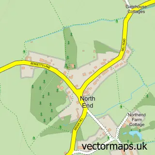
Nearby street map samples around Great Dunmow

More street maps in Essex
750 metre map area coverage
Boundary, postcode and point of interest information for the 750m x 750m rectangle centred on this sample map.
Boundaries containing map centre
Constituency: North West Essex Co Const
County: Essex County
District: Uttlesford District
Icb: NHS Central East ICB
Parish: Great Dunmow CP
Police Force: essex
Postcode District: CM6
Postcode Sector: CM6 1
Ward: Great Dunmow South & Barnston Ward
Nearby boundaries intersecting sample
Postcode Sector: CM6 2, CM6 3
Ward: Great Dunmow North Ward
Postcode coverage
POI category counts
Beauty Salon: 9
Hair Salon: 8
Professional Services: 8
Doctor: 7
Gym: 7
Coffee Shop: 6
Travel Services: 6
Clothing Store: 5
Community Center: 5
Dentist: 5
Sample points of interest
- Compaccs Accountancy Services
- Forbes Chartered Accountants
- TaxAssist Accountants
- Walters and Company
- I D A Advertising Ltd.
- I.D.A. Advertising Ltd.
- IDA Advertising
- Partners By Design Ltd
- RSPCA
- Tanoshii
- The Cooperative Food (BF) Dunmow
- Genesis Financial Services
Create a larger editable map of Great Dunmow
This sample shows only a 750 metre area. To create a larger map of Great Dunmow, use our map builder to choose your own coverage area, add titles and download editable SVG, PDF and PNG files.
Create a custom map of Great Dunmow