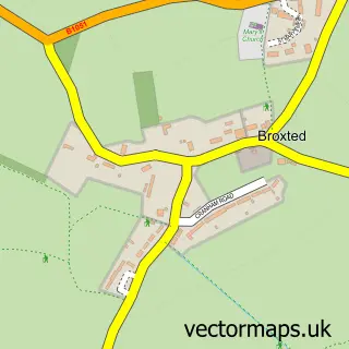
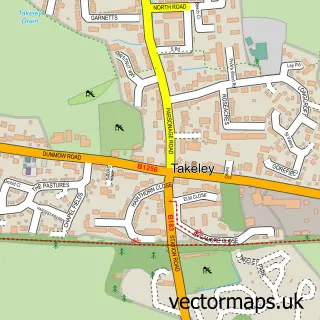
This Little Easton street map is a detailed vector street map covering a 750m x 750m area. Select a larger area to create and download your own vector street map of Little Easton.
The 750-metre map sample for Little Easton covers 141 mapped buildings and approximately 5.0 km of road detail, of which 4 named roads are named. The immediate area includes 1 GP surgery within 2 miles and 1 pub. The wider area around Little Easton features 1 food and drink venue. To create a larger or custom map of Little Easton, the map builder lets you define your own coverage area and download editable SVG, PDF and PNG files.
Create a larger editable map of Little Easton
Choose any area you need and generate a high-quality vector map instantly. Perfect for print, planning, design, business and personal use.

This Little Easton street map in Essex is available as downloadable SVG, PDF and PNG map files, or as a printed map for planning, business, display, education, local information and design work. You can also create a larger custom map area using the map selector.
What this Little Easton map sample shows
Little Easton lies within Little Easton Cp parish, part of Thaxted & The Eastons ward in the Uttlesford District local authority area. The postcode geography for this area includes the CM postcode area, the CM6 postcode district and the CM6 2 postcode sector. Residents fall under the Nhs Hertfordshire And West Essex Integrated Care Board for NHS services.
Local features near Little Easton
Within 2 milesAmenities and services in and around Little Easton.
Administrative and postcode information for Little Easton
The local authority covering Little Easton is Uttlesford District, within the county of Essex. The settlement lies within Thaxted & The Eastons ward and Little Easton Cp civil parish. The CM6 postcode district and CM6 2 postcode sector serve the immediate area. NHS provision in the area is delivered through The Princess Alexandra Hospital Nhs Trust.
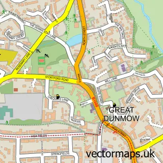
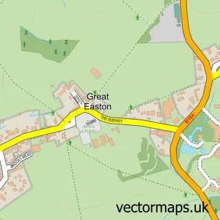
Nearby street map samples around Little Easton

More street maps in Essex
750 metre map area coverage
Boundary, postcode and point of interest information for the 750m x 750m rectangle centred on this sample map.
Boundaries containing map centre
Constituency: North West Essex Co Const
County: Essex County
District: Uttlesford District
Icb: NHS Central East ICB
Parish: Little Easton CP
Police Force: essex
Postcode District: CM6
Postcode Sector: CM6 2
Ward: Thaxted & the Eastons Ward
Nearby boundaries intersecting sample
Parish: Great Easton CP
Postcode coverage
POI category counts
Web Designer: 2
Community Services Non Profits: 1
Counseling And Mental Health: 1
Forestry Service: 1
Information Technology Company: 1
Pub: 1
Sample points of interest
- Little Easton Memorial Hall
- Ken Day Therapeutic Counselling
- Annirac
- Activ Web Design - Dunmow, Braintree And Saffron Walden
- The Stag Inn Little Easton
- S M Design
- activ Digital Marketing North Essex (Activ Web Design)
Create a larger editable map of Little Easton
This sample shows only a 750 metre area. To create a larger map of Little Easton, use our map builder to choose your own coverage area, add titles and download editable SVG, PDF and PNG files.
Create a custom map of Little Easton