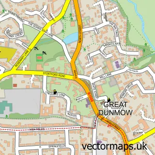
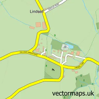
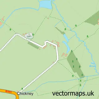
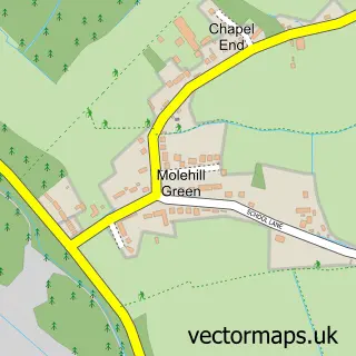
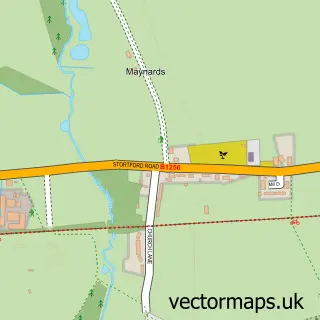
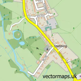
This Great Easton street map is a detailed vector street map covering a 750m x 750m area. Select a larger area to create and download your own vector street map of Great Easton.
The 750-metre map sample for Great Easton covers 138 mapped buildings and approximately 8.3 km of road detail, of which 3 named roads are named. The immediate area includes 1 school. The wider area around Great Easton features 1 tourism point of interest and 1 hotel. To create a larger or custom map of Great Easton, the map builder lets you define your own coverage area and download editable SVG, PDF and PNG files.
Create a larger editable map of Great Easton
Choose any area you need and generate a high-quality vector map instantly. Perfect for print, planning, design, business and personal use.

This Great Easton street map in Essex is available as downloadable SVG, PDF and PNG map files, or as a printed map for planning, business, display, education, local information and design work. You can also create a larger custom map area using the map selector.
What this Great Easton map sample shows
Great Easton lies within Great Easton Cp parish, part of Thaxted & The Eastons ward in the Uttlesford District local authority area. The postcode geography for this area includes the CM postcode area, the CM6 postcode district and the CM6 2 postcode sector. Residents fall under the Nhs Hertfordshire And West Essex Integrated Care Board for NHS services.
Local features near Great Easton
Within 2 milesAmenities and services in and around Great Easton.
Administrative and postcode information for Great Easton
Great Easton lies within Great Easton Cp parish, part of Thaxted & The Eastons ward in the Uttlesford District local authority area. The postcode geography for this area includes the CM postcode area, the CM6 postcode district and the CM6 2 postcode sector. Residents fall under the Nhs Hertfordshire And West Essex Integrated Care Board for NHS services.
Nearby street map samples around Great Easton

More street maps in Essex
750 metre map area coverage
Boundary, postcode and point of interest information for the 750m x 750m rectangle centred on this sample map.
Boundaries containing map centre
Constituency: North West Essex Co Const
County: Essex County
District: Uttlesford District
Icb: NHS Central East ICB
Parish: Great Easton CP
Police Force: essex
Postcode District: CM6
Postcode Sector: CM6 2
Ward: Thaxted & the Eastons Ward
Nearby boundaries intersecting sample
No additional intersecting boundaries found.
Postcode coverage
POI category counts
Assisted Living Facility: 3
Landscape Architect: 2
Anglican Church: 1
Automotive Repair: 1
Bakery: 1
Building Supply Store: 1
Car Dealer: 1
Dog Walkers: 1
Education: 1
Elementary School: 1
Sample points of interest
- Great Easton: St John & St Giles Church
- Moat Park
- RV Extra Care
- The Moat House
- Rolls-Royce Motor cars Essex
- Telara's Bakery
- Rosendales Heating & Plumbing
- P&A Wood Bentley
- Take The Lead Dunmow
- Chiltern Development Training Ltd.
- Great Easton Primary School
- The Swan Inn
Create a larger editable map of Great Easton
This sample shows only a 750 metre area. To create a larger map of Great Easton, use our map builder to choose your own coverage area, add titles and download editable SVG, PDF and PNG files.
Create a custom map of Great Easton