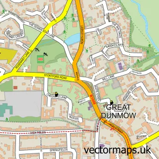
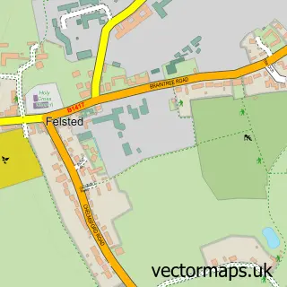
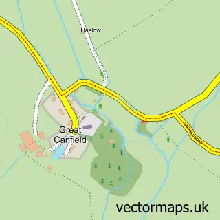
This Barnston street map is a detailed vector street map covering a 750m x 750m area. Select a larger area to create and download your own vector street map of Barnston.
The 750-metre map sample for Barnston covers 236 mapped buildings and approximately 8.2 km of road detail, of which 12 named roads are named. The immediate area includes 2 GP surgeries within 2 miles and 4 MOT stations within 2 miles. The wider area around Barnston features 1 hotel. To create a larger or custom map of Barnston, the map builder lets you define your own coverage area and download editable SVG, PDF and PNG files.
Create a larger editable map of Barnston
Choose any area you need and generate a high-quality vector map instantly. Perfect for print, planning, design, business and personal use.

This Barnston street map in Essex is available as downloadable SVG, PDF and PNG map files, or as a printed map for planning, business, display, education, local information and design work. You can also create a larger custom map area using the map selector.
What this Barnston map sample shows
Barnston lies within Barnston Cp parish, part of Great Dunmow South & Barnston ward in the Uttlesford District local authority area. The postcode geography for this area includes the CM postcode area, the CM6 postcode district and the CM6 3 postcode sector. Residents fall under the Nhs Hertfordshire And West Essex Integrated Care Board for NHS services.
Local features near Barnston
Within 2 milesAmenities and services in and around Barnston.
Administrative and postcode information for Barnston
Barnston lies within Barnston Cp parish, part of Great Dunmow South & Barnston ward in the Uttlesford District local authority area. The postcode geography for this area includes the CM postcode area, the CM6 postcode district and the CM6 3 postcode sector. Residents fall under the Nhs Hertfordshire And West Essex Integrated Care Board for NHS services.
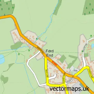
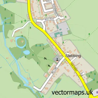
Nearby street map samples around Barnston

More street maps in Essex
750 metre map area coverage
Boundary, postcode and point of interest information for the 750m x 750m rectangle centred on this sample map.
Boundaries containing map centre
Constituency: North West Essex Co Const
County: Essex County
District: Uttlesford District
Icb: NHS Central East ICB
Parish: Barnston CP
Police Force: essex
Postcode District: CM6
Postcode Sector: CM6 1
Ward: Great Dunmow South & Barnston Ward
Nearby boundaries intersecting sample
Parish: Great Dunmow CP
Postcode Sector: CM6 3
Postcode coverage
POI category counts
Contractor: 3
Gym: 2
Automotive Repair: 1
Building Supply Store: 1
Business To Business: 1
Car Wash: 1
Carpet Cleaning: 1
Community Center: 1
Dance School: 1
Dj Service: 1
Sample points of interest
- Tyremart Services
- MM Plumbing Heating & Property Services Ltd
- Hospitality A V
- Fresh Car Stevenage
- Sunrise Specialist Cleaning Services
- Barnston Village Hall
- AGM Construction
- Austin Powell-Allen Property & Garden Maintenance
- Capital Building & Maintenance
- Marcelle School of Dancing
- Sweet Vibe Events
- Beyond Bar Hire
Create a larger editable map of Barnston
This sample shows only a 750 metre area. To create a larger map of Barnston, use our map builder to choose your own coverage area, add titles and download editable SVG, PDF and PNG files.
Create a custom map of Barnston