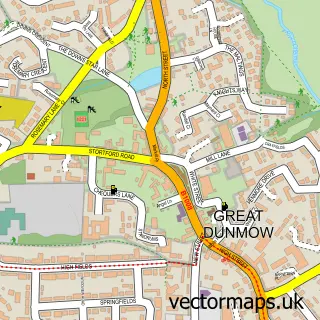
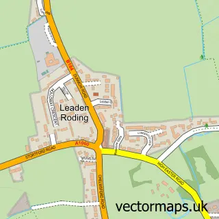
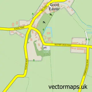
This High Roding street map is a detailed vector street map covering a 750m x 750m area. Select a larger area to create and download your own vector street map of High Roding.
The 750-metre map sample for High Roding covers 135 mapped buildings and approximately 4.4 km of road detail, of which 4 named roads are named. The immediate area includes 1 pub. The wider area around High Roding features 1 food and drink venue. To create a larger or custom map of High Roding, the map builder lets you define your own coverage area and download editable SVG, PDF and PNG files.
Create a larger editable map of High Roding
Choose any area you need and generate a high-quality vector map instantly. Perfect for print, planning, design, business and personal use.

This High Roding street map in Essex is available as downloadable SVG, PDF and PNG map files, or as a printed map for planning, business, display, education, local information and design work. You can also create a larger custom map area using the map selector.
What this High Roding map sample shows
High Roding lies within High Roothing Cp parish, part of High Easter & The Rodings ward in the Uttlesford District local authority area. The postcode geography for this area includes the CM postcode area, the CM6 postcode district and the CM6 1 postcode sector. Residents fall under the Nhs Hertfordshire And West Essex Integrated Care Board for NHS services.
Local features near High Roding
Within 2 milesAmenities and services in and around High Roding.
Administrative and postcode information for High Roding
The local authority covering High Roding is Uttlesford District, within the county of Essex. The settlement lies within High Easter & The Rodings ward and High Roothing Cp civil parish. The CM6 postcode district and CM6 1 postcode sector serve the immediate area. NHS provision in the area is delivered through The Princess Alexandra Hospital Nhs Trust.
Nearby street map samples around High Roding

More street maps in Essex
750 metre map area coverage
Boundary, postcode and point of interest information for the 750m x 750m rectangle centred on this sample map.
Boundaries containing map centre
Constituency: North West Essex Co Const
County: Essex County
District: Uttlesford District
Icb: NHS Central East ICB
Parish: High Roothing CP
Police Force: essex
Postcode District: CM6
Postcode Sector: CM6 1
Ward: High Easter & the Rodings Ward
Nearby boundaries intersecting sample
No additional intersecting boundaries found.
Postcode coverage
POI category counts
Auto Loan Provider: 1
Beauty Salon: 1
Contractor: 1
Event Technology Service: 1
Horse Boarding: 1
It Service And Computer Repair: 1
Movie Television Studio: 1
Parking: 1
Pet Services: 1
Pub: 1
Sample points of interest
- Morris & Co
- Rosewood Beauty Rooms
- Dynamic Ceramics
- T K Tiffin
- Bliss livery
- Avatar UK
- All Star Films
- The Little Van Co
- The Rug Shack
- The Black Lion
- Recycling Your IT
- Man With Large Van
Create a larger editable map of High Roding
This sample shows only a 750 metre area. To create a larger map of High Roding, use our map builder to choose your own coverage area, add titles and download editable SVG, PDF and PNG files.
Create a custom map of High Roding