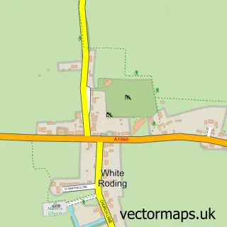
This Leaden Roding street map is a detailed vector street map covering a 750m x 750m area. Select a larger area to create and download your own vector street map of Leaden Roding.
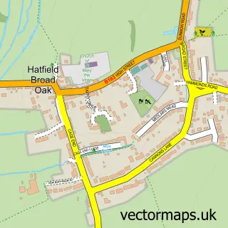
The 750-metre map sample for Leaden Roding covers 173 mapped buildings and approximately 11.8 km of road detail, of which 11 named roads are named. The immediate area includes 1 school. To create a larger or custom map of Leaden Roding, the map builder lets you define your own coverage area and download editable SVG, PDF and PNG files.
Create a larger editable map of Leaden Roding
Choose any area you need and generate a high-quality vector map instantly. Perfect for print, planning, design, business and personal use.

This Leaden Roding street map in Essex is available as downloadable SVG, PDF and PNG map files, or as a printed map for planning, business, display, education, local information and design work. You can also create a larger custom map area using the map selector.
What this Leaden Roding map sample shows
Leaden Roding lies within Leaden Roding Cp parish, part of High Easter & The Rodings ward in the Uttlesford District local authority area. The postcode geography for this area includes the CM postcode area, the CM6 postcode district and the CM6 1 postcode sector. Residents fall under the Nhs Hertfordshire And West Essex Integrated Care Board for NHS services.
Local features near Leaden Roding
Within 2 milesAmenities and services in and around Leaden Roding.
Administrative and postcode information for Leaden Roding
Leaden Roding lies within Leaden Roding Cp parish, part of High Easter & The Rodings ward in the Uttlesford District local authority area. The postcode geography for this area includes the CM postcode area, the CM6 postcode district and the CM6 1 postcode sector. Residents fall under the Nhs Hertfordshire And West Essex Integrated Care Board for NHS services.
Nearby street map samples around Leaden Roding
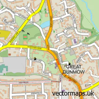

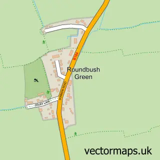
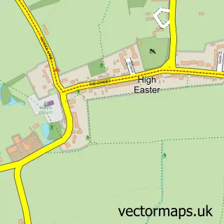
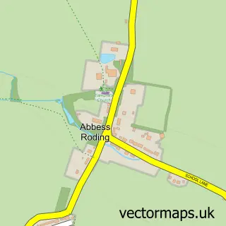
More street maps in Essex
750 metre map area coverage
Boundary, postcode and point of interest information for the 750m x 750m rectangle centred on this sample map.
Boundaries containing map centre
Constituency: North West Essex Co Const
County: Essex County
District: Uttlesford District
Icb: NHS Central East ICB
Parish: Leaden Roding CP
Police Force: essex
Postcode District: CM6
Postcode Sector: CM6 1
Ward: High Easter & the Rodings Ward
Nearby boundaries intersecting sample
Parish: Aythorpe Roding CP
Postcode coverage
POI category counts
Auto Body Shop: 2
Party Equipment Rental: 2
Airline: 1
Building Supply Store: 1
Doctor: 1
Dog Walkers: 1
Elementary School: 1
Event Planning: 1
Home Service: 1
Janitorial Services: 1
Sample points of interest
- Skysmart Mro Ltd
- Chills Bodyworks
- Crossways Autos Coachworks
- Ddhcs
- Dunmow Private Medical Clinic
- Hudson's Hounds
- Rodings Primary School
- Leaden Roding Village Hall
- Jam Childcare
- Mid Essex Pest Control
- Arena Event Hire
- MHC Events Ltd.
Create a larger editable map of Leaden Roding
This sample shows only a 750 metre area. To create a larger map of Leaden Roding, use our map builder to choose your own coverage area, add titles and download editable SVG, PDF and PNG files.
Create a custom map of Leaden Roding