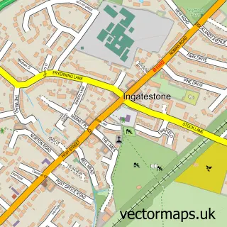
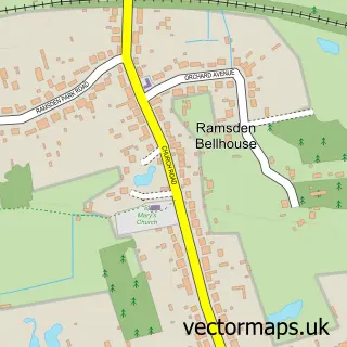
This Stock street map is a detailed vector street map covering a 750m x 750m area. Select a larger area to create and download your own vector street map of Stock.
The 750-metre map sample for Stock covers 309 mapped buildings and approximately 13.1 km of road detail, of which 21 named roads are named. The immediate area includes 1 school and 1 GP surgery within 2 miles. The wider area around Stock features 1 food and drink venue and 1 hotel. To create a larger or custom map of Stock, the map builder lets you define your own coverage area and download editable SVG, PDF and PNG files.
Create a larger editable map of Stock
Choose any area you need and generate a high-quality vector map instantly. Perfect for print, planning, design, business and personal use.

This Stock street map in Essex is available as downloadable SVG, PDF and PNG map files, or as a printed map for planning, business, display, education, local information and design work. You can also create a larger custom map area using the map selector.
What this Stock map sample shows
Stock lies within Stock Cp parish, part of South Hanningfield, Stock And Margaretting ward in the Chelmsford District (B) local authority area. The postcode geography for this area includes the CM postcode area, the CM4 postcode district and the CM4 9 postcode sector. Residents fall under the Nhs Mid And South Essex Integrated Care Board for NHS services.
Local features near Stock
Within 2 milesAmenities and services in and around Stock.
Administrative and postcode information for Stock
Stock lies within Stock Cp parish, part of South Hanningfield, Stock And Margaretting ward in the Chelmsford District (B) local authority area. The postcode geography for this area includes the CM postcode area, the CM4 postcode district and the CM4 9 postcode sector. Residents fall under the Nhs Mid And South Essex Integrated Care Board for NHS services.
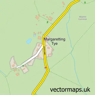
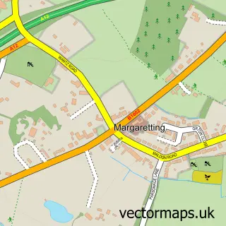
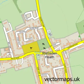
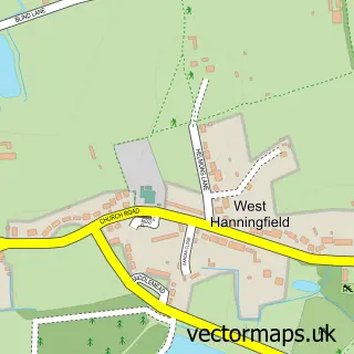
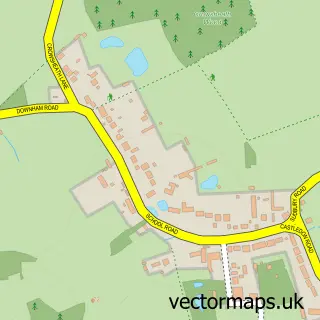
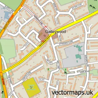
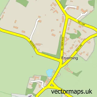
Nearby street map samples around Stock

More street maps in Essex
750 metre map area coverage
Boundary, postcode and point of interest information for the 750m x 750m rectangle centred on this sample map.
Boundaries containing map centre
Constituency: Maldon Co Const
County: Essex County
District: Chelmsford District (B)
Icb: NHS Essex ICB
Parish: Stock CP
Police Force: essex
Postcode District: CM4
Postcode Sector: CM4 9
Ward: South Hanningfield, Stock and Margaretting Ward
Nearby boundaries intersecting sample
No additional intersecting boundaries found.
Postcode coverage
POI category counts
Convenience Store: 3
Anglican Church: 2
Beauty Salon: 2
Contractor: 2
Elementary School: 2
Gastropub: 2
Rental Kiosks: 2
Bakery: 1
Beauty And Spa: 1
British Restaurant: 1
Sample points of interest
- All Saints Church
- Stock Harvard: All Saints, Stock, Essex, CM4 9BU
- Melanie Ferris Cakes
- D&T Nails Spa
- Edward Taylor Hair
- Flash Lash Artist
- Ellis's Restaurant
- TKS Trade Sourcing
- Ace of Diamonds Fun Casinos Ltd
- Our Lady and St Joseph
- Christ Church
- Stock and Buttsbury Heritage Society
Create a larger editable map of Stock
This sample shows only a 750 metre area. To create a larger map of Stock, use our map builder to choose your own coverage area, add titles and download editable SVG, PDF and PNG files.
Create a custom map of Stock