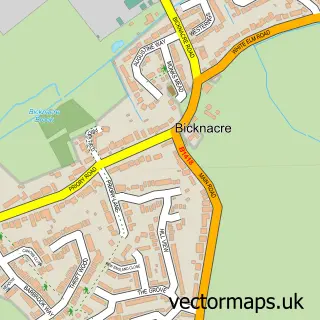
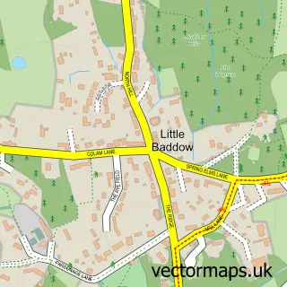
This Howe Green street map is a detailed vector street map covering a 750m x 750m area. Select a larger area to create and download your own vector street map of Howe Green.
The 750-metre map sample for Howe Green covers 236 mapped buildings and approximately 7.4 km of road detail, of which 7 named roads are named. The immediate area includes 1 GP surgery within 2 miles and 2 MOT stations within 2 miles. To create a larger or custom map of Howe Green, the map builder lets you define your own coverage area and download editable SVG, PDF and PNG files.
Create a larger editable map of Howe Green
Choose any area you need and generate a high-quality vector map instantly. Perfect for print, planning, design, business and personal use.

This Howe Green street map in Essex is available as downloadable SVG, PDF and PNG map files, or as a printed map for planning, business, display, education, local information and design work. You can also create a larger custom map area using the map selector.
What this Howe Green map sample shows
Howe Green lies within Sandon Cp parish, part of Little Baddow, Danbury And Sandon ward in the Chelmsford District (B) local authority area. The postcode geography for this area includes the CM postcode area, the CM2 postcode district and the CM2 7 postcode sector. Residents fall under the Nhs Mid And South Essex Integrated Care Board for NHS services.
Local features near Howe Green
Within 2 milesAmenities and services in and around Howe Green.
Administrative and postcode information for Howe Green
The local authority covering Howe Green is Chelmsford District (B), within the county of Essex. The settlement lies within Little Baddow, Danbury And Sandon ward and Sandon Cp civil parish. The CM2 postcode district and CM2 7 postcode sector serve the immediate area. NHS provision in the area is delivered through Mid And South Essex Nhs Foundation Trust.
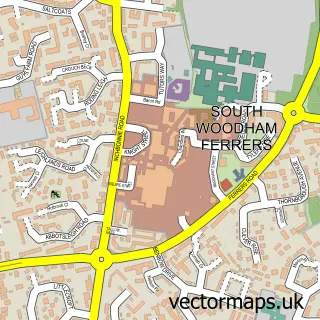
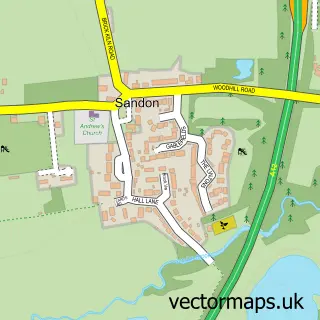
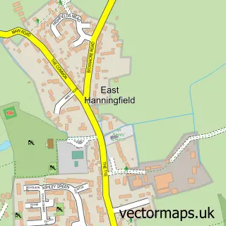
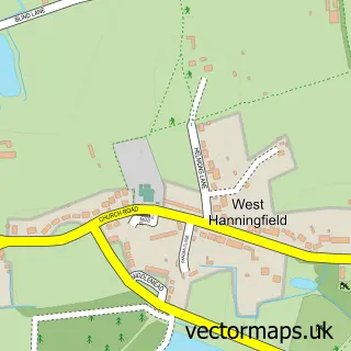
Nearby street map samples around Howe Green

More street maps in Essex
750 metre map area coverage
Boundary, postcode and point of interest information for the 750m x 750m rectangle centred on this sample map.
Boundaries containing map centre
Constituency: Maldon Co Const
County: Essex County
District: Chelmsford District (B)
Icb: NHS Essex ICB
Parish: Sandon CP
Police Force: essex
Postcode District: CM2
Postcode Sector: CM2 7
Ward: Little Baddow, Danbury and Sandon Ward
Nearby boundaries intersecting sample
Parish: Galleywood CP
Ward: Galleywood Ward
Postcode coverage
POI category counts
Building Supply Store: 1
Financial Service: 1
International Business And Trade Services: 1
Pet Services: 1
Sewing And Alterations: 1
Sample points of interest
- Loft Conversions Essex
- Amdark Limited
- Essex Loft Conversions
- Grooming By Maisie
- The Make It Room
Create a larger editable map of Howe Green
This sample shows only a 750 metre area. To create a larger map of Howe Green, use our map builder to choose your own coverage area, add titles and download editable SVG, PDF and PNG files.
Create a custom map of Howe Green