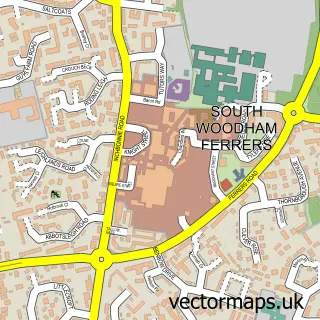
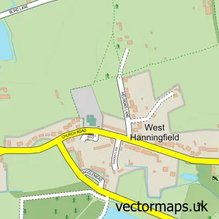
This Rettendon Common street map is a detailed vector street map covering a 750m x 750m area. Select a larger area to create and download your own vector street map of Rettendon Common.
The 750-metre map sample for Rettendon Common covers 161 mapped buildings and approximately 6.0 km of road detail, of which 5 named roads are named. The immediate area includes 1 pub and 2 MOT stations within 2 miles. The wider area around Rettendon Common features 1 tourism point of interest and 1 food and drink venue. To create a larger or custom map of Rettendon Common, the map builder lets you define your own coverage area and download editable SVG, PDF and PNG files.
Create a larger editable map of Rettendon Common
Choose any area you need and generate a high-quality vector map instantly. Perfect for print, planning, design, business and personal use.

This Rettendon Common street map in Essex is available as downloadable SVG, PDF and PNG map files, or as a printed map for planning, business, display, education, local information and design work. You can also create a larger custom map area using the map selector.
What this Rettendon Common map sample shows
Rettendon Common lies within Rettendon Cp parish, part of Rettendon And Runwell ward in the Chelmsford District (B) local authority area. The postcode geography for this area includes the CM postcode area, the CM3 postcode district and the CM3 8 postcode sector. Residents fall under the Nhs Mid And South Essex Integrated Care Board for NHS services.
Local features near Rettendon Common
Within 2 milesAmenities and services in and around Rettendon Common.
Administrative and postcode information for Rettendon Common
Rettendon Common lies within Rettendon Cp parish, part of Rettendon And Runwell ward in the Chelmsford District (B) local authority area. The postcode geography for this area includes the CM postcode area, the CM3 postcode district and the CM3 8 postcode sector. Residents fall under the Nhs Mid And South Essex Integrated Care Board for NHS services.
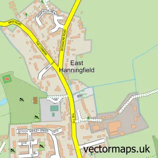
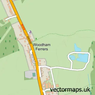
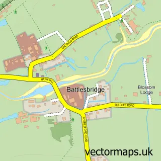
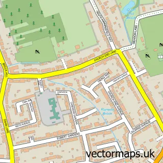
Nearby street map samples around Rettendon Common

More street maps in Essex
750 metre map area coverage
Boundary, postcode and point of interest information for the 750m x 750m rectangle centred on this sample map.
Boundaries containing map centre
Constituency: Maldon Co Const
County: Essex County
District: Chelmsford District (B)
Icb: NHS Essex ICB
Parish: Rettendon CP
Police Force: essex
Postcode District: CM3
Postcode Sector: CM3 8
Ward: Rettendon and Runwell Ward
Nearby boundaries intersecting sample
No additional intersecting boundaries found.
Postcode coverage
POI category counts
Antique Store: 3
Automotive Repair: 3
Carpet Store: 2
Day Care Preschool: 2
Retail: 2
Airport Shuttles: 1
Aquatic Pet Store: 1
Automotive Dealer: 1
Bar: 1
Building Supply Store: 1
Sample points of interest
- Burnetts Of Essex
- FB Antiques
- FB Antiques
- Rettendon Antique Centre
- Coralpassion.co.uk
- The WAV Man
- AJK Mechanical Engineering
- AutoRegs
- Romford caravans
- The Rettendon Bell
- Cannon Piling
- Trade Price Vans
Create a larger editable map of Rettendon Common
This sample shows only a 750 metre area. To create a larger map of Rettendon Common, use our map builder to choose your own coverage area, add titles and download editable SVG, PDF and PNG files.
Create a custom map of Rettendon Common