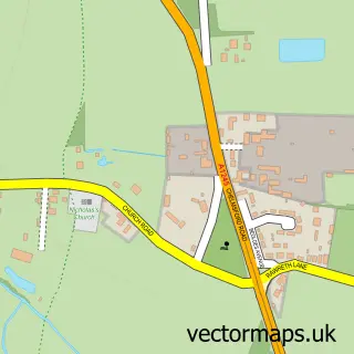
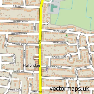
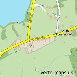
This Battlesbridge street map is a detailed vector street map covering a 750m x 750m area. Select a larger area to create and download your own vector street map of Battlesbridge.
The 750-metre map sample for Battlesbridge covers 149 mapped buildings and approximately 6.1 km of road detail, of which 4 named roads are named. The immediate area includes 2 GP surgeries within 2 miles, 2 pubs and 17 MOT stations within 2 miles. The wider area around Battlesbridge features 1 tourism point of interest and 4 food and drink venues. To create a larger or custom map of Battlesbridge, the map builder lets you define your own coverage area and download editable SVG, PDF and PNG files.
Create a larger editable map of Battlesbridge
Choose any area you need and generate a high-quality vector map instantly. Perfect for print, planning, design, business and personal use.

This Battlesbridge street map in Essex is available as downloadable SVG, PDF and PNG map files, or as a printed map for planning, business, display, education, local information and design work. You can also create a larger custom map area using the map selector.
What this Battlesbridge map sample shows
Battlesbridge lies within Rawreth Cp parish, part of Downhall And Rawreth ward in the Rochford District local authority area. The postcode geography for this area includes the SS postcode area, the SS11 postcode district and the SS11 8 postcode sector. Residents fall under the Nhs Mid And South Essex Integrated Care Board for NHS services.
Local features near Battlesbridge
Within 2 milesAmenities and services in and around Battlesbridge.
Administrative and postcode information for Battlesbridge
Battlesbridge lies within Rawreth Cp parish, part of Downhall And Rawreth ward in the Rochford District local authority area. The postcode geography for this area includes the SS postcode area, the SS11 postcode district and the SS11 8 postcode sector. Residents fall under the Nhs Mid And South Essex Integrated Care Board for NHS services.
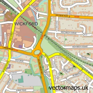
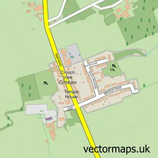
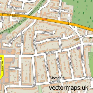
Nearby street map samples around Battlesbridge

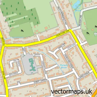
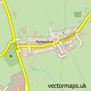
More street maps in Essex
750 metre map area coverage
Boundary, postcode and point of interest information for the 750m x 750m rectangle centred on this sample map.
Boundaries containing map centre
Constituency: Rayleigh and Wickford Co Const
County: Essex County
District: Rochford District
Icb: NHS Essex ICB
Parish: Rawreth CP
Police Force: essex
Postcode District: SS11
Postcode Sector: SS11 8
Ward: Downhall & Rawreth Ward
Nearby boundaries intersecting sample
Constituency: Maldon Co Const
District: Chelmsford District (B)
Parish: Rettendon CP
Postcode Sector: SS11 7
Ward: Rettendon and Runwell Ward
Postcode coverage
POI category counts
Antique Store: 17
Tea Room: 5
Building Supply Store: 3
Nursery And Gardening: 3
Beauty And Spa: 2
Boat Service And Repair: 2
Event Planning: 2
Pub: 2
Retail: 2
Shopping: 2
Sample points of interest
- Ramsden Flyball Team
- Artmosphere Antiques
- Bankside Antiques and Collectables
- Battlesbridge Antique Centre
- Battlesbridge Antiques Centre
- Bones lane antiques centre
- Buddha Bar Boutique
- Cactus Trading Company Ltd
- Clink Street Antiques Emporium
- Eclectic-a
- English Country Stores
- Flippin' Teak
Create a larger editable map of Battlesbridge
This sample shows only a 750 metre area. To create a larger map of Battlesbridge, use our map builder to choose your own coverage area, add titles and download editable SVG, PDF and PNG files.
Create a custom map of Battlesbridge