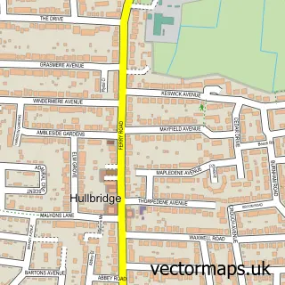
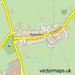
This Rawreth street map is a detailed vector street map covering a 750m x 750m area. Select a larger area to create and download your own vector street map of Rawreth.
The 750-metre map sample for Rawreth covers 110 mapped buildings and approximately 6.7 km of road detail, of which 4 named roads are named. The immediate area includes 4 GP surgeries within 2 miles and 1 MOT station, with 18 within 2 miles. To create a larger or custom map of Rawreth, the map builder lets you define your own coverage area and download editable SVG, PDF and PNG files.
Create a larger editable map of Rawreth
Choose any area you need and generate a high-quality vector map instantly. Perfect for print, planning, design, business and personal use.

This Rawreth street map in Essex is available as downloadable SVG, PDF and PNG map files, or as a printed map for planning, business, display, education, local information and design work. You can also create a larger custom map area using the map selector.
What this Rawreth map sample shows
Rawreth lies within Rawreth Cp parish, part of Downhall And Rawreth ward in the Rochford District local authority area. The postcode geography for this area includes the SS postcode area, the SS11 postcode district and the SS11 8 postcode sector. Residents fall under the Nhs Mid And South Essex Integrated Care Board for NHS services.
Local features near Rawreth
Within 2 milesAmenities and services in and around Rawreth.
Administrative and postcode information for Rawreth
The local authority covering Rawreth is Rochford District, within the county of Essex. The settlement lies within Downhall And Rawreth ward and Rawreth Cp civil parish. The SS11 postcode district and SS11 8 postcode sector serve the immediate area. NHS provision in the area is delivered through Mid And South Essex Nhs Foundation Trust.
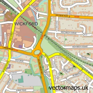
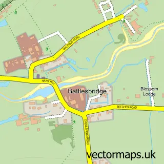
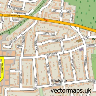
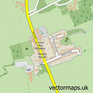
Nearby street map samples around Rawreth

More street maps in Essex
750 metre map area coverage
Boundary, postcode and point of interest information for the 750m x 750m rectangle centred on this sample map.
Boundaries containing map centre
Constituency: Rayleigh and Wickford Co Const
County: Essex County
District: Rochford District
Icb: NHS Essex ICB
Parish: Rawreth CP
Police Force: essex
Postcode District: SS11
Postcode Sector: SS11 8
Ward: Downhall & Rawreth Ward
Nearby boundaries intersecting sample
No additional intersecting boundaries found.
Postcode coverage
POI category counts
Automotive Repair: 6
Car Dealer: 3
Landscaping: 3
Flowers And Gifts Shop: 2
Pet Store: 2
Storage Facility: 2
Anglican Church: 1
Auto Body Shop: 1
Auto Customization: 1
Building Contractor: 1
Sample points of interest
- St. Nicholas, Rawreth
- Good Guys Bodyshop Ltd
- Kustom Car Interiors
- Good Guys Garage ltd
- Nevendon South East Cars
- Rawreth Garage
- Scrap Car Comparison Essex
- Stock Auto Breakers
- Wrenchkraft
- CCR Property Services Ltd.
- Autoworld Group
- Margin Cars
Create a larger editable map of Rawreth
This sample shows only a 750 metre area. To create a larger map of Rawreth, use our map builder to choose your own coverage area, add titles and download editable SVG, PDF and PNG files.
Create a custom map of Rawreth