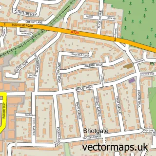
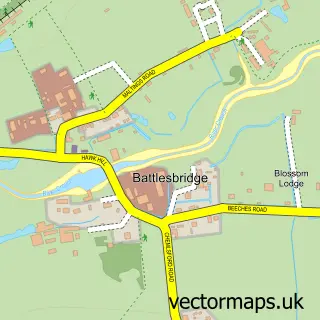
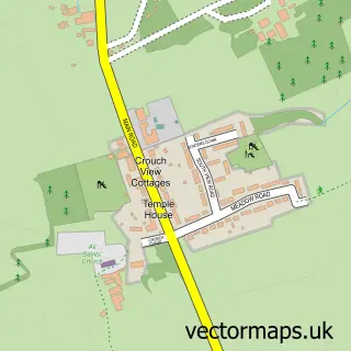
This Wickford street map is a detailed vector street map covering a 750m x 750m area. Select a larger area to create and download your own vector street map of Wickford.
The 750-metre map sample for Wickford covers 480 mapped buildings and approximately 20.8 km of road detail, of which 41 named roads are named. The immediate area includes 1 school, 2 GP surgeries, with 3 within 2 miles, 4 pubs and 1 MOT station, with 21 within 2 miles. The wider area around Wickford features 1 tourism point of interest and 20 food and drink venues. To create a larger or custom map of Wickford, the map builder lets you define your own coverage area and download editable SVG, PDF and PNG files.
Create a larger editable map of Wickford
Choose any area you need and generate a high-quality vector map instantly. Perfect for print, planning, design, business and personal use.

This Wickford street map in Essex is available as downloadable SVG, PDF and PNG map files, or as a printed map for planning, business, display, education, local information and design work. You can also create a larger custom map area using the map selector.
What this Wickford map sample shows
Wickford lies within Wickford Cp parish, part of Wickford Castledon ward in the Basildon District (B) local authority area. The postcode geography for this area includes the SS postcode area, the SS12 postcode district and the SS12 9 postcode sector. Residents fall under the Nhs Mid And South Essex Integrated Care Board for NHS services.
Local features near Wickford
Within 2 milesAmenities and services in and around Wickford.
Administrative and postcode information for Wickford
The local authority covering Wickford is Basildon District (B), within the county of Essex. The settlement lies within Wickford Castledon ward and Wickford Cp civil parish. The SS12 postcode district and SS12 9 postcode sector serve the immediate area. NHS provision in the area is delivered through Mid And South Essex Nhs Foundation Trust.
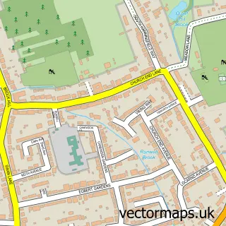
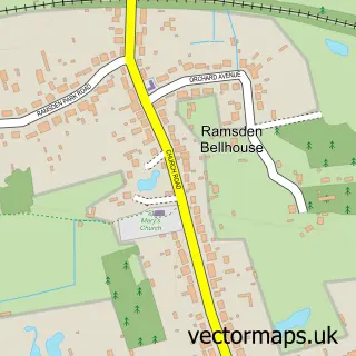
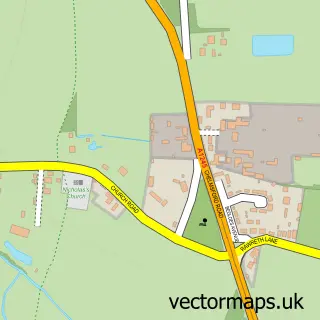
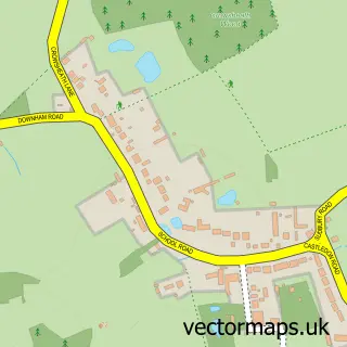
Nearby street map samples around Wickford

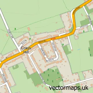
More street maps in Essex
750 metre map area coverage
Boundary, postcode and point of interest information for the 750m x 750m rectangle centred on this sample map.
Boundaries containing map centre
Constituency: Rayleigh and Wickford Co Const
County: Essex County
District: Basildon District (B)
Icb: NHS Essex ICB
Parish: Wickford CP
Police Force: essex
Postcode District: SS12
Postcode Sector: SS12 9
Ward: Wickford North Ward
Nearby boundaries intersecting sample
Postcode District: SS11
Postcode Sector: SS11 7, SS11 8, SS12 0
Ward: Castledon & Crouch Ward, Wickford Park Ward
Postcode coverage
POI category counts
Indian Restaurant: 9
Restaurant: 9
Beauty Salon: 8
Retail: 8
Discount Store: 7
Barber: 6
Church Cathedral: 6
Clothing Store: 6
Doctor: 6
Fast Food Restaurant: 6
Sample points of interest
- Hill Allen Wickford Ltd
- TaxAssist Accountants
- TaxAssist Accountants
- Wickford Trampoline Centre
- Papirfly
- Centre For Natural Health
- Claire Ivey
- Essex Osteopathic Clinics
- Los Amigos
- Rendell's
- Wickford: St Andrew
- Kirkwood The Extension Planning Company
Create a larger editable map of Wickford
This sample shows only a 750 metre area. To create a larger map of Wickford, use our map builder to choose your own coverage area, add titles and download editable SVG, PDF and PNG files.
Create a custom map of Wickford