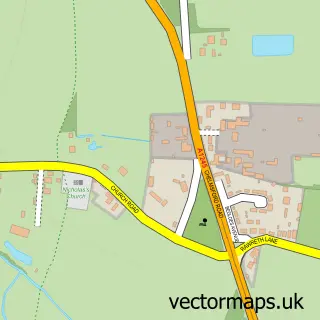
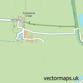
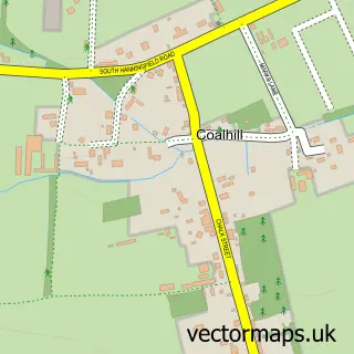
This Shotgate street map is a detailed vector street map covering a 750m x 750m area. Select a larger area to create and download your own vector street map of Shotgate.
The 750-metre map sample for Shotgate covers 650 mapped buildings and approximately 17.3 km of road detail, of which 37 named roads are named. The immediate area includes 3 GP surgeries within 2 miles and 19 MOT stations within 2 miles. The wider area around Shotgate features 1 tourism point of interest. To create a larger or custom map of Shotgate, the map builder lets you define your own coverage area and download editable SVG, PDF and PNG files.
Create a larger editable map of Shotgate
Choose any area you need and generate a high-quality vector map instantly. Perfect for print, planning, design, business and personal use.

This Shotgate street map in Essex is available as downloadable SVG, PDF and PNG map files, or as a printed map for planning, business, display, education, local information and design work. You can also create a larger custom map area using the map selector.
What this Shotgate map sample shows
Shotgate lies within Shotgate Cp parish, part of Wickford North ward in the Basildon District (B) local authority area. The postcode geography for this area includes the SS postcode area, the SS11 postcode district and the SS11 8 postcode sector. Residents fall under the Nhs Mid And South Essex Integrated Care Board for NHS services.
Local features near Shotgate
Within 2 milesAmenities and services in and around Shotgate.
Administrative and postcode information for Shotgate
Shotgate lies within Shotgate Cp parish, part of Wickford North ward in the Basildon District (B) local authority area. The postcode geography for this area includes the SS postcode area, the SS11 postcode district and the SS11 8 postcode sector. Residents fall under the Nhs Mid And South Essex Integrated Care Board for NHS services.
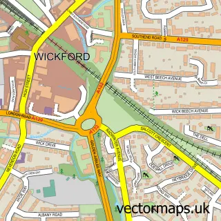
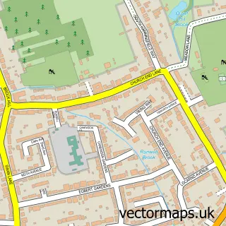
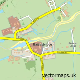
Nearby street map samples around Shotgate

More street maps in Essex
750 metre map area coverage
Boundary, postcode and point of interest information for the 750m x 750m rectangle centred on this sample map.
Boundaries containing map centre
Constituency: Rayleigh and Wickford Co Const
County: Essex County
District: Basildon District (B)
Icb: NHS Essex ICB
Parish: Shotgate CP
Police Force: essex
Postcode District: SS11
Postcode Sector: SS11 8
Ward: Wickford North Ward
Nearby boundaries intersecting sample
Parish: Wickford CP
Postcode coverage
POI category counts
Contractor: 4
Beauty Salon: 3
Bridal Shop: 3
Currency Exchange: 3
Doctor: 3
Photography Store And Services: 3
Retail: 3
Automotive Repair: 2
Beauty And Spa: 2
Building Supply Store: 2
Sample points of interest
- Shotgate Village Wickford
- The Bungalow
- Shotgate Motor Parts
- Mobile Auto Electrics
- Wickford Body Repair
- Compare Prepaid
- 1st Clinic UK - Aesthetics
- Make Up by Simone
- Anne Lilley
- Flutterbies Lashes and Beauty
- The Beauty Space
- Touch of Beauty by Hattie
Create a larger editable map of Shotgate
This sample shows only a 750 metre area. To create a larger map of Shotgate, use our map builder to choose your own coverage area, add titles and download editable SVG, PDF and PNG files.
Create a custom map of Shotgate