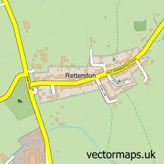
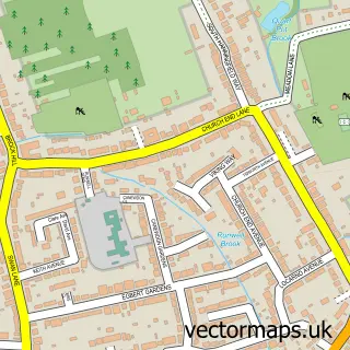
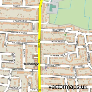
This Rettendon street map is a detailed vector street map covering a 750m x 750m area. Select a larger area to create and download your own vector street map of Rettendon.
The 750-metre map sample for Rettendon covers 113 mapped buildings and approximately 4.8 km of road detail, of which 5 named roads are named. The immediate area includes 1 school and 4 MOT stations within 2 miles. To create a larger or custom map of Rettendon, the map builder lets you define your own coverage area and download editable SVG, PDF and PNG files.
Create a larger editable map of Rettendon
Choose any area you need and generate a high-quality vector map instantly. Perfect for print, planning, design, business and personal use.

This Rettendon street map in Essex is available as downloadable SVG, PDF and PNG map files, or as a printed map for planning, business, display, education, local information and design work. You can also create a larger custom map area using the map selector.
What this Rettendon map sample shows
Rettendon lies within Rettendon Cp parish, part of Rettendon And Runwell ward in the Chelmsford District (B) local authority area. The postcode geography for this area includes the CM postcode area, the CM3 postcode district and the CM3 8 postcode sector. Residents fall under the Nhs Mid And South Essex Integrated Care Board for NHS services.
Local features near Rettendon
Within 2 milesAmenities and services in and around Rettendon.
Administrative and postcode information for Rettendon
Rettendon lies within Rettendon Cp parish, part of Rettendon And Runwell ward in the Chelmsford District (B) local authority area. The postcode geography for this area includes the CM postcode area, the CM3 postcode district and the CM3 8 postcode sector. Residents fall under the Nhs Mid And South Essex Integrated Care Board for NHS services.
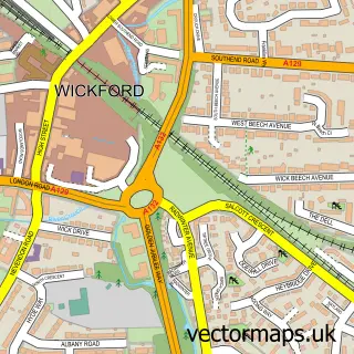
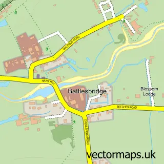
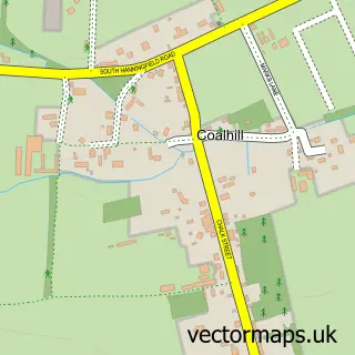
Nearby street map samples around Rettendon

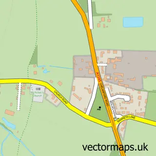
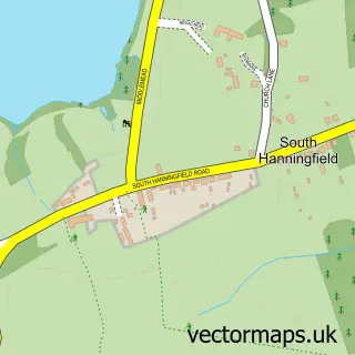
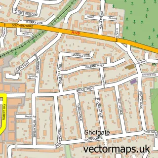
More street maps in Essex
750 metre map area coverage
Boundary, postcode and point of interest information for the 750m x 750m rectangle centred on this sample map.
Boundaries containing map centre
Constituency: Maldon Co Const
County: Essex County
District: Chelmsford District (B)
Icb: NHS Essex ICB
Parish: Rettendon CP
Police Force: essex
Postcode District: CM3
Postcode Sector: CM3 8
Ward: Rettendon and Runwell Ward
Nearby boundaries intersecting sample
Postcode District: SS11
Postcode Sector: SS11 7
Postcode coverage
POI category counts
Church Cathedral: 2
Contractor: 2
Gym: 2
Preschool: 2
Anglican Church: 1
Arts And Entertainment: 1
Bar: 1
Elementary School: 1
French Restaurant: 1
Furniture Manufacturers: 1
Sample points of interest
- All Saints', Rettendon
- Awacky Jackei
- Ye Old Plough
- All Saints Church
- Rettendon Church
- Assured Heating Essex
- Kelson Flooring Services
- Rettendon Primary School
- Le Benaix
- Verve Fitted Bedrooms
- Ignite Active Personal Training & Development Studio Rettendon & Stock
- Mens Fit Club
Create a larger editable map of Rettendon
This sample shows only a 750 metre area. To create a larger map of Rettendon, use our map builder to choose your own coverage area, add titles and download editable SVG, PDF and PNG files.
Create a custom map of Rettendon