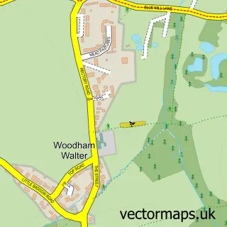
This Boreham street map is a detailed vector street map covering a 750m x 750m area. Select a larger area to create and download your own vector street map of Boreham.
The 750-metre map sample for Boreham covers 551 mapped buildings and approximately 18.9 km of road detail, of which 33 named roads are named. The immediate area includes 1 school, 1 GP surgery, with 2 within 2 miles, 1 pub and 7 MOT stations within 2 miles. The wider area around Boreham features 1 food and drink venue. To create a larger or custom map of Boreham, the map builder lets you define your own coverage area and download editable SVG, PDF and PNG files.
Create a larger editable map of Boreham
Choose any area you need and generate a high-quality vector map instantly. Perfect for print, planning, design, business and personal use.

This Boreham street map in Essex is available as downloadable SVG, PDF and PNG map files, or as a printed map for planning, business, display, education, local information and design work. You can also create a larger custom map area using the map selector.
What this Boreham map sample shows
Boreham lies within Boreham Cp parish, part of Boreham And The Leighs ward in the Chelmsford District (B) local authority area. The postcode geography for this area includes the CM postcode area, the CM3 postcode district and the CM3 3 postcode sector. Residents fall under the Nhs Mid And South Essex Integrated Care Board for NHS services.
Local features near Boreham
Within 2 milesAmenities and services in and around Boreham.
Administrative and postcode information for Boreham
The local authority covering Boreham is Chelmsford District (B), within the county of Essex. The settlement lies within Boreham And The Leighs ward and Boreham Cp civil parish. The CM3 postcode district and CM3 3 postcode sector serve the immediate area. NHS provision in the area is delivered through Mid And South Essex Nhs Foundation Trust.
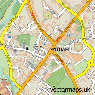
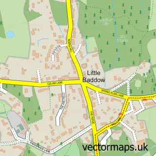
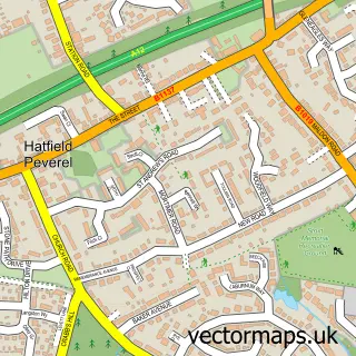
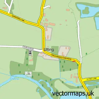
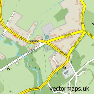
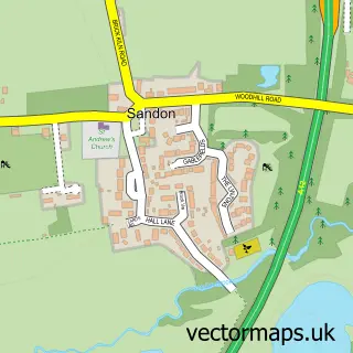
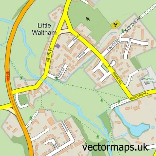
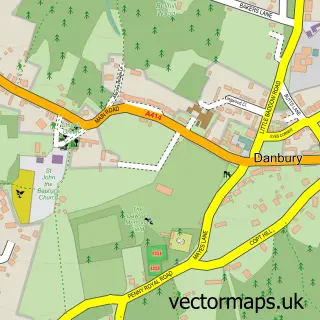
Nearby street map samples around Boreham

More street maps in Essex
750 metre map area coverage
Boundary, postcode and point of interest information for the 750m x 750m rectangle centred on this sample map.
Boundaries containing map centre
Constituency: North West Essex Co Const
County: Essex County
District: Chelmsford District (B)
Icb: NHS Essex ICB
Parish: Boreham CP
Police Force: essex
Postcode District: CM3
Postcode Sector: CM3 3
Ward: Boreham and The Leighs Ward
Nearby boundaries intersecting sample
No additional intersecting boundaries found.
Postcode coverage
POI category counts
Building Supply Store: 2
Chimney Sweep: 2
Church Cathedral: 2
Contractor: 2
Convenience Store: 2
Electrician: 2
Physical Therapy: 2
Post Office: 2
Professional Services: 2
Accountant: 1
Sample points of interest
- Turner Grice Limited
- St. Andrew's, Boreham
- The Cooperative Food Boreham Main Road , Boreham
- Elite Electrics
- Chips Away
- The Perfect Pudding Co
- Alexander's
- Hannah Rush Mobile Hairdresser
- Farmer Interiors Ltd
- R C Interiors
- Chelmsford Chimney Sweep
- Steve reed chimney sweep
Create a larger editable map of Boreham
This sample shows only a 750 metre area. To create a larger map of Boreham, use our map builder to choose your own coverage area, add titles and download editable SVG, PDF and PNG files.
Create a custom map of Boreham