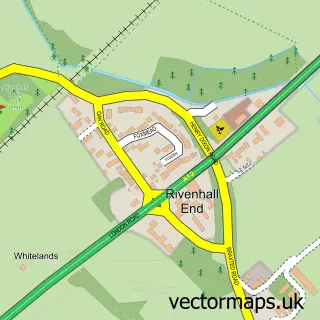
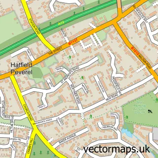
This Witham street map is a detailed vector street map covering a 750m x 750m area. Select a larger area to create and download your own vector street map of Witham.
The 750-metre map sample for Witham covers 423 mapped buildings and approximately 15.8 km of road detail, of which 38 named roads are named. The immediate area includes 3 GP surgeries, with 4 within 2 miles, 8 pubs and 2 MOT stations, with 9 within 2 miles. The wider area around Witham features 3 tourism points of interest, 22 food and drink venues and 1 hotel. To create a larger or custom map of Witham, the map builder lets you define your own coverage area and download editable SVG, PDF and PNG files.
Create a larger editable map of Witham
Choose any area you need and generate a high-quality vector map instantly. Perfect for print, planning, design, business and personal use.

This Witham street map in Essex is available as downloadable SVG, PDF and PNG map files, or as a printed map for planning, business, display, education, local information and design work. You can also create a larger custom map area using the map selector.
What this Witham map sample shows
Witham lies within Witham Cp parish, part of Witham Central ward in the Braintree District local authority area. The postcode geography for this area includes the CM postcode area, the CM8 postcode district and the CM8 1 postcode sector. Residents fall under the Nhs Mid And South Essex Integrated Care Board for NHS services.
Local features near Witham
Within 2 milesAmenities and services in and around Witham.
Administrative and postcode information for Witham
The local authority covering Witham is Braintree District, within the county of Essex. The settlement lies within Witham Central ward and Witham Cp civil parish. The CM8 postcode district and CM8 1 postcode sector serve the immediate area. NHS provision in the area is delivered through Mid And South Essex Nhs Foundation Trust.
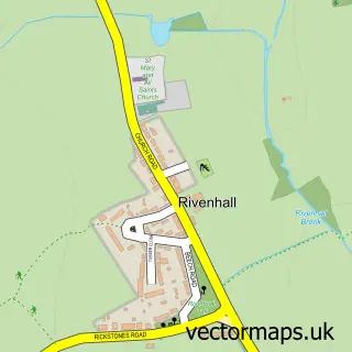
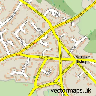
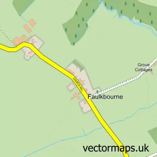
Nearby street map samples around Witham


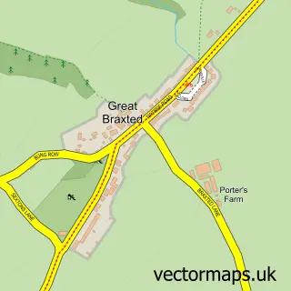
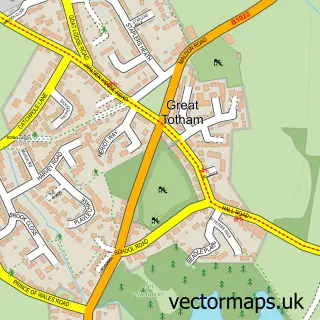
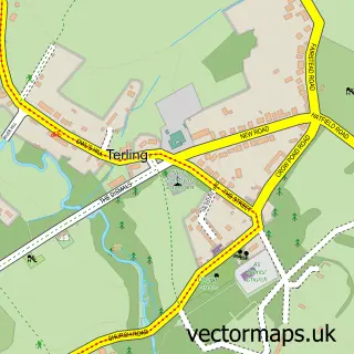
More street maps in Essex
750 metre map area coverage
Boundary, postcode and point of interest information for the 750m x 750m rectangle centred on this sample map.
Boundaries containing map centre
Constituency: Witham Co Const
County: Essex County
District: Braintree District
Icb: NHS Essex ICB
Parish: Witham CP
Police Force: essex
Postcode District: CM8
Postcode Sector: CM8 2
Ward: Witham Central Ward
Nearby boundaries intersecting sample
Postcode Sector: CM8 1
Ward: Witham West Ward
Postcode coverage
POI category counts
Professional Services: 13
Real Estate Agent: 13
Barber: 9
Beauty Salon: 9
Hair Salon: 9
Dentist: 8
Pub: 8
Doctor: 7
Flowers And Gifts Shop: 7
Banks: 6
Sample points of interest
- Baverstocks Ltd
- Clientline Accountancy
- Wilson Devenish Ltd
- Divadani
- Resort Marketing International
- RSPCA
- Bairstow Eves Estate Agents Witham
- CM Rent And Sales Letting Agents Witham
- cmRENT & SALES Witham
- Rag Tag & Bobtail
- Witham Art and Framing Centre
- Weatherspoons
Create a larger editable map of Witham
This sample shows only a 750 metre area. To create a larger map of Witham, use our map builder to choose your own coverage area, add titles and download editable SVG, PDF and PNG files.
Create a custom map of Witham