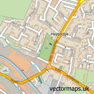
This Wickham Bishops street map is a detailed vector street map covering a 750m x 750m area. Select a larger area to create and download your own vector street map of Wickham Bishops.
The 750-metre map sample for Wickham Bishops covers 490 mapped buildings and approximately 18.3 km of road detail, of which 28 named roads are named. The immediate area includes 2 GP surgeries within 2 miles, 1 pub and 1 MOT station, with 4 within 2 miles. The wider area around Wickham Bishops features 2 food and drink venues. To create a larger or custom map of Wickham Bishops, the map builder lets you define your own coverage area and download editable SVG, PDF and PNG files.
Create a larger editable map of Wickham Bishops
Choose any area you need and generate a high-quality vector map instantly. Perfect for print, planning, design, business and personal use.

This Wickham Bishops street map in Essex is available as downloadable SVG, PDF and PNG map files, or as a printed map for planning, business, display, education, local information and design work. You can also create a larger custom map area using the map selector.
What this Wickham Bishops map sample shows
Wickham Bishops lies within Wickham Bishops Cp parish, part of Wickham Bishops And Woodham ward in the Maldon District (B) local authority area. The postcode geography for this area includes the CM postcode area, the CM8 postcode district and the CM8 3 postcode sector. Residents fall under the Nhs Mid And South Essex Integrated Care Board for NHS services.
Local features near Wickham Bishops
Within 2 milesAmenities and services in and around Wickham Bishops.
Administrative and postcode information for Wickham Bishops
The local authority covering Wickham Bishops is Maldon District (B), within the county of Essex. The settlement lies within Wickham Bishops And Woodham ward and Wickham Bishops Cp civil parish. The CM8 postcode district and CM8 3 postcode sector serve the immediate area. NHS provision in the area is delivered through Mid And South Essex Nhs Foundation Trust.
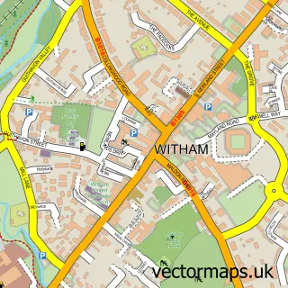
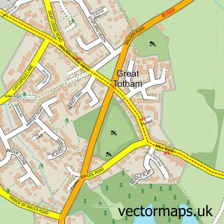
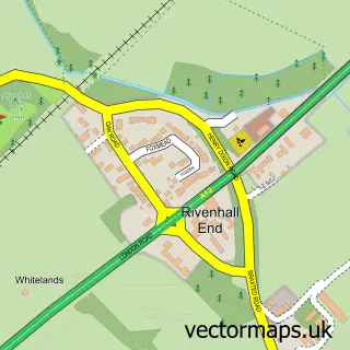
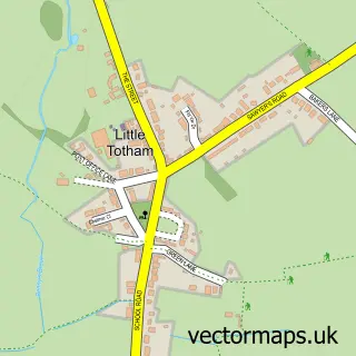
Nearby street map samples around Wickham Bishops


More street maps in Essex
750 metre map area coverage
Boundary, postcode and point of interest information for the 750m x 750m rectangle centred on this sample map.
Boundaries containing map centre
Constituency: Witham Co Const
County: Essex County
District: Maldon District (B)
Icb: NHS Essex ICB
Parish: Wickham Bishops CP
Police Force: essex
Postcode District: CM8
Postcode Sector: CM8 3
Ward: Wickham Bishops and Woodham Ward
Nearby boundaries intersecting sample
Parish: Great Totham CP
Ward: Great Totham Ward
Postcode coverage
POI category counts
Hair Salon: 4
Convenience Store: 3
Post Office: 3
Scout Hall: 3
Bar: 2
Beauty Salon: 2
Building Supply Store: 2
Real Estate Agent: 2
Accountant: 1
Advertising Agency: 1
Sample points of interest
- B B Harrison Chartered Certified Accountant
- Top Signs
- Wickham Bishops Village Hall
- The Mitre
- The Queens Head
- Essex Hog King
- Aimee Peters Nails & Beauty
- Cinderella's Beauty Salon
- Just Bricks & Specials
- Sigma Electrical Services Essex
- Costa Express
- PC Care Essex
Create a larger editable map of Wickham Bishops
This sample shows only a 750 metre area. To create a larger map of Wickham Bishops, use our map builder to choose your own coverage area, add titles and download editable SVG, PDF and PNG files.
Create a custom map of Wickham Bishops