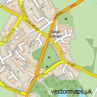
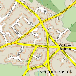
This Totham Hill street map is a detailed vector street map covering a 750m x 750m area. Select a larger area to create and download your own vector street map of Totham Hill.
The 750-metre map sample for Totham Hill covers 235 mapped buildings and approximately 7.9 km of road detail, of which 13 named roads are named. The immediate area includes 2 MOT stations within 2 miles. To create a larger or custom map of Totham Hill, the map builder lets you define your own coverage area and download editable SVG, PDF and PNG files.
Create a larger editable map of Totham Hill
Choose any area you need and generate a high-quality vector map instantly. Perfect for print, planning, design, business and personal use.

This Totham Hill street map in Essex is available as downloadable SVG, PDF and PNG map files, or as a printed map for planning, business, display, education, local information and design work. You can also create a larger custom map area using the map selector.
What this Totham Hill map sample shows
Totham Hill lies within Great Totham Cp parish, part of Great Totham ward in the Maldon District (B) local authority area. The postcode geography for this area includes the CM postcode area, the CM9 postcode district and the CM9 8 postcode sector. Residents fall under the Nhs Mid And South Essex Integrated Care Board for NHS services.
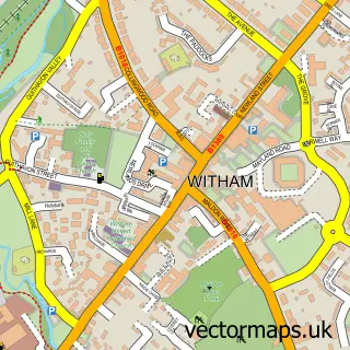
Local features near Totham Hill
Within 2 milesAmenities and services in and around Totham Hill.
Administrative and postcode information for Totham Hill
Totham Hill lies within Great Totham Cp parish, part of Great Totham ward in the Maldon District (B) local authority area. The postcode geography for this area includes the CM postcode area, the CM9 postcode district and the CM9 8 postcode sector. Residents fall under the Nhs Mid And South Essex Integrated Care Board for NHS services.
Nearby street map samples around Totham Hill

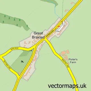
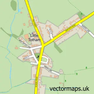

More street maps in Essex
750 metre map area coverage
Boundary, postcode and point of interest information for the 750m x 750m rectangle centred on this sample map.
Boundaries containing map centre
Constituency: Witham Co Const
County: Essex County
District: Maldon District (B)
Icb: NHS Essex ICB
Parish: Great Totham CP
Police Force: essex
Postcode District: CM9
Postcode Sector: CM9 8
Ward: Great Totham Ward
Nearby boundaries intersecting sample
No additional intersecting boundaries found.
Postcode coverage
POI category counts
Flowers And Gifts Shop: 2
Electrician: 1
Flooring Contractors: 1
It Service And Computer Repair: 1
It Support And Service: 1
Nail Salon: 1
Recording And Rehearsal Studio: 1
Retail: 1
Topic Concert Venue: 1
Sample points of interest
- Dna Electrical
- D L Harris Flooring
- Coast & Country Gifts
- The florist on the green
- Totality Systems
- Totality Systems
- Uniquely Yours
- Soundmagic Studio
- Upson Mowers
- The Arena at Crowne Plaza Resort
Create a larger editable map of Totham Hill
This sample shows only a 750 metre area. To create a larger map of Totham Hill, use our map builder to choose your own coverage area, add titles and download editable SVG, PDF and PNG files.
Create a custom map of Totham Hill