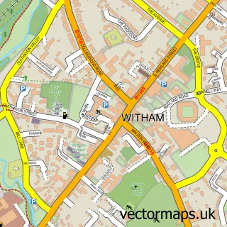
This Tiptree street map is a detailed vector street map covering a 750m x 750m area. Select a larger area to create and download your own vector street map of Tiptree.
The 750-metre map sample for Tiptree covers 638 mapped buildings and approximately 17.7 km of road detail, of which 41 named roads are named. The immediate area includes 1 school, 1 GP surgery, 1 pub and 2 MOT stations, with 3 within 2 miles. The wider area around Tiptree features 2 tourism points of interest and 5 food and drink venues. To create a larger or custom map of Tiptree, the map builder lets you define your own coverage area and download editable SVG, PDF and PNG files.
Create a larger editable map of Tiptree
Choose any area you need and generate a high-quality vector map instantly. Perfect for print, planning, design, business and personal use.

This Tiptree street map in Essex is available as downloadable SVG, PDF and PNG map files, or as a printed map for planning, business, display, education, local information and design work. You can also create a larger custom map area using the map selector.
What this Tiptree map sample shows
Tiptree lies within Tiptree Cp parish, part of Tiptree ward in the Colchester District (B) local authority area. The postcode geography for this area includes the CO postcode area, the CO5 postcode district and the CO5 0 postcode sector. Residents fall under the Nhs Suffolk And North East Essex Integrated Care Board for NHS services.
Local features near Tiptree
Within 2 milesAmenities and services in and around Tiptree.
Administrative and postcode information for Tiptree
The local authority covering Tiptree is Colchester District (B), within the county of Essex. The settlement lies within Tiptree ward and Tiptree Cp civil parish. The CO5 postcode district and CO5 0 postcode sector serve the immediate area. NHS provision in the area is delivered through East Suffolk And North Essex Nhs Foundation Trust.
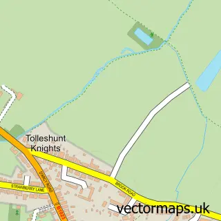
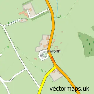
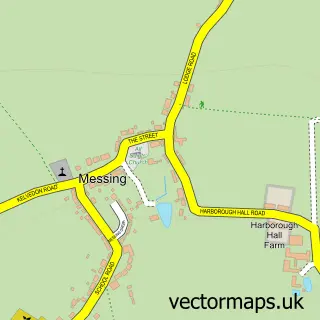
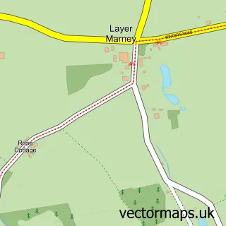
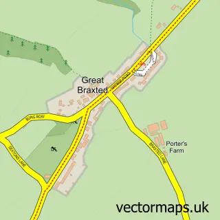
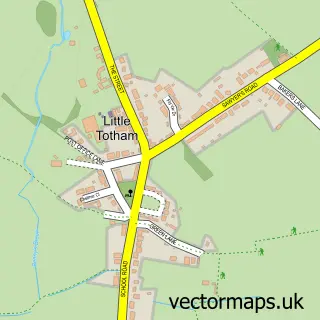
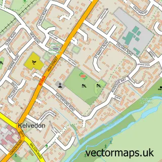
Nearby street map samples around Tiptree


More street maps in Essex
750 metre map area coverage
Boundary, postcode and point of interest information for the 750m x 750m rectangle centred on this sample map.
Boundaries containing map centre
Constituency: Witham Co Const
County: Essex County
District: Colchester District (B)
Icb: NHS Essex ICB
Parish: Tiptree CP
Police Force: essex
Postcode District: CO5
Postcode Sector: CO5 0
Ward: Tiptree Ward
Nearby boundaries intersecting sample
No additional intersecting boundaries found.
Postcode coverage
POI category counts
Beauty Salon: 7
Building Supply Store: 5
Hair Salon: 4
Real Estate Agent: 4
Accountant: 3
Automotive Repair: 3
Barber: 3
Beauty And Spa: 3
Carpet Store: 3
Contractor: 3
Sample points of interest
- Cavendish Accountancy
- IJC Finance Ltd
- IJC Finance Ltd. - Accountants for Growing Businesses
- Hot Leads Daily
- Trait Design
- St Luke's Church, Tolleshunt Knights with Tiptree
- St. Luke's Church
- Age UK
- Bairstow Eves
- Owen Partnership
- The Owen Partnership
- Premier Picture Framing
Create a larger editable map of Tiptree
This sample shows only a 750 metre area. To create a larger map of Tiptree, use our map builder to choose your own coverage area, add titles and download editable SVG, PDF and PNG files.
Create a custom map of Tiptree