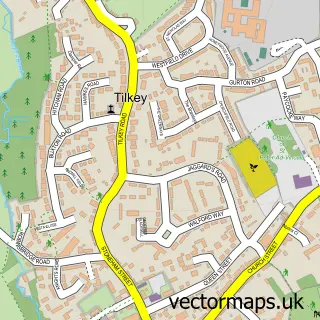
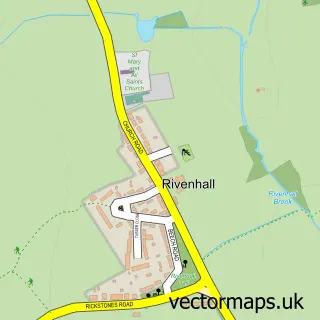
This Kelvedon street map is a detailed vector street map covering a 750m x 750m area. Select a larger area to create and download your own vector street map of Kelvedon.
The 750-metre map sample for Kelvedon covers 562 mapped buildings and approximately 14.4 km of road detail, of which 31 named roads are named. The immediate area includes 1 school, 1 GP surgery, 1 pub and 3 MOT stations within 2 miles. The wider area around Kelvedon features 2 tourism points of interest and 6 food and drink venues. To create a larger or custom map of Kelvedon, the map builder lets you define your own coverage area and download editable SVG, PDF and PNG files.
Create a larger editable map of Kelvedon
Choose any area you need and generate a high-quality vector map instantly. Perfect for print, planning, design, business and personal use.

This Kelvedon street map in Essex is available as downloadable SVG, PDF and PNG map files, or as a printed map for planning, business, display, education, local information and design work. You can also create a larger custom map area using the map selector.
What this Kelvedon map sample shows
Kelvedon lies within Kelvedon Cp parish, part of Kelvedon & Feering ward in the Braintree District local authority area. The postcode geography for this area includes the CO postcode area, the CO5 postcode district and the CO5 9 postcode sector. Residents fall under the Nhs Mid And South Essex Integrated Care Board for NHS services.
Local features near Kelvedon
Within 2 milesAmenities and services in and around Kelvedon.
Administrative and postcode information for Kelvedon
Kelvedon lies within Kelvedon Cp parish, part of Kelvedon & Feering ward in the Braintree District local authority area. The postcode geography for this area includes the CO postcode area, the CO5 postcode district and the CO5 9 postcode sector. Residents fall under the Nhs Mid And South Essex Integrated Care Board for NHS services.
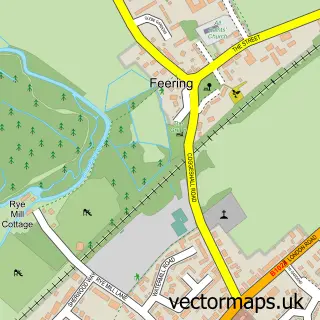
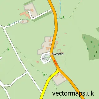
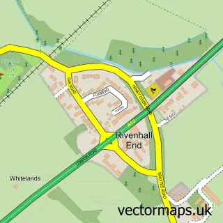
Nearby street map samples around Kelvedon


More street maps in Essex
750 metre map area coverage
Boundary, postcode and point of interest information for the 750m x 750m rectangle centred on this sample map.
Boundaries containing map centre
Constituency: Witham Co Const
County: Essex County
District: Braintree District
Icb: NHS Essex ICB
Parish: Kelvedon CP
Police Force: essex
Postcode District: CO5
Postcode Sector: CO5 9
Ward: Kelvedon & Feering Ward
Nearby boundaries intersecting sample
No additional intersecting boundaries found.
Postcode coverage
POI category counts
Convenience Store: 3
Dance School: 3
Beauty Salon: 2
Cafe: 2
Doctor: 2
Hair Salon: 2
Home Cleaning: 2
Home Service: 2
Library: 2
Professional Services: 2
Sample points of interest
- B W Whiffin & Co
- Unique PR and Marketing
- East of England Co-op KELVEDON (CZC)
- Cutting Edge
- Vitality Aromatherapy
- Full Focus Weddings Videography
- Heron Property Services
- Archon CRM Solutions
- Country Crust
- Edon
- St Mary Immaculate and The Holy Archangels Catholic Church
- Canonium Learning Trust
Create a larger editable map of Kelvedon
This sample shows only a 750 metre area. To create a larger map of Kelvedon, use our map builder to choose your own coverage area, add titles and download editable SVG, PDF and PNG files.
Create a custom map of Kelvedon