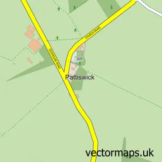
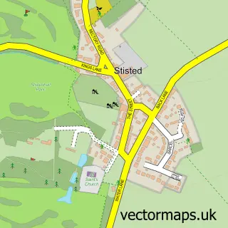
This Coggeshall street map is a detailed vector street map covering a 750m x 750m area. Select a larger area to create and download your own vector street map of Coggeshall.
The 750-metre map sample for Coggeshall covers 557 mapped buildings and approximately 15.1 km of road detail, of which 31 named roads are named. The immediate area includes 1 school, 1 GP surgery, 1 pub and 2 MOT stations within 2 miles. The wider area around Coggeshall features 1 tourism point of interest and 2 food and drink venues. To create a larger or custom map of Coggeshall, the map builder lets you define your own coverage area and download editable SVG, PDF and PNG files.
Create a larger editable map of Coggeshall
Choose any area you need and generate a high-quality vector map instantly. Perfect for print, planning, design, business and personal use.

This Coggeshall street map in Essex is available as downloadable SVG, PDF and PNG map files, or as a printed map for planning, business, display, education, local information and design work. You can also create a larger custom map area using the map selector.
What this Coggeshall map sample shows
Coggeshall lies within Coggeshall Cp parish, part of Coggeshall ward in the Braintree District local authority area. The postcode geography for this area includes the CO postcode area, the CO6 postcode district and the CO6 1 postcode sector. Residents fall under the Nhs Mid And South Essex Integrated Care Board for NHS services.
Local features near Coggeshall
Within 2 milesAmenities and services in and around Coggeshall.
Administrative and postcode information for Coggeshall
Coggeshall lies within Coggeshall Cp parish, part of Coggeshall ward in the Braintree District local authority area. The postcode geography for this area includes the CO postcode area, the CO6 postcode district and the CO6 1 postcode sector. Residents fall under the Nhs Mid And South Essex Integrated Care Board for NHS services.
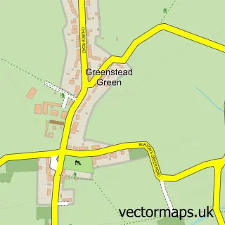
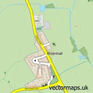
Nearby street map samples around Coggeshall


More street maps in Essex
750 metre map area coverage
Boundary, postcode and point of interest information for the 750m x 750m rectangle centred on this sample map.
Boundaries containing map centre
Constituency: Witham Co Const
County: Essex County
District: Braintree District
Icb: NHS Essex ICB
Parish: Coggeshall CP
Police Force: essex
Postcode District: CO6
Postcode Sector: CO6 1
Ward: Coggeshall Ward
Nearby boundaries intersecting sample
No additional intersecting boundaries found.
Postcode coverage
POI category counts
Contractor: 3
Bridal Shop: 2
Building Supply Store: 2
Church Cathedral: 2
Community Center: 2
Construction Services: 2
Driving School: 2
Flowers And Gifts Shop: 2
Hair Salon: 2
Scout Hall: 2
Sample points of interest
- David Herbert Accountancy Services Ltd.
- Andrew C Hasler
- SRH Installations
- Woolpack Inn
- Ljbeauty
- Dream Occasions
- Marcus Photography
- M.Marriott Construction Ltd.
- Cade Carpentry & Joinery
- Modestly Modern Design
- We Create Digital
- Roots & Grooves Cafe
Create a larger editable map of Coggeshall
This sample shows only a 750 metre area. To create a larger map of Coggeshall, use our map builder to choose your own coverage area, add titles and download editable SVG, PDF and PNG files.
Create a custom map of Coggeshall