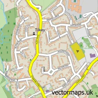
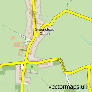
This Bradwell street map is a detailed vector street map covering a 750m x 750m area. Select a larger area to create and download your own vector street map of Bradwell.
The 750-metre map sample for Bradwell covers 126 mapped buildings and approximately 5.6 km of road detail, of which 7 named roads are named. The immediate area includes 1 MOT station within 2 miles. The wider area around Bradwell features 1 tourism point of interest and 2 food and drink venues. To create a larger or custom map of Bradwell, the map builder lets you define your own coverage area and download editable SVG, PDF and PNG files.
Create a larger editable map of Bradwell
Choose any area you need and generate a high-quality vector map instantly. Perfect for print, planning, design, business and personal use.

This Bradwell street map in Essex is available as downloadable SVG, PDF and PNG map files, or as a printed map for planning, business, display, education, local information and design work. You can also create a larger custom map area using the map selector.
What this Bradwell map sample shows
Bradwell lies within Bradwell Cp parish, part of Coggeshall ward in the Braintree District local authority area. The postcode geography for this area includes the CM postcode area, the CM77 postcode district and the CM77 8 postcode sector. Residents fall under the Nhs Mid And South Essex Integrated Care Board for NHS services.
Local features near Bradwell
Within 2 milesAmenities and services in and around Bradwell.
Administrative and postcode information for Bradwell
Bradwell lies within Bradwell Cp parish, part of Coggeshall ward in the Braintree District local authority area. The postcode geography for this area includes the CM postcode area, the CM77 postcode district and the CM77 8 postcode sector. Residents fall under the Nhs Mid And South Essex Integrated Care Board for NHS services.
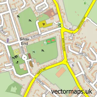
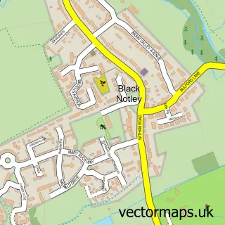
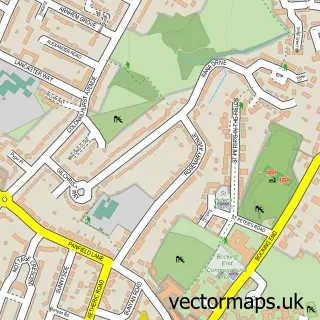
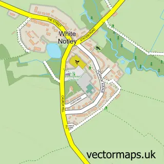
Nearby street map samples around Bradwell

More street maps in Essex
750 metre map area coverage
Boundary, postcode and point of interest information for the 750m x 750m rectangle centred on this sample map.
Boundaries containing map centre
Constituency: Witham Co Const
County: Essex County
District: Braintree District
Icb: NHS Essex ICB
Parish: Bradwell CP
Police Force: essex
Postcode District: CM77
Postcode Sector: CM77 8
Ward: Coggeshall Ward
Nearby boundaries intersecting sample
Parish: Stisted CP
Postcode coverage
POI category counts
Convenience Store: 5
Gas Station: 2
Alternative Medicine: 1
Asian Fusion Restaurant: 1
Atms: 1
Automotive Services And Repair: 1
Bar: 1
Cafe: 1
Church Cathedral: 1
Clothing Store: 1
Sample points of interest
- Julie Rudkins Rmanm Progressive Kinesiology
- Wadud's Fusion of Thai and Indian Restaurant
- Sectorsure Ltd - Bradwell Service Station
- RJR Motorcycles
- Fillies
- Wild Bean Café
- Bradwell Juxta Coggeshall
- Essex Bikers Centre
- Bradwell Village Hall
- Londis Bradwell Service Station
- SPAR - BP Bradwell Service Station
- SPAR - BP Bradwell Service Station
Create a larger editable map of Bradwell
This sample shows only a 750 metre area. To create a larger map of Bradwell, use our map builder to choose your own coverage area, add titles and download editable SVG, PDF and PNG files.
Create a custom map of Bradwell