This Cressing street map is a detailed vector street map covering a 750m x 750m area. Select a larger area to create and download your own vector street map of Cressing.
The 750-metre map sample for Cressing covers 111 mapped buildings and approximately 8.0 km of road detail, of which 5 named roads are named. The immediate area includes 1 GP surgery within 2 miles, 1 pub and 5 MOT stations within 2 miles. The wider area around Cressing features 1 food and drink venue. To create a larger or custom map of Cressing, the map builder lets you define your own coverage area and download editable SVG, PDF and PNG files.
Create a larger editable map of Cressing
Choose any area you need and generate a high-quality vector map instantly. Perfect for print, planning, design, business and personal use.

This Cressing street map in Essex is available as downloadable SVG, PDF and PNG map files, or as a printed map for planning, business, display, education, local information and design work. You can also create a larger custom map area using the map selector.
What this Cressing map sample shows
Cressing lies within Cressing Cp parish, part of Silver End & Cressing ward in the Braintree District local authority area. The postcode geography for this area includes the CM postcode area, the CM77 postcode district and the CM77 8 postcode sector. Residents fall under the Nhs Mid And South Essex Integrated Care Board for NHS services.
Local features near Cressing
Within 2 milesAmenities and services in and around Cressing.
Administrative and postcode information for Cressing
The local authority covering Cressing is Braintree District, within the county of Essex. The settlement lies within Silver End & Cressing ward and Cressing Cp civil parish. The CM77 postcode district and CM77 8 postcode sector serve the immediate area. NHS provision in the area is delivered through Mid And South Essex Nhs Foundation Trust.
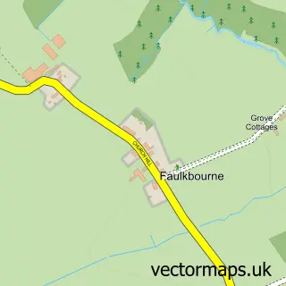
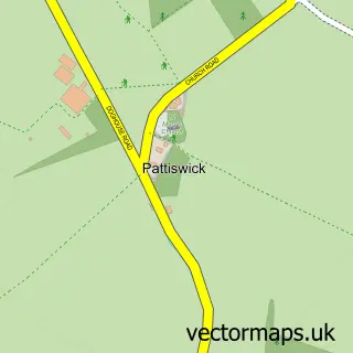
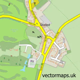
Nearby street map samples around Cressing
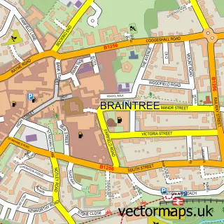

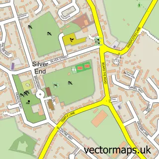
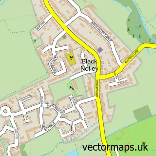

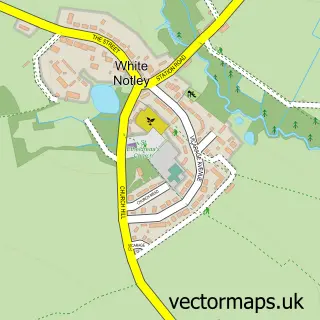
More street maps in Essex
750 metre map area coverage
Boundary, postcode and point of interest information for the 750m x 750m rectangle centred on this sample map.
Boundaries containing map centre
Constituency: Witham Co Const
County: Essex County
District: Braintree District
Icb: NHS Essex ICB
Parish: Cressing CP
Police Force: essex
Postcode District: CM77
Postcode Sector: CM77 8
Ward: Silver End & Cressing Ward
Nearby boundaries intersecting sample
Parish: Silver End CP
Postcode coverage
POI category counts
Asian Fusion Restaurant: 1
Assisted Living Facility: 1
Auto Restoration Services: 1
Automotive: 1
Carpenter: 1
Church Cathedral: 1
Italian Restaurant: 1
Movers: 1
Pet Groomer: 1
Professional Services: 1
Sample points of interest
- Wadud's Fusion at Village Indigo
- Imola
- Clark and Carter Restorations
- Clark & Carter Restorations Ltd.
- Dale O'Connor Carpentry
- Cressing Community Church
- Il Salice Italian Restaurant
- BMF Removals
- K9 Cabin Cressing
- Essex Stamp Auctions
- The Willows Inn Pub
- All Saints Church Cressing and St Barnabas Tye Green
Create a larger editable map of Cressing
This sample shows only a 750 metre area. To create a larger map of Cressing, use our map builder to choose your own coverage area, add titles and download editable SVG, PDF and PNG files.
Create a custom map of Cressing