This Bocking street map is a detailed vector street map covering a 750m x 750m area. Select a larger area to create and download your own vector street map of Bocking.
The 750-metre map sample for Bocking covers 443 mapped buildings and approximately 15.4 km of road detail, of which 34 named roads are named. The immediate area includes 2 schools, 4 GP surgeries within 2 miles and 19 MOT stations within 2 miles. The wider area around Bocking features 2 tourism points of interest and 1 food and drink venue. To create a larger or custom map of Bocking, the map builder lets you define your own coverage area and download editable SVG, PDF and PNG files.
Create a larger editable map of Bocking
Choose any area you need and generate a high-quality vector map instantly. Perfect for print, planning, design, business and personal use.

This Bocking street map in Essex is available as downloadable SVG, PDF and PNG map files, or as a printed map for planning, business, display, education, local information and design work. You can also create a larger custom map area using the map selector.
What this Bocking map sample shows
Bocking lies within Essex County parish, part of Bocking Blackwater ward in the Braintree District local authority area. The postcode geography for this area includes the CM postcode area, the CM7 postcode district and the CM7 9 postcode sector. Residents fall under the Nhs Mid And South Essex Integrated Care Board for NHS services.
Local features near Bocking
Within 2 milesAmenities and services in and around Bocking.
Administrative and postcode information for Bocking
The local authority covering Bocking is Braintree District, within the county of Essex. The settlement lies within Bocking Blackwater ward and Essex County civil parish. The CM7 postcode district and CM7 9 postcode sector serve the immediate area. NHS provision in the area is delivered through Mid And South Essex Nhs Foundation Trust.
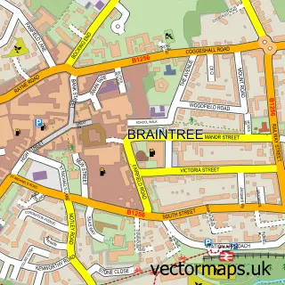
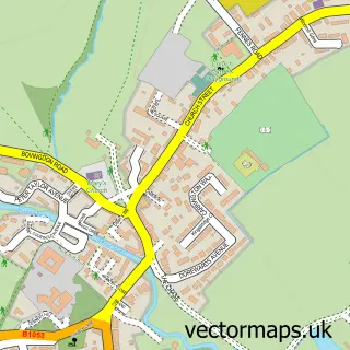
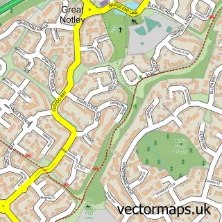
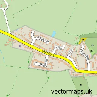
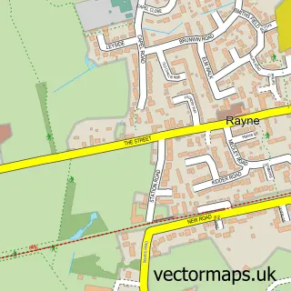
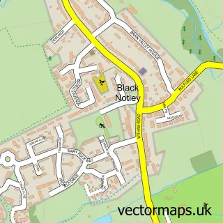
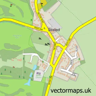
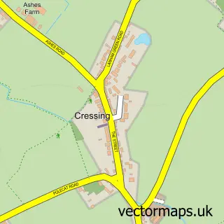
Nearby street map samples around Bocking


More street maps in Essex
750 metre map area coverage
Boundary, postcode and point of interest information for the 750m x 750m rectangle centred on this sample map.
Boundaries containing map centre
Constituency: Braintree Co Const
County: Essex County
District: Braintree District
Icb: NHS Essex ICB
Police Force: essex
Postcode District: CM7
Postcode Sector: CM7 2
Ward: Bocking South Ward
Nearby boundaries intersecting sample
Postcode Sector: CM7 5, CM7 9
Ward: Bocking Blackwater Ward
Postcode coverage
POI category counts
Home Service: 4
Professional Services: 4
Convenience Store: 3
Elementary School: 3
Podiatrist: 3
Accountant: 2
Charity Organization: 2
Community Center: 2
Doctor: 2
It Service And Computer Repair: 2
Sample points of interest
- Baker Chapman & Bussey
- The Wages Department Ltd.
- St Peter’s, Bocking
- Braintree Antiques Centre
- Braintree District Council
- Braintree Panto
- Bocking Auctions
- Golden Touch Barbers
- Sono Belli Beauty
- Peak Perfection
- Fencing & Gates
- Christian Clarke Catering
Create a larger editable map of Bocking
This sample shows only a 750 metre area. To create a larger map of Bocking, use our map builder to choose your own coverage area, add titles and download editable SVG, PDF and PNG files.
Create a custom map of Bocking