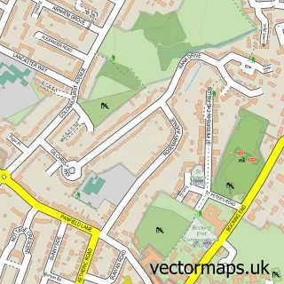
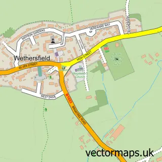
This Panfield street map is a detailed vector street map covering a 750m x 750m area. Select a larger area to create and download your own vector street map of Panfield.
The 750-metre map sample for Panfield covers 204 mapped buildings and approximately 5.0 km of road detail, of which 7 named roads are named. The immediate area includes 2 GP surgeries within 2 miles, 1 pub and 6 MOT stations within 2 miles. The wider area around Panfield features 1 tourism point of interest and 1 food and drink venue. To create a larger or custom map of Panfield, the map builder lets you define your own coverage area and download editable SVG, PDF and PNG files.
Create a larger editable map of Panfield
Choose any area you need and generate a high-quality vector map instantly. Perfect for print, planning, design, business and personal use.

This Panfield street map in Essex is available as downloadable SVG, PDF and PNG map files, or as a printed map for planning, business, display, education, local information and design work. You can also create a larger custom map area using the map selector.
What this Panfield map sample shows
Panfield lies within Panfield Cp parish, part of Three Fields ward in the Braintree District local authority area. The postcode geography for this area includes the CM postcode area, the CM7 postcode district and the CM7 5 postcode sector. Residents fall under the Nhs Mid And South Essex Integrated Care Board for NHS services.
Local features near Panfield
Within 2 milesAmenities and services in and around Panfield.
Administrative and postcode information for Panfield
Panfield lies within Panfield Cp parish, part of Three Fields ward in the Braintree District local authority area. The postcode geography for this area includes the CM postcode area, the CM7 postcode district and the CM7 5 postcode sector. Residents fall under the Nhs Mid And South Essex Integrated Care Board for NHS services.
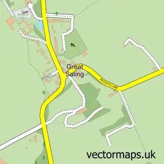
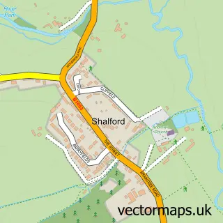
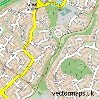
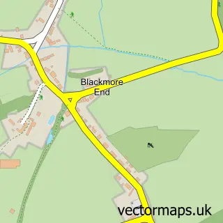
Nearby street map samples around Panfield

More street maps in Essex
750 metre map area coverage
Boundary, postcode and point of interest information for the 750m x 750m rectangle centred on this sample map.
Boundaries containing map centre
Constituency: Braintree Co Const
County: Essex County
District: Braintree District
Icb: NHS Essex ICB
Parish: Panfield CP
Police Force: essex
Postcode District: CM7
Postcode Sector: CM7 5
Ward: Three Fields Ward
Nearby boundaries intersecting sample
No additional intersecting boundaries found.
Postcode coverage
POI category counts
Structural Engineer: 2
Carpet Cleaning: 1
Electrician: 1
Landmark And Historical Building: 1
Printing Equipment And Supply: 1
Professional Services: 1
Pub: 1
Public Service And Government: 1
Sample points of interest
- The Profreshionals
- CW Electrics
- Panfield
- Poppins Plaques
- ASA Structural Consultants
- The Bell Inn
- Panfield Village Hall
- ASA Structural Consultants Ltd.
- Building & Structural Consultants
Create a larger editable map of Panfield
This sample shows only a 750 metre area. To create a larger map of Panfield, use our map builder to choose your own coverage area, add titles and download editable SVG, PDF and PNG files.
Create a custom map of Panfield