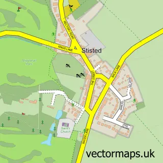
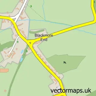
This Bocking Churchstreet street map is a detailed vector street map covering a 750m x 750m area. Select a larger area to create and download your own vector street map of Bocking Churchstreet.
The 750-metre map sample for Bocking Churchstreet covers 282 mapped buildings and approximately 12.7 km of road detail, of which 23 named roads are named. The immediate area includes 1 school, 4 GP surgeries within 2 miles, 1 pub and 15 MOT stations within 2 miles. The wider area around Bocking Churchstreet features 2 food and drink venues. To create a larger or custom map of Bocking Churchstreet, the map builder lets you define your own coverage area and download editable SVG, PDF and PNG files.
Create a larger editable map of Bocking Churchstreet
Choose any area you need and generate a high-quality vector map instantly. Perfect for print, planning, design, business and personal use.

This Bocking Churchstreet street map in Essex is available as downloadable SVG, PDF and PNG map files, or as a printed map for planning, business, display, education, local information and design work. You can also create a larger custom map area using the map selector.
What this Bocking Churchstreet map sample shows
Bocking Churchstreet lies within Essex County parish, part of Bocking North ward in the Braintree District local authority area. The postcode geography for this area includes the CM postcode area, the CM7 postcode district and the CM7 5 postcode sector. Residents fall under the Nhs Mid And South Essex Integrated Care Board for NHS services.
Local features near Bocking Churchstreet
Within 2 milesAmenities and services in and around Bocking Churchstreet.
Administrative and postcode information for Bocking Churchstreet
Bocking Churchstreet lies within Essex County parish, part of Bocking North ward in the Braintree District local authority area. The postcode geography for this area includes the CM postcode area, the CM7 postcode district and the CM7 5 postcode sector. Residents fall under the Nhs Mid And South Essex Integrated Care Board for NHS services.
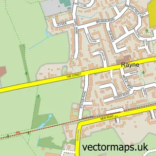
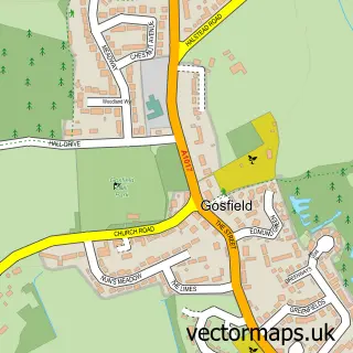
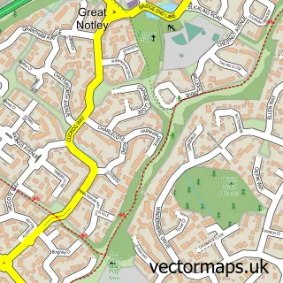
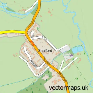
Nearby street map samples around Bocking Churchstreet
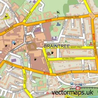

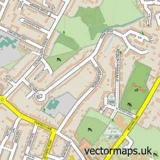
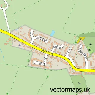
More street maps in Essex
750 metre map area coverage
Boundary, postcode and point of interest information for the 750m x 750m rectangle centred on this sample map.
Boundaries containing map centre
Constituency: Braintree Co Const
County: Essex County
District: Braintree District
Icb: NHS Essex ICB
Police Force: essex
Postcode District: CM7
Postcode Sector: CM7 5
Ward: Bocking North Ward
Nearby boundaries intersecting sample
No additional intersecting boundaries found.
Postcode coverage
POI category counts
Driving School: 4
Retirement Home: 3
Beauty Salon: 2
Business Management Services: 2
Church Cathedral: 2
Elementary School: 2
Housing Cooperative: 2
Language School: 2
Sports Club And League: 2
Anglican Church: 1
Sample points of interest
- The Deanery Church of St Mary the Virgin, Bocking
- St. Mary's Court Care Home
- Chelmsford Star Coop Bocking, Bocking
- Braintree Refrigeration
- Traceys Hair
- Cream Beauty Salon
- SX Nails
- Weavers Restaurant
- CastleKeep Business Continuity
- Freeola Ltd., Cheap UK Web Hosting, Free Email, Broadband, RQS Website Builder
- Silver Bowl Chinese Takeaway
- Bocking United Reformed Church
Create a larger editable map of Bocking Churchstreet
This sample shows only a 750 metre area. To create a larger map of Bocking Churchstreet, use our map builder to choose your own coverage area, add titles and download editable SVG, PDF and PNG files.
Create a custom map of Bocking Churchstreet