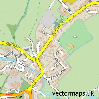
This Stisted street map is a detailed vector street map covering a 750m x 750m area. Select a larger area to create and download your own vector street map of Stisted.
The 750-metre map sample for Stisted covers 151 mapped buildings and approximately 8.4 km of road detail, of which 8 named roads are named. The immediate area includes 1 school and 1 MOT station within 2 miles. The wider area around Stisted features 1 tourism point of interest and 2 food and drink venues. To create a larger or custom map of Stisted, the map builder lets you define your own coverage area and download editable SVG, PDF and PNG files.
Create a larger editable map of Stisted
Choose any area you need and generate a high-quality vector map instantly. Perfect for print, planning, design, business and personal use.

This Stisted street map in Essex is available as downloadable SVG, PDF and PNG map files, or as a printed map for planning, business, display, education, local information and design work. You can also create a larger custom map area using the map selector.
What this Stisted map sample shows
Stisted lies within Stisted Cp parish, part of Coggeshall ward in the Braintree District local authority area. The postcode geography for this area includes the CM postcode area, the CM77 postcode district and the CM77 8 postcode sector. Residents fall under the Nhs Mid And South Essex Integrated Care Board for NHS services.
Local features near Stisted
Within 2 milesAmenities and services in and around Stisted.
Administrative and postcode information for Stisted
The local authority covering Stisted is Braintree District, within the county of Essex. The settlement lies within Coggeshall ward and Stisted Cp civil parish. The CM77 postcode district and CM77 8 postcode sector serve the immediate area. NHS provision in the area is delivered through Mid And South Essex Nhs Foundation Trust.
Nearby street map samples around Stisted
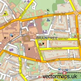

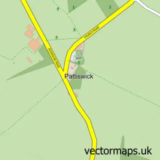

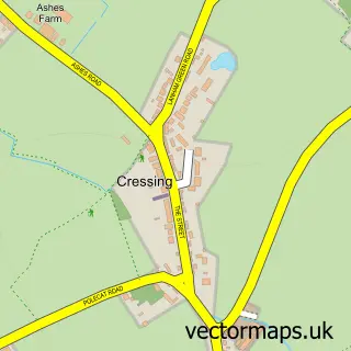
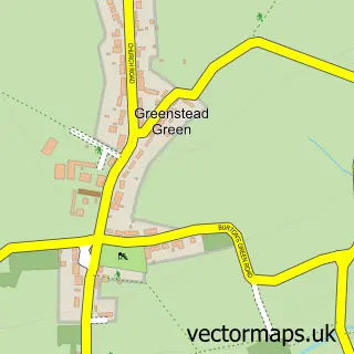
More street maps in Essex
750 metre map area coverage
Boundary, postcode and point of interest information for the 750m x 750m rectangle centred on this sample map.
Boundaries containing map centre
Constituency: Witham Co Const
County: Essex County
District: Braintree District
Icb: NHS Essex ICB
Parish: Stisted CP
Police Force: essex
Postcode District: CM77
Postcode Sector: CM77 8
Ward: Coggeshall Ward
Nearby boundaries intersecting sample
No additional intersecting boundaries found.
Postcode coverage
POI category counts
Anglican Church: 2
Post Office: 2
Business Management Services: 1
Cafe: 1
Computer Hardware Company: 1
Doctor: 1
Dog Trainer: 1
Electrician: 1
Elementary School: 1
Home Service: 1
Sample points of interest
- All Saints' Church
- Stisted: All Saints
- Developing Professionals International Ltd.
- Specialities Tea Rooms
- S Alderton
- Healthier Workforce
- Training plus Dog Training
- Local Electrician - AMP Electrical
- Stisted C of E Primary School
- Fairways Childcare Centre
- Stistedhall Park
- Post Office-Stisted
Create a larger editable map of Stisted
This sample shows only a 750 metre area. To create a larger map of Stisted, use our map builder to choose your own coverage area, add titles and download editable SVG, PDF and PNG files.
Create a custom map of Stisted