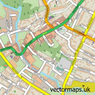
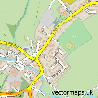
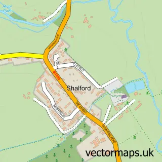
This Gosfield street map is a detailed vector street map covering a 750m x 750m area. Select a larger area to create and download your own vector street map of Gosfield.
The 750-metre map sample for Gosfield covers 279 mapped buildings and approximately 10.1 km of road detail, of which 15 named roads are named. The immediate area includes 1 school, 2 pubs and 4 MOT stations within 2 miles. The wider area around Gosfield features 2 food and drink venues. To create a larger or custom map of Gosfield, the map builder lets you define your own coverage area and download editable SVG, PDF and PNG files.
Create a larger editable map of Gosfield
Choose any area you need and generate a high-quality vector map instantly. Perfect for print, planning, design, business and personal use.

This Gosfield street map in Essex is available as downloadable SVG, PDF and PNG map files, or as a printed map for planning, business, display, education, local information and design work. You can also create a larger custom map area using the map selector.
What this Gosfield map sample shows
Gosfield lies within Gosfield Cp parish, part of Gosfield & Greenstead Green ward in the Braintree District local authority area. The postcode geography for this area includes the CO postcode area, the CO9 postcode district and the CO9 1 postcode sector. Residents fall under the Nhs Mid And South Essex Integrated Care Board for NHS services.
Local features near Gosfield
Within 2 milesAmenities and services in and around Gosfield.
Administrative and postcode information for Gosfield
The local authority covering Gosfield is Braintree District, within the county of Essex. The settlement lies within Gosfield & Greenstead Green ward and Gosfield Cp civil parish. The CO9 postcode district and CO9 1 postcode sector serve the immediate area. NHS provision in the area is delivered through Mid And South Essex Nhs Foundation Trust.
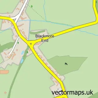
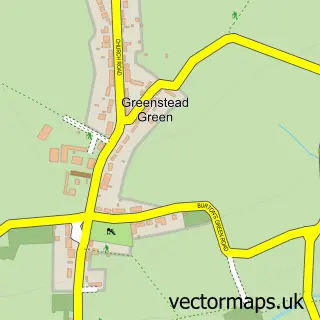
Nearby street map samples around Gosfield

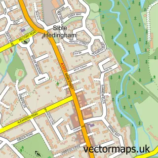
More street maps in Essex
750 metre map area coverage
Boundary, postcode and point of interest information for the 750m x 750m rectangle centred on this sample map.
Boundaries containing map centre
Constituency: Braintree Co Const
County: Essex County
District: Braintree District
Icb: NHS Essex ICB
Parish: Gosfield CP
Police Force: essex
Postcode District: CO9
Postcode Sector: CO9 1
Ward: Gosfield & Greenstead Green Ward
Nearby boundaries intersecting sample
No additional intersecting boundaries found.
Postcode coverage
POI category counts
Bar: 2
Brewery: 2
Pub: 2
Veterinarian: 2
Beauty And Spa: 1
Beauty Salon: 1
Contractor: 1
Elementary School: 1
Gardener: 1
Hair Salon: 1
Sample points of interest
- Gosfield Social Club
- The Marquis
- The Vanity Box
- Sue at The Vanity Box
- Courtyard Brewery
- The Courtyard Brewery
- Essex Block Paving
- Gosfield Community Primary School
- Designer Landscapes
- The Vanity Box
- Essex Elite Paving
- Nomad Legal
Create a larger editable map of Gosfield
This sample shows only a 750 metre area. To create a larger map of Gosfield, use our map builder to choose your own coverage area, add titles and download editable SVG, PDF and PNG files.
Create a custom map of Gosfield