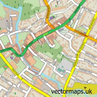
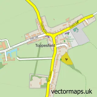
This Castle Hedingham street map is a detailed vector street map covering a 750m x 750m area. Select a larger area to create and download your own vector street map of Castle Hedingham.
The 750-metre map sample for Castle Hedingham covers 244 mapped buildings and approximately 13.7 km of road detail, of which 20 named roads are named. The immediate area includes 1 school, 1 GP surgery, 3 pubs and 3 MOT stations within 2 miles. The wider area around Castle Hedingham features 2 tourism points of interest and 4 food and drink venues. To create a larger or custom map of Castle Hedingham, the map builder lets you define your own coverage area and download editable SVG, PDF and PNG files.
Create a larger editable map of Castle Hedingham
Choose any area you need and generate a high-quality vector map instantly. Perfect for print, planning, design, business and personal use.

This Castle Hedingham street map in Essex is available as downloadable SVG, PDF and PNG map files, or as a printed map for planning, business, display, education, local information and design work. You can also create a larger custom map area using the map selector.
What this Castle Hedingham map sample shows
Castle Hedingham lies within Castle Hedingham Cp parish, part of Hedingham ward in the Braintree District local authority area. The postcode geography for this area includes the CO postcode area, the CO9 postcode district and the CO9 3 postcode sector. Residents fall under the Nhs Mid And South Essex Integrated Care Board for NHS services.
Local features near Castle Hedingham
Within 2 milesAmenities and services in and around Castle Hedingham.
Administrative and postcode information for Castle Hedingham
Castle Hedingham lies within Castle Hedingham Cp parish, part of Hedingham ward in the Braintree District local authority area. The postcode geography for this area includes the CO postcode area, the CO9 postcode district and the CO9 3 postcode sector. Residents fall under the Nhs Mid And South Essex Integrated Care Board for NHS services.
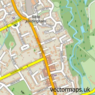
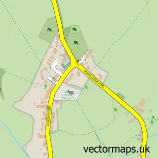
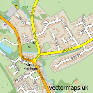
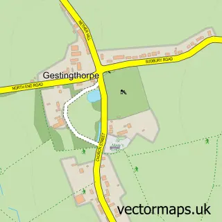
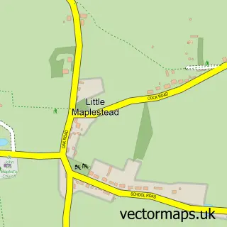
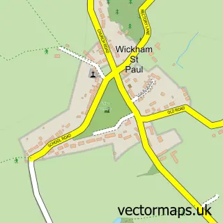
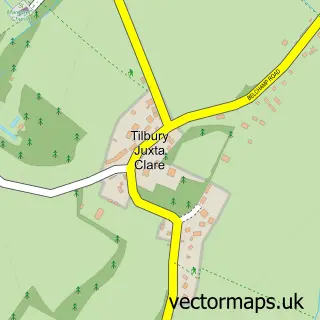
Nearby street map samples around Castle Hedingham

More street maps in Essex
750 metre map area coverage
Boundary, postcode and point of interest information for the 750m x 750m rectangle centred on this sample map.
Boundaries containing map centre
Constituency: Braintree Co Const
County: Essex County
District: Braintree District
Icb: NHS Essex ICB
Parish: Castle Hedingham CP
Police Force: essex
Postcode District: CO9
Postcode Sector: CO9 3
Ward: Hedingham Ward
Nearby boundaries intersecting sample
No additional intersecting boundaries found.
Postcode coverage
POI category counts
Pub: 3
Bed And Breakfast: 2
Building Supply Store: 2
Doctor: 2
Hair Salon: 2
Accountant: 1
Anglican Church: 1
Arts And Crafts: 1
Auto Glass Service: 1
Automotive: 1
Sample points of interest
- Caris Brook Ltd - Accountants
- Castle Hedingham: St Nicholas
- Popolo Ceramico Chelmsford & Epping
- R Beagrie & Co.
- AGCA - Agricultural and Car Repairs
- The Village Shop
- The Wheatsheaf
- Studio2 Castle Hedingham
- Castle View House
- Hedingham Old Pottery Bed and Breakfast
- The Old Moot House Tea Rooms & Bistro Castle Hedingham
- Beagrie Co
Create a larger editable map of Castle Hedingham
This sample shows only a 750 metre area. To create a larger map of Castle Hedingham, use our map builder to choose your own coverage area, add titles and download editable SVG, PDF and PNG files.
Create a custom map of Castle Hedingham