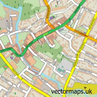
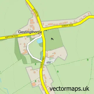
This Sible Hedingham street map is a detailed vector street map covering a 750m x 750m area. Select a larger area to create and download your own vector street map of Sible Hedingham.
The 750-metre map sample for Sible Hedingham covers 538 mapped buildings and approximately 14.8 km of road detail, of which 32 named roads are named. The immediate area includes 1 school, 1 GP surgery within 2 miles and 3 MOT stations within 2 miles. The wider area around Sible Hedingham features 4 food and drink venues. To create a larger or custom map of Sible Hedingham, the map builder lets you define your own coverage area and download editable SVG, PDF and PNG files.
Create a larger editable map of Sible Hedingham
Choose any area you need and generate a high-quality vector map instantly. Perfect for print, planning, design, business and personal use.

This Sible Hedingham street map in Essex is available as downloadable SVG, PDF and PNG map files, or as a printed map for planning, business, display, education, local information and design work. You can also create a larger custom map area using the map selector.
What this Sible Hedingham map sample shows
Sible Hedingham lies within Sible Hedingham Cp parish, part of Hedingham ward in the Braintree District local authority area. The postcode geography for this area includes the CO postcode area, the CO9 postcode district and the CO9 3 postcode sector. Residents fall under the Nhs Mid And South Essex Integrated Care Board for NHS services.
Local features near Sible Hedingham
Within 2 milesAmenities and services in and around Sible Hedingham.
Administrative and postcode information for Sible Hedingham
Sible Hedingham lies within Sible Hedingham Cp parish, part of Hedingham ward in the Braintree District local authority area. The postcode geography for this area includes the CO postcode area, the CO9 postcode district and the CO9 3 postcode sector. Residents fall under the Nhs Mid And South Essex Integrated Care Board for NHS services.
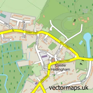
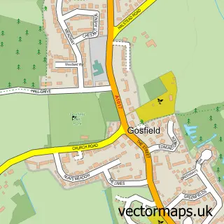
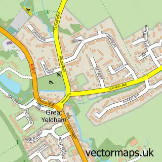
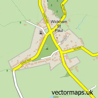
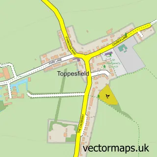
Nearby street map samples around Sible Hedingham

More street maps in Essex
750 metre map area coverage
Boundary, postcode and point of interest information for the 750m x 750m rectangle centred on this sample map.
Boundaries containing map centre
Constituency: Braintree Co Const
County: Essex County
District: Braintree District
Icb: NHS Essex ICB
Parish: Sible Hedingham CP
Police Force: essex
Postcode District: CO9
Postcode Sector: CO9 3
Ward: Hedingham Ward
Nearby boundaries intersecting sample
Parish: Castle Hedingham CP
Postcode coverage
POI category counts
Convenience Store: 6
Gas Station: 6
Professional Services: 5
Beauty Salon: 4
Building Supply Store: 3
Beauty And Spa: 2
Cafe: 2
Community Center: 2
Contractor: 2
Gutter Service: 2
Sample points of interest
- Precision PR Limited
- Darkins Supply Stores D I Y
- Jai & Sons Service Station (ESSO)
- Jennifer Cakes
- Hedingham Baptist Church
- Hedingham Cuts
- Nails by Rhiannon
- The Hair Lounge
- Elite hair design
- Elysium Beauty and Advanced Skincare
- Lite Lipo Plus
- Omorfia advanced beauty & Aesthetics
Create a larger editable map of Sible Hedingham
This sample shows only a 750 metre area. To create a larger map of Sible Hedingham, use our map builder to choose your own coverage area, add titles and download editable SVG, PDF and PNG files.
Create a custom map of Sible Hedingham