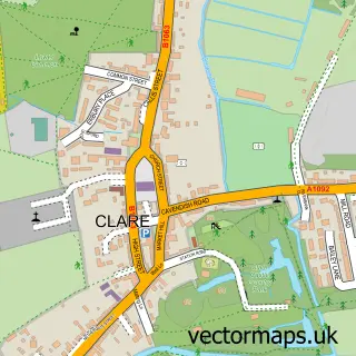
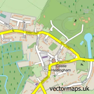
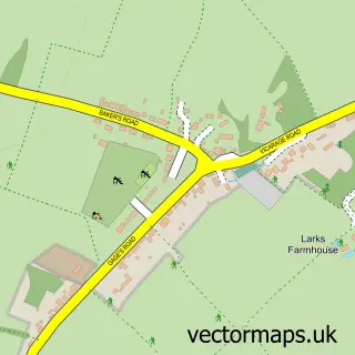
This Great Yeldham street map is a detailed vector street map covering a 750m x 750m area. Select a larger area to create and download your own vector street map of Great Yeldham.
The 750-metre map sample for Great Yeldham covers 374 mapped buildings and approximately 11.7 km of road detail, of which 20 named roads are named. The immediate area includes 1 school, 4 pubs and 1 MOT station within 2 miles. The wider area around Great Yeldham features 5 food and drink venues. To create a larger or custom map of Great Yeldham, the map builder lets you define your own coverage area and download editable SVG, PDF and PNG files.
Create a larger editable map of Great Yeldham
Choose any area you need and generate a high-quality vector map instantly. Perfect for print, planning, design, business and personal use.

This Great Yeldham street map in Essex is available as downloadable SVG, PDF and PNG map files, or as a printed map for planning, business, display, education, local information and design work. You can also create a larger custom map area using the map selector.
What this Great Yeldham map sample shows
Great Yeldham lies within Great Yeldham Cp parish, part of Yeldham ward in the Braintree District local authority area. The postcode geography for this area includes the CO postcode area, the CO9 postcode district and the CO9 4 postcode sector. Residents fall under the Nhs Mid And South Essex Integrated Care Board for NHS services.
Local features near Great Yeldham
Within 2 milesAmenities and services in and around Great Yeldham.
Administrative and postcode information for Great Yeldham
The local authority covering Great Yeldham is Braintree District, within the county of Essex. The settlement lies within Yeldham ward and Great Yeldham Cp civil parish. The CO9 postcode district and CO9 4 postcode sector serve the immediate area. NHS provision in the area is delivered through Cambridge University Hospitals Nhs Foundation Trust.
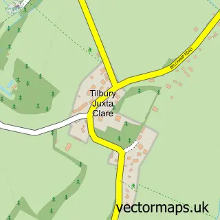
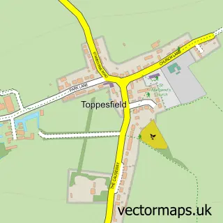
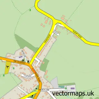
Nearby street map samples around Great Yeldham

More street maps in Essex
750 metre map area coverage
Boundary, postcode and point of interest information for the 750m x 750m rectangle centred on this sample map.
Boundaries containing map centre
Constituency: Braintree Co Const
County: Essex County
District: Braintree District
Icb: NHS Essex ICB
Parish: Great Yeldham CP
Police Force: essex
Postcode District: CO9
Postcode Sector: CO9 4
Ward: Yeldham Ward
Nearby boundaries intersecting sample
Parish: Little Yeldham CP
Ward: Stour Valley North Ward
Postcode coverage
POI category counts
Pub: 4
Convenience Store: 3
Building Supply Store: 2
Driving School: 2
Accountant: 1
Active Life: 1
Anglican Church: 1
Assisted Living Facility: 1
Atms: 1
Automotive Repair: 1
Sample points of interest
- Profit Guide Accountants
- Yeldham Gun Repairs
- Great Yeldham: St Andrew
- 360 Social Care Consultancy Ltd.
- PayPoint
- Wicked Wheels
- Zoe's
- Peter Kelk Weddings
- AE Pest Control
- Jeds Painting Services
- Smiffy's Hotel & Cafe
- Londis
Create a larger editable map of Great Yeldham
This sample shows only a 750 metre area. To create a larger map of Great Yeldham, use our map builder to choose your own coverage area, add titles and download editable SVG, PDF and PNG files.
Create a custom map of Great Yeldham