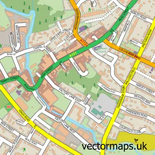
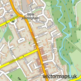
This Wickham St Paul street map is a detailed vector street map covering a 750m x 750m area. Select a larger area to create and download your own vector street map of Wickham St Paul.
The 750-metre map sample for Wickham St Paul covers 123 mapped buildings and approximately 11.3 km of road detail, of which 4 named roads are named. The immediate area includes 1 pub. The wider area around Wickham St Paul features 1 tourism point of interest, 1 food and drink venue and 1 hotel. To create a larger or custom map of Wickham St Paul, the map builder lets you define your own coverage area and download editable SVG, PDF and PNG files.
Create a larger editable map of Wickham St Paul
Choose any area you need and generate a high-quality vector map instantly. Perfect for print, planning, design, business and personal use.

This Wickham St Paul street map in Essex is available as downloadable SVG, PDF and PNG map files, or as a printed map for planning, business, display, education, local information and design work. You can also create a larger custom map area using the map selector.
What this Wickham St Paul map sample shows
Wickham St Paul lies within Wickham St. Paul Cp parish, part of Stour Valley South ward in the Braintree District local authority area. The postcode geography for this area includes the CO postcode area, the CO9 postcode district and the CO9 2 postcode sector. Residents fall under the Nhs Mid And South Essex Integrated Care Board for NHS services.
Local features near Wickham St Paul
Within 2 milesAmenities and services in and around Wickham St Paul.
Administrative and postcode information for Wickham St Paul
The local authority covering Wickham St Paul is Braintree District, within the county of Essex. The settlement lies within Stour Valley South ward and Wickham St. Paul Cp civil parish. The CO9 postcode district and CO9 2 postcode sector serve the immediate area. NHS provision in the area is delivered through West Suffolk Nhs Foundation Trust.
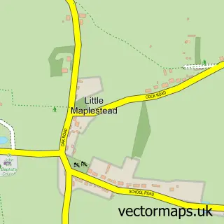
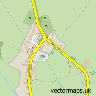
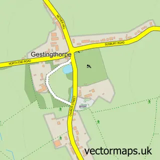
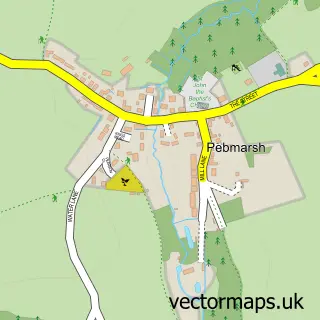
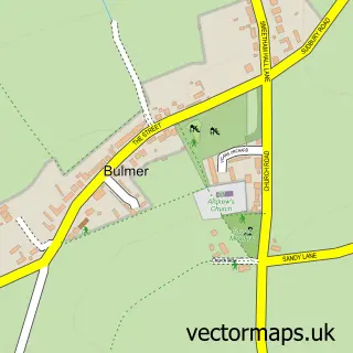
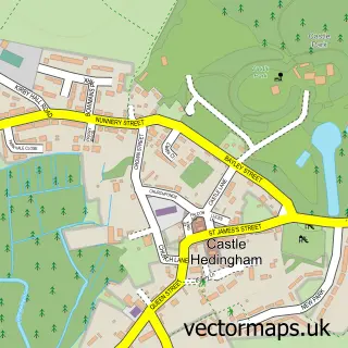
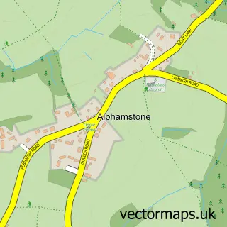
Nearby street map samples around Wickham St Paul

More street maps in Essex
750 metre map area coverage
Boundary, postcode and point of interest information for the 750m x 750m rectangle centred on this sample map.
Boundaries containing map centre
Constituency: Braintree Co Const
County: Essex County
District: Braintree District
Icb: NHS Essex ICB
Parish: Wickham St. Paul CP
Police Force: essex
Postcode District: CO9
Postcode Sector: CO9 2
Ward: Stour Valley South Ward
Nearby boundaries intersecting sample
Parish: Gestingthorpe CP
Postcode coverage
POI category counts
Farmers Market: 2
Shipping Center: 2
Advertising Agency: 1
Arts And Entertainment: 1
Assisted Living Facility: 1
Business To Business Services: 1
Farm: 1
Flowers And Gifts Shop: 1
Hotel: 1
Landmark And Historical Building: 1
Sample points of interest
- Third Wave UK
- Anglia Trophy & Badge Co
- Nursecall Bits
- Nursecall Bits
- Wickham Fruit Farm
- Coxs@Spencer's Farm Shop
- Spencers Farmshop
- Harper Rose Flowers
- Brickwall Holiday Cottages
- Wickham St. Paul
- Hit Marketing & Design
- The Victory Inn
Create a larger editable map of Wickham St Paul
This sample shows only a 750 metre area. To create a larger map of Wickham St Paul, use our map builder to choose your own coverage area, add titles and download editable SVG, PDF and PNG files.
Create a custom map of Wickham St Paul