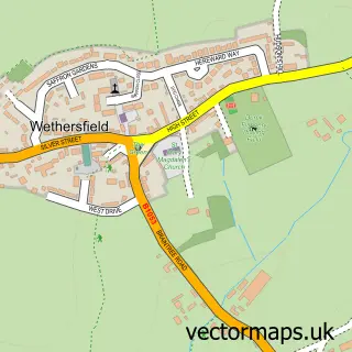
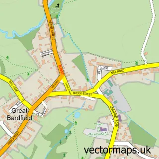
This Blackmore End street map is a detailed vector street map covering a 750m x 750m area. Select a larger area to create and download your own vector street map of Blackmore End.
The 750-metre map sample for Blackmore End covers 82 mapped buildings and approximately 8.0 km of road detail. To create a larger or custom map of Blackmore End, the map builder lets you define your own coverage area and download editable SVG, PDF and PNG files.
Create a larger editable map of Blackmore End
Choose any area you need and generate a high-quality vector map instantly. Perfect for print, planning, design, business and personal use.

This Blackmore End street map in Essex is available as downloadable SVG, PDF and PNG map files, or as a printed map for planning, business, display, education, local information and design work. You can also create a larger custom map area using the map selector.
What this Blackmore End map sample shows
Blackmore End lies within Wethersfield Cp parish, part of Three Fields ward in the Braintree District local authority area. The postcode geography for this area includes the CM postcode area, the CM7 postcode district and the CM7 4 postcode sector. Residents fall under the Nhs Mid And South Essex Integrated Care Board for NHS services.
Administrative and postcode information for Blackmore End
The local authority covering Blackmore End is Braintree District, within the county of Essex. The settlement lies within Three Fields ward and Wethersfield Cp civil parish. The CM7 postcode district and CM7 4 postcode sector serve the immediate area. NHS provision in the area is delivered through Mid And South Essex Nhs Foundation Trust.
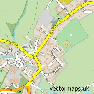
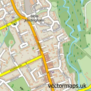
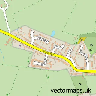
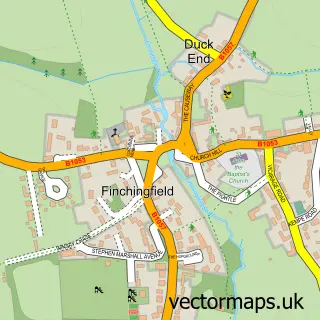
Nearby street map samples around Blackmore End

More street maps in Essex
750 metre map area coverage
Boundary, postcode and point of interest information for the 750m x 750m rectangle centred on this sample map.
Boundaries containing map centre
Constituency: Braintree Co Const
County: Essex County
District: Braintree District
Icb: NHS Essex ICB
Parish: Wethersfield CP
Police Force: essex
Postcode District: CM7
Postcode Sector: CM7 4
Ward: Three Fields Ward
Nearby boundaries intersecting sample
No additional intersecting boundaries found.
Postcode coverage
POI category counts
Water Treatment Equipment And Services: 2
Contractor: 1
Fence And Gate Sales Service: 1
Furniture Manufacturers: 1
Gym: 1
Post Office: 1
Sample points of interest
- Owls Hall Environmental Ltd
- Bell Fencing Ltd.
- Thos. H. Bretton Ltd.
- Blackmore End Village Hall
- Wethersfield Post Office
- Owls Hall Environmental Ltd.
- Owls Hall Farm Ltd.
Create a larger editable map of Blackmore End
This sample shows only a 750 metre area. To create a larger map of Blackmore End, use our map builder to choose your own coverage area, add titles and download editable SVG, PDF and PNG files.
Create a custom map of Blackmore End