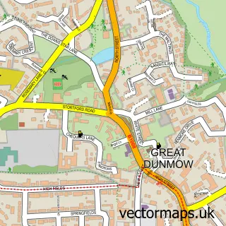
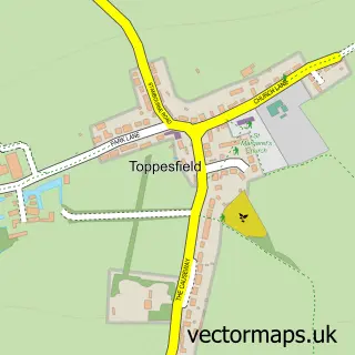
This Finchingfield street map is a detailed vector street map covering a 750m x 750m area. Select a larger area to create and download your own vector street map of Finchingfield.
The 750-metre map sample for Finchingfield covers 234 mapped buildings and approximately 13.9 km of road detail, of which 12 named roads are named. The immediate area includes 1 school, 1 GP surgery, 4 pubs and 2 MOT stations. The wider area around Finchingfield features 3 tourism points of interest and 4 food and drink venues. To create a larger or custom map of Finchingfield, the map builder lets you define your own coverage area and download editable SVG, PDF and PNG files.
Create a larger editable map of Finchingfield
Choose any area you need and generate a high-quality vector map instantly. Perfect for print, planning, design, business and personal use.

This Finchingfield street map in Essex is available as downloadable SVG, PDF and PNG map files, or as a printed map for planning, business, display, education, local information and design work. You can also create a larger custom map area using the map selector.
What this Finchingfield map sample shows
Finchingfield lies within Finchingfield Cp parish, part of Three Fields ward in the Braintree District local authority area. The postcode geography for this area includes the CM postcode area, the CM7 postcode district and the CM7 4 postcode sector. Residents fall under the Nhs Mid And South Essex Integrated Care Board for NHS services.
Local features near Finchingfield
Within 2 milesAmenities and services in and around Finchingfield.
Administrative and postcode information for Finchingfield
Finchingfield lies within Finchingfield Cp parish, part of Three Fields ward in the Braintree District local authority area. The postcode geography for this area includes the CM postcode area, the CM7 postcode district and the CM7 4 postcode sector. Residents fall under the Nhs Mid And South Essex Integrated Care Board for NHS services.
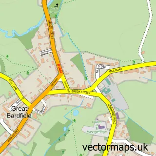
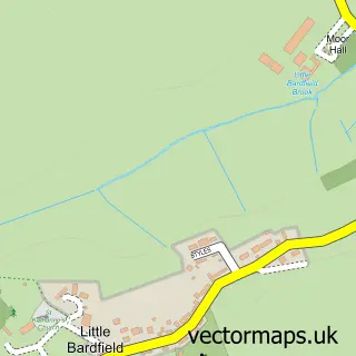
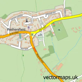
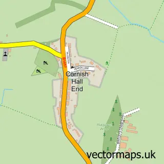
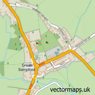
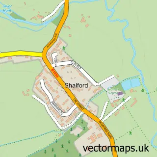
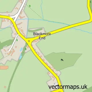
Nearby street map samples around Finchingfield

More street maps in Essex
750 metre map area coverage
Boundary, postcode and point of interest information for the 750m x 750m rectangle centred on this sample map.
Boundaries containing map centre
Constituency: Braintree Co Const
County: Essex County
District: Braintree District
Icb: NHS Essex ICB
Parish: Finchingfield CP
Police Force: essex
Postcode District: CM7
Postcode Sector: CM7 4
Ward: Three Fields Ward
Nearby boundaries intersecting sample
No additional intersecting boundaries found.
Postcode coverage
POI category counts
Pub: 4
Automotive Repair: 3
Antique Store: 2
Church Cathedral: 2
Doctor: 2
Italian Restaurant: 2
Advertising Agency: 1
Anglican Church: 1
Art Gallery: 1
Building Supply Store: 1
Sample points of interest
- Eric Dixon Media
- Finchingfield: St John Baptist
- Finchingfield Antiques
- The Antique Shop on the Hill
- Wonky Wheel Gallery
- Eastern Garage Essex Ltd
- Jesmond Garage Ltd
- Sapphire Classics Limited
- Anglia Ceiling Erectors
- Pant Valley Churches
- St John the Baptist Church
- Finchingfield Village Hall
Create a larger editable map of Finchingfield
This sample shows only a 750 metre area. To create a larger map of Finchingfield, use our map builder to choose your own coverage area, add titles and download editable SVG, PDF and PNG files.
Create a custom map of Finchingfield