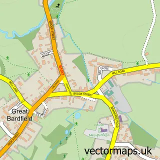
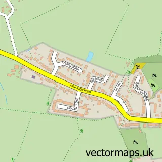
This Wethersfield street map is a detailed vector street map covering a 750m x 750m area. Select a larger area to create and download your own vector street map of Wethersfield.
The 750-metre map sample for Wethersfield covers 231 mapped buildings and approximately 8.2 km of road detail, of which 10 named roads are named. The immediate area includes 1 school, 1 GP surgery within 2 miles, 1 pub and 2 MOT stations within 2 miles. The wider area around Wethersfield features 2 tourism points of interest and 1 food and drink venue. To create a larger or custom map of Wethersfield, the map builder lets you define your own coverage area and download editable SVG, PDF and PNG files.
Create a larger editable map of Wethersfield
Choose any area you need and generate a high-quality vector map instantly. Perfect for print, planning, design, business and personal use.

This Wethersfield street map in Essex is available as downloadable SVG, PDF and PNG map files, or as a printed map for planning, business, display, education, local information and design work. You can also create a larger custom map area using the map selector.
What this Wethersfield map sample shows
Wethersfield lies within Wethersfield Cp parish, part of Three Fields ward in the Braintree District local authority area. The postcode geography for this area includes the CM postcode area, the CM7 postcode district and the CM7 4 postcode sector. Residents fall under the Nhs Mid And South Essex Integrated Care Board for NHS services.
Local features near Wethersfield
Within 2 milesAmenities and services in and around Wethersfield.
Administrative and postcode information for Wethersfield
Wethersfield lies within Wethersfield Cp parish, part of Three Fields ward in the Braintree District local authority area. The postcode geography for this area includes the CM postcode area, the CM7 postcode district and the CM7 4 postcode sector. Residents fall under the Nhs Mid And South Essex Integrated Care Board for NHS services.
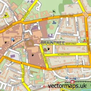
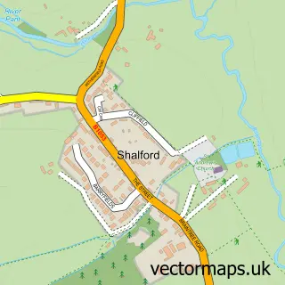
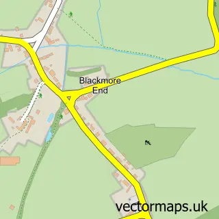
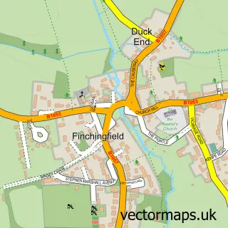
Nearby street map samples around Wethersfield

More street maps in Essex
750 metre map area coverage
Boundary, postcode and point of interest information for the 750m x 750m rectangle centred on this sample map.
Boundaries containing map centre
Constituency: Braintree Co Const
County: Essex County
District: Braintree District
Icb: NHS Essex ICB
Parish: Wethersfield CP
Police Force: essex
Postcode District: CM7
Postcode Sector: CM7 4
Ward: Three Fields Ward
Nearby boundaries intersecting sample
No additional intersecting boundaries found.
Postcode coverage
POI category counts
Life Coach: 3
Post Office: 3
Bed And Breakfast: 2
Driving School: 2
Elementary School: 2
Anglican Church: 1
Charity Organization: 1
Church Cathedral: 1
Community Center: 1
Contractor: 1
Sample points of interest
- St Mary Magdalene Wethersfield
- Brook Farm
- Little Barham B&B
- Wethersfield Community Activities
- St Mary Magdalene Church
- Wethersfield Village Hall
- Collins & Beckett
- Silver Lane Nursery
- James School Of Motoring
- James School of Motoring
- Little Legs Junior
- Wethersfield C of E Primary School
Create a larger editable map of Wethersfield
This sample shows only a 750 metre area. To create a larger map of Wethersfield, use our map builder to choose your own coverage area, add titles and download editable SVG, PDF and PNG files.
Create a custom map of Wethersfield