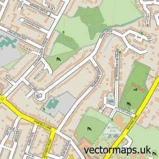
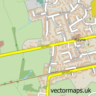
This Braintree street map is a detailed vector street map covering a 750m x 750m area. Select a larger area to create and download your own vector street map of Braintree.
The 750-metre map sample for Braintree covers 410 mapped buildings and approximately 16.7 km of road detail, of which 43 named roads are named. The immediate area includes 1 railway station, 1 GP surgery, with 4 within 2 miles, 13 pubs and 1 MOT station, with 19 within 2 miles. The wider area around Braintree features 5 tourism points of interest, 41 food and drink venues and 3 hotels. To create a larger or custom map of Braintree, the map builder lets you define your own coverage area and download editable SVG, PDF and PNG files.
Create a larger editable map of Braintree
Choose any area you need and generate a high-quality vector map instantly. Perfect for print, planning, design, business and personal use.

This Braintree street map in Essex is available as downloadable SVG, PDF and PNG map files, or as a printed map for planning, business, display, education, local information and design work. You can also create a larger custom map area using the map selector.
What this Braintree map sample shows
Braintree lies within Essex County parish, part of Braintree Central & Beckers Green ward in the Braintree District local authority area. The postcode geography for this area includes the CM postcode area, the CM7 postcode district and the CM7 1 postcode sector. Residents fall under the Nhs Mid And South Essex Integrated Care Board for NHS services.
Local features near Braintree
Within 2 milesAmenities and services in and around Braintree.
Administrative and postcode information for Braintree
The local authority covering Braintree is Braintree District, within the county of Essex. The settlement lies within Braintree Central & Beckers Green ward and Essex County civil parish. The CM7 postcode district and CM7 1 postcode sector serve the immediate area. NHS provision in the area is delivered through Mid And South Essex Nhs Foundation Trust.
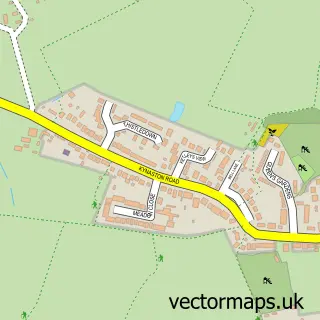
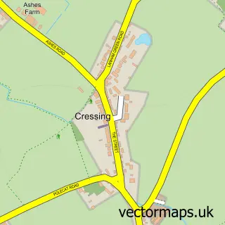
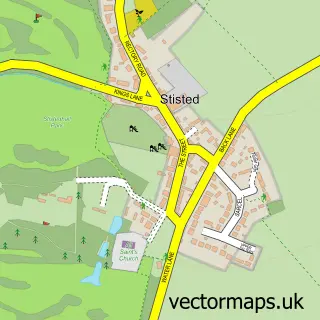
Nearby street map samples around Braintree


More street maps in Essex
750 metre map area coverage
Boundary, postcode and point of interest information for the 750m x 750m rectangle centred on this sample map.
Boundaries containing map centre
Constituency: Braintree Co Const
County: Essex County
District: Braintree District
Icb: NHS Essex ICB
Police Force: essex
Postcode District: CM7
Postcode Sector: CM7 3
Ward: Braintree Central & Beckers Green Ward
Nearby boundaries intersecting sample
Postcode Sector: CM7 1, CM7 2, CM7 9
Ward: Bocking Blackwater Ward, Bocking South Ward, Braintree South Ward, Braintree West Ward
Postcode coverage
POI category counts
Hair Salon: 20
Real Estate Agent: 19
Beauty Salon: 16
Professional Services: 15
Barber: 13
Clothing Store: 13
Pub: 13
Cafe: 12
Tattoo And Piercing: 11
Mobile Phone Store: 10
Sample points of interest
- Baker Chapman & Bussey
- Lambert Chapman LLP
- Lambert Chapman Llp
- St. Accountancy Services Ltd.
- Acupuncture & Herbs
- Herbal Lin Chinese Medicine Centre
- Connexions
- Digivita Ltd.
- The Essex Directory
- Your Wedding Invites
- Relax Revive Restore
- Monsta Grill
Create a larger editable map of Braintree
This sample shows only a 750 metre area. To create a larger map of Braintree, use our map builder to choose your own coverage area, add titles and download editable SVG, PDF and PNG files.
Create a custom map of Braintree