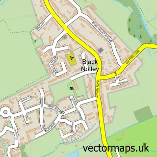
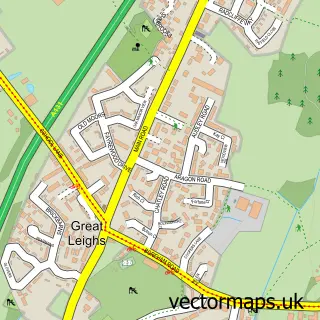
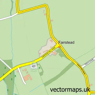
This Great Notley street map is a detailed vector street map covering a 750m x 750m area. Select a larger area to create and download your own vector street map of Great Notley.
The 750-metre map sample for Great Notley covers 672 mapped buildings and approximately 19.3 km of road detail, of which 50 named roads are named. The immediate area includes 1 school, 3 GP surgeries within 2 miles, 1 pub and 19 MOT stations within 2 miles. The wider area around Great Notley features 1 tourism point of interest and 2 food and drink venues. To create a larger or custom map of Great Notley, the map builder lets you define your own coverage area and download editable SVG, PDF and PNG files.
Create a larger editable map of Great Notley
Choose any area you need and generate a high-quality vector map instantly. Perfect for print, planning, design, business and personal use.

This Great Notley street map in Essex is available as downloadable SVG, PDF and PNG map files, or as a printed map for planning, business, display, education, local information and design work. You can also create a larger custom map area using the map selector.
What this Great Notley map sample shows
Great Notley lies within Great Notley Cp parish, part of Great Notley & Black Notley ward in the Braintree District local authority area. The postcode geography for this area includes the CM postcode area, the CM77 postcode district and the CM77 7 postcode sector. Residents fall under the Nhs Mid And South Essex Integrated Care Board for NHS services.
Local features near Great Notley
Within 2 milesAmenities and services in and around Great Notley.
Administrative and postcode information for Great Notley
Great Notley lies within Great Notley Cp parish, part of Great Notley & Black Notley ward in the Braintree District local authority area. The postcode geography for this area includes the CM postcode area, the CM77 postcode district and the CM77 7 postcode sector. Residents fall under the Nhs Mid And South Essex Integrated Care Board for NHS services.
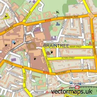
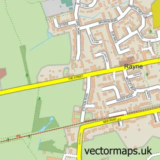
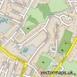
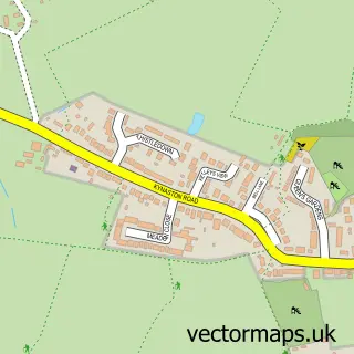
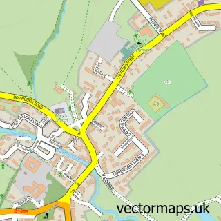
Nearby street map samples around Great Notley

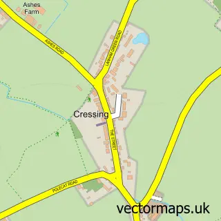
More street maps in Essex
750 metre map area coverage
Boundary, postcode and point of interest information for the 750m x 750m rectangle centred on this sample map.
Boundaries containing map centre
Constituency: Braintree Co Const
County: Essex County
District: Braintree District
Icb: NHS Essex ICB
Parish: Great Notley CP
Police Force: essex
Postcode District: CM77
Postcode Sector: CM77 7
Ward: Great Notley & Black Notley Ward
Nearby boundaries intersecting sample
No additional intersecting boundaries found.
Postcode coverage
POI category counts
Beauty Salon: 3
Convenience Store: 3
Bridal Shop: 2
Dance School: 2
Elementary School: 2
Funeral Services And Cemeteries: 2
Package Locker: 2
Post Office: 2
Acupuncture: 1
Building Supply Store: 1
Sample points of interest
- Equilibrium
- Nikkis Mobile Hairdressing
- Sally’s Nails & Lashes
- The Beauty Room - Great Notley
- Amos Wedding Car Hire
- In-Video
- Essex House Clearances
- Panners Coffee Bar
- Iceni Traditional Timber
- Fusion Thai & Chinese Cuisine
- The Church in Great Notley
- JCS External Solutions
Create a larger editable map of Great Notley
This sample shows only a 750 metre area. To create a larger map of Great Notley, use our map builder to choose your own coverage area, add titles and download editable SVG, PDF and PNG files.
Create a custom map of Great Notley