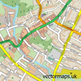
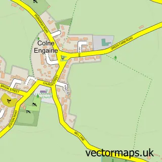
This Greenstead Green street map is a detailed vector street map covering a 750m x 750m area. Select a larger area to create and download your own vector street map of Greenstead Green.
The 750-metre map sample for Greenstead Green covers 102 mapped buildings and approximately 11.4 km of road detail, of which 2 named roads are named. The immediate area includes 2 GP surgeries within 2 miles and 4 MOT stations within 2 miles. The wider area around Greenstead Green features 1 food and drink venue. To create a larger or custom map of Greenstead Green, the map builder lets you define your own coverage area and download editable SVG, PDF and PNG files.
Create a larger editable map of Greenstead Green
Choose any area you need and generate a high-quality vector map instantly. Perfect for print, planning, design, business and personal use.

This Greenstead Green street map in Essex is available as downloadable SVG, PDF and PNG map files, or as a printed map for planning, business, display, education, local information and design work. You can also create a larger custom map area using the map selector.
What this Greenstead Green map sample shows
Greenstead Green lies within Greenstead Green And Halstead Rural Cp parish, part of Gosfield & Greenstead Green ward in the Braintree District local authority area. The postcode geography for this area includes the CO postcode area, the CO9 postcode district and the CO9 1 postcode sector. Residents fall under the Nhs Mid And South Essex Integrated Care Board for NHS services.
Local features near Greenstead Green
Within 2 milesAmenities and services in and around Greenstead Green.
Administrative and postcode information for Greenstead Green
Greenstead Green lies within Greenstead Green And Halstead Rural Cp parish, part of Gosfield & Greenstead Green ward in the Braintree District local authority area. The postcode geography for this area includes the CO postcode area, the CO9 postcode district and the CO9 1 postcode sector. Residents fall under the Nhs Mid And South Essex Integrated Care Board for NHS services.
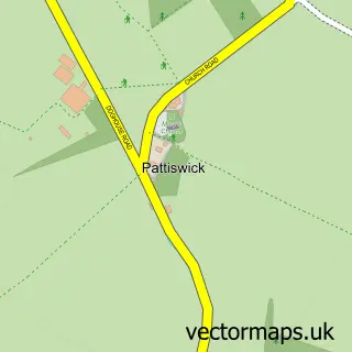
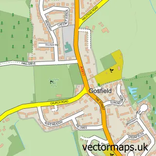
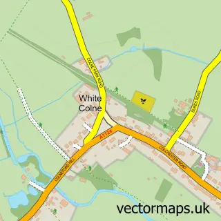
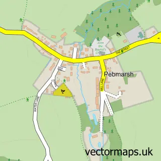
Nearby street map samples around Greenstead Green


More street maps in Essex
750 metre map area coverage
Boundary, postcode and point of interest information for the 750m x 750m rectangle centred on this sample map.
Boundaries containing map centre
Constituency: Braintree Co Const
County: Essex County
District: Braintree District
Icb: NHS Essex ICB
Parish: Greenstead Green and Halstead Rural CP
Police Force: essex
Postcode District: CO9
Postcode Sector: CO9 1
Ward: Gosfield & Greenstead Green Ward
Nearby boundaries intersecting sample
No additional intersecting boundaries found.
Postcode coverage
POI category counts
Shipping Center: 2
Arts And Crafts: 1
Beauty And Spa: 1
Cafe: 1
Community Center: 1
Dog Trainer: 1
Flowers And Gifts Shop: 1
Fruits And Vegetables: 1
Hair Salon: 1
Home Service: 1
Sample points of interest
- Essex Pottery Studio
- Lashes at The Green
- Martha’s Tearoom
- Greenstead Green village hall
- Greenstead Green Canine Hydrotherapy
- Greenstead Green Farm - Boutique, Gift Shop & Post Office
- Greenstead Farm
- Kaylors hairdressing
- The Barn Nursery School
- Ellenby Consultants
- Greenstead Green Canine Hydrotherapy
- Greenstead Animal Feeds
Create a larger editable map of Greenstead Green
This sample shows only a 750 metre area. To create a larger map of Greenstead Green, use our map builder to choose your own coverage area, add titles and download editable SVG, PDF and PNG files.
Create a custom map of Greenstead Green