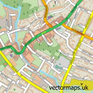
This Earls Colne street map is a detailed vector street map covering a 750m x 750m area. Select a larger area to create and download your own vector street map of Earls Colne.
The 750-metre map sample for Earls Colne covers 364 mapped buildings and approximately 10.7 km of road detail, of which 19 named roads are named. The immediate area includes 1 GP surgery within 2 miles, 1 pub and 1 MOT station, with 3 within 2 miles. The wider area around Earls Colne features 1 food and drink venue. To create a larger or custom map of Earls Colne, the map builder lets you define your own coverage area and download editable SVG, PDF and PNG files.
Create a larger editable map of Earls Colne
Choose any area you need and generate a high-quality vector map instantly. Perfect for print, planning, design, business and personal use.

This Earls Colne street map in Essex is available as downloadable SVG, PDF and PNG map files, or as a printed map for planning, business, display, education, local information and design work. You can also create a larger custom map area using the map selector.
What this Earls Colne map sample shows
Earls Colne lies within Earls Colne Cp parish, part of The Colnes ward in the Braintree District local authority area. The postcode geography for this area includes the CO postcode area, the CO6 postcode district and the CO6 2 postcode sector. Residents fall under the Nhs Mid And South Essex Integrated Care Board for NHS services.
Local features near Earls Colne
Within 2 milesAmenities and services in and around Earls Colne.
Administrative and postcode information for Earls Colne
The local authority covering Earls Colne is Braintree District, within the county of Essex. The settlement lies within The Colnes ward and Earls Colne Cp civil parish. The CO6 postcode district and CO6 2 postcode sector serve the immediate area. NHS provision in the area is delivered through East Suffolk And North Essex Nhs Foundation Trust.
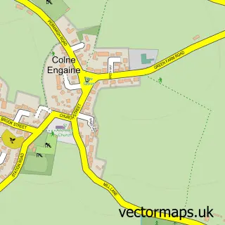
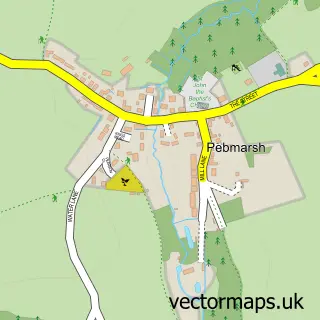
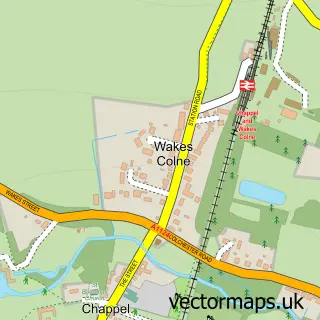
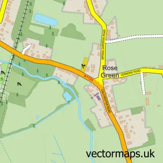
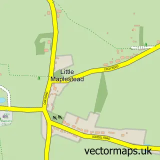
Nearby street map samples around Earls Colne


More street maps in Essex
750 metre map area coverage
Boundary, postcode and point of interest information for the 750m x 750m rectangle centred on this sample map.
Boundaries containing map centre
Constituency: Witham Co Const
County: Essex County
District: Braintree District
Icb: NHS Essex ICB
Parish: Earls Colne CP
Police Force: essex
Postcode District: CO6
Postcode Sector: CO6 2
Ward: The Colnes Ward
Nearby boundaries intersecting sample
Parish: Colne Engaine CP
Postcode coverage
POI category counts
Professional Services: 3
Automotive Repair: 2
Automotive Services And Repair: 2
Contractor: 2
Home Improvement Store: 2
Plumbing: 2
Printing Services: 2
Retail: 2
Scout Hall: 2
Sports Club And League: 2
Sample points of interest
- Godfrey Design
- Colne House Residential Care Home
- East of England Co-op EARLS COLNE (Int) (SWAP), Earls Colne
- WJ Autospray
- All Van Truck Rentals Workshops Ltd
- Incar Solutions UK
- Automotive Installations
- Robert Grinter Restorations
- Auto Resolve
- Incar Solutions
- Earls Colne Baptist Church
- Bobtique
Create a larger editable map of Earls Colne
This sample shows only a 750 metre area. To create a larger map of Earls Colne, use our map builder to choose your own coverage area, add titles and download editable SVG, PDF and PNG files.
Create a custom map of Earls Colne